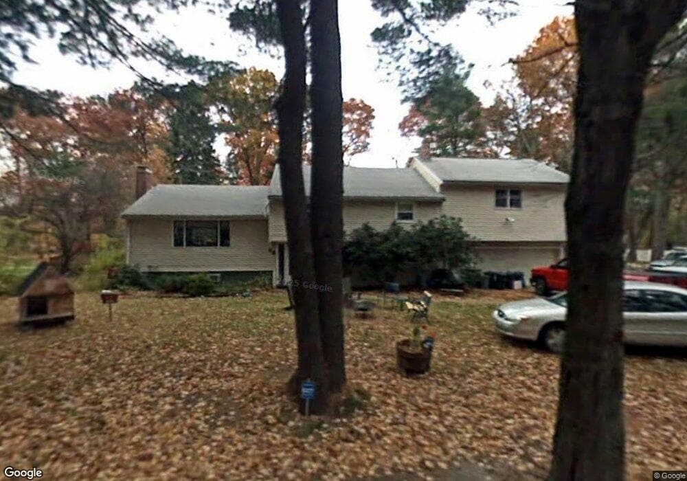
68 Ames St Sharon, MA 02067
Estimated Value: $764,717 - $851,000
4
Beds
3
Baths
1,854
Sq Ft
$434/Sq Ft
Est. Value
About This Home
This home is located at 68 Ames St, Sharon, MA 02067 and is currently estimated at $804,679, approximately $434 per square foot. 68 Ames St is a home located in Norfolk County with nearby schools including Cottage Street Elementary School, Sharon Middle School, and Sharon High School.
Ownership History
Date
Name
Owned For
Owner Type
Purchase Details
Closed on
Sep 29, 1993
Sold by
Elson Sheryl E and Elson Paul J
Bought by
Hirsch Stewart and Hirsch Thelma N
Current Estimated Value
Home Financials for this Owner
Home Financials are based on the most recent Mortgage that was taken out on this home.
Original Mortgage
$142,600
Interest Rate
7%
Mortgage Type
Purchase Money Mortgage
Purchase Details
Closed on
Nov 9, 1990
Sold by
Kauffman Manuel
Bought by
Elson Sheryl E
Create a Home Valuation Report for This Property
The Home Valuation Report is an in-depth analysis detailing your home's value as well as a comparison with similar homes in the area
Home Values in the Area
Average Home Value in this Area
Purchase History
| Date | Buyer | Sale Price | Title Company |
|---|---|---|---|
| Hirsch Stewart | $178,250 | -- | |
| Elson Sheryl E | $180,000 | -- |
Source: Public Records
Mortgage History
| Date | Status | Borrower | Loan Amount |
|---|---|---|---|
| Closed | Elson Sheryl E | $90,500 | |
| Closed | Elson Sheryl E | $75,000 | |
| Closed | Elson Sheryl E | $142,600 | |
| Previous Owner | Elson Sheryl E | $122,700 |
Source: Public Records
Tax History
| Year | Tax Paid | Tax Assessment Tax Assessment Total Assessment is a certain percentage of the fair market value that is determined by local assessors to be the total taxable value of land and additions on the property. | Land | Improvement |
|---|---|---|---|---|
| 2025 | $11,411 | $652,800 | $384,200 | $268,600 |
| 2024 | $10,919 | $621,100 | $352,500 | $268,600 |
| 2023 | $10,686 | $574,800 | $329,500 | $245,300 |
| 2022 | $9,932 | $502,900 | $274,600 | $228,300 |
| 2021 | $9,827 | $481,000 | $259,100 | $221,900 |
| 2020 | $9,139 | $481,000 | $259,100 | $221,900 |
| 2019 | $9,045 | $466,000 | $229,300 | $236,700 |
| 2018 | $8,939 | $461,500 | $224,800 | $236,700 |
| 2017 | $8,764 | $446,700 | $210,000 | $236,700 |
| 2016 | $8,573 | $426,300 | $210,000 | $216,300 |
| 2015 | $8,179 | $402,900 | $192,600 | $210,300 |
| 2014 | $7,953 | $387,000 | $175,200 | $211,800 |
Source: Public Records
Map
Nearby Homes
- 58 Ames St
- 22 Ames Ct
- 133 Ames St
- 15 Paul Revere Rd
- 29 Station St
- 63 Highland St
- 42 Glendale Rd
- 11 Robs Ln
- 31 Spring Ln
- 111 E Foxboro St
- 132 Massapoag Ave
- 48 Spring Ln
- 26 Sandy Ridge Cir
- 136 N Main St
- 11 Wilshire Dr
- 27 Suffolk Rd
- 174 E Foxboro St
- 61 Lincoln Rd
- 20 Trowel Shop Pond Rd Unit 24
- 16 Trowel Shop Pond Rd Unit 16
Your Personal Tour Guide
Ask me questions while you tour the home.