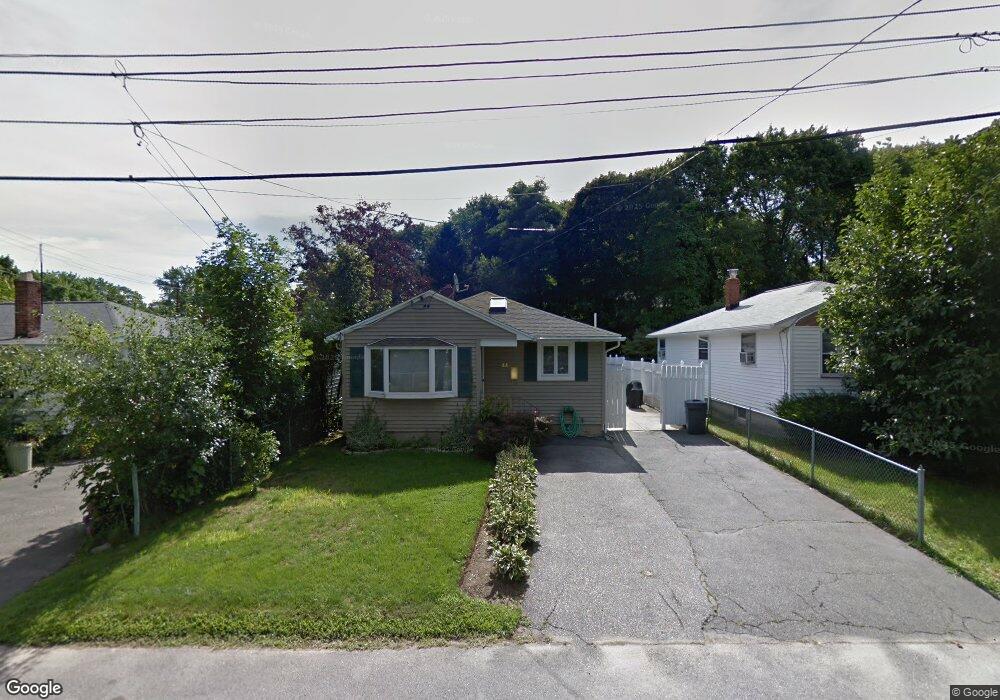
68 Amherst Ave Waltham, MA 02451
Piety Corner NeighborhoodEstimated Value: $691,000 - $718,000
3
Beds
2
Baths
1,687
Sq Ft
$417/Sq Ft
Est. Value
About This Home
This home is located at 68 Amherst Ave, Waltham, MA 02451 and is currently estimated at $703,880, approximately $417 per square foot. 68 Amherst Ave is a home located in Middlesex County with nearby schools including Douglas Macarthur Elementary School, John F Kennedy Middle School, and Waltham Sr High School.
Ownership History
Date
Name
Owned For
Owner Type
Purchase Details
Closed on
Jan 30, 2001
Sold by
Ramirez Brenda I and Gomez Felipe J
Bought by
Mills Carl J
Current Estimated Value
Home Financials for this Owner
Home Financials are based on the most recent Mortgage that was taken out on this home.
Original Mortgage
$205,000
Outstanding Balance
$75,766
Interest Rate
7.39%
Mortgage Type
Purchase Money Mortgage
Estimated Equity
$628,114
Purchase Details
Closed on
Apr 30, 1997
Sold by
Patel Dalpatrai V and Patel Premi D
Bought by
Ramirez Brenda I
Create a Home Valuation Report for This Property
The Home Valuation Report is an in-depth analysis detailing your home's value as well as a comparison with similar homes in the area
Home Values in the Area
Average Home Value in this Area
Purchase History
| Date | Buyer | Sale Price | Title Company |
|---|---|---|---|
| Mills Carl J | $257,000 | -- | |
| Ramirez Brenda I | $141,500 | -- |
Source: Public Records
Mortgage History
| Date | Status | Borrower | Loan Amount |
|---|---|---|---|
| Open | Ramirez Brenda I | $205,000 | |
| Previous Owner | Ramirez Brenda I | $25,000 |
Source: Public Records
Tax History Compared to Growth
Tax History
| Year | Tax Paid | Tax Assessment Tax Assessment Total Assessment is a certain percentage of the fair market value that is determined by local assessors to be the total taxable value of land and additions on the property. | Land | Improvement |
|---|---|---|---|---|
| 2025 | $5,308 | $540,500 | $333,000 | $207,500 |
| 2024 | $5,037 | $522,500 | $317,100 | $205,400 |
| 2023 | $5,013 | $485,800 | $289,500 | $196,300 |
| 2022 | $5,016 | $450,300 | $262,000 | $188,300 |
| 2021 | $4,981 | $440,000 | $262,000 | $178,000 |
| 2020 | $4,915 | $411,300 | $248,200 | $163,100 |
| 2019 | $4,739 | $374,300 | $233,800 | $140,500 |
| 2018 | $4,287 | $340,000 | $216,500 | $123,500 |
| 2017 | $4,019 | $320,000 | $196,500 | $123,500 |
| 2016 | $3,756 | $306,900 | $183,400 | $123,500 |
| 2015 | $3,766 | $286,800 | $172,300 | $114,500 |
Source: Public Records
Map
Nearby Homes
- 133 Lake St
- 129 Lake St
- 30 Wampum Ave
- 14 Piedmont Ave
- 65 Montclair Ave
- 234 Lake St
- 28 Hillcrest St
- 249 Lake St
- 98 Seminole Ave
- 44 Sachem St
- 463 Lincoln St
- 28 College Farm Rd Unit 2
- 92 Milner St
- 30 Jacqueline Rd Unit C
- 15 Kings Way Unit 25
- 11 Autumn Ln
- 15 Cedarcroft Ln
- 16 Winter St Unit 26C
- 511 Lexington St
- 49 Lincoln St