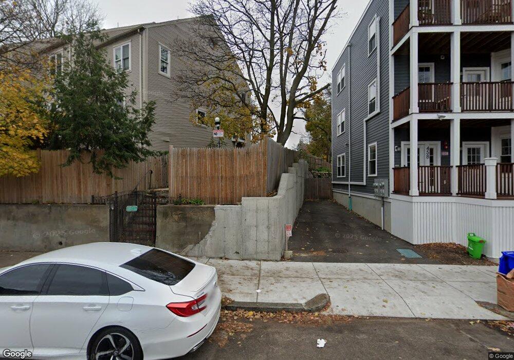
68 Bird St Unit 12 Dorchester, MA 02125
Uphams Corner-Jones Hill NeighborhoodEstimated Value: $380,000 - $491,000
3
Beds
2
Baths
1,024
Sq Ft
$425/Sq Ft
Est. Value
About This Home
This home is located at 68 Bird St Unit 12, Dorchester, MA 02125 and is currently estimated at $435,337, approximately $425 per square foot. 68 Bird St Unit 12 is a home located in Suffolk County with nearby schools including Uncommon Schools Roxbury Prep Dorchester Campus.
Ownership History
Date
Name
Owned For
Owner Type
Purchase Details
Closed on
Sep 22, 1999
Sold by
Omega Two Rt and Cooperstein
Bought by
Floyd Debra A
Current Estimated Value
Home Financials for this Owner
Home Financials are based on the most recent Mortgage that was taken out on this home.
Original Mortgage
$79,900
Outstanding Balance
$23,337
Interest Rate
8.1%
Mortgage Type
Purchase Money Mortgage
Estimated Equity
$412,000
Create a Home Valuation Report for This Property
The Home Valuation Report is an in-depth analysis detailing your home's value as well as a comparison with similar homes in the area
Home Values in the Area
Average Home Value in this Area
Purchase History
| Date | Buyer | Sale Price | Title Company |
|---|---|---|---|
| Floyd Debra A | $82,400 | -- | |
| Omega Two Rt | $123,900 | -- | |
| Floyd Debra A | $82,400 | -- |
Source: Public Records
Mortgage History
| Date | Status | Borrower | Loan Amount |
|---|---|---|---|
| Open | Floyd Debra A | $79,900 | |
| Closed | Floyd Debra A | $79,900 |
Source: Public Records
Tax History Compared to Growth
Tax History
| Year | Tax Paid | Tax Assessment Tax Assessment Total Assessment is a certain percentage of the fair market value that is determined by local assessors to be the total taxable value of land and additions on the property. | Land | Improvement |
|---|---|---|---|---|
| 2025 | $3,635 | $313,900 | $0 | $313,900 |
| 2024 | $2,998 | $275,000 | $0 | $275,000 |
| 2023 | $2,840 | $264,400 | $0 | $264,400 |
| 2022 | $2,740 | $251,800 | $0 | $251,800 |
| 2021 | $2,634 | $246,900 | $0 | $246,900 |
| 2020 | $2,194 | $207,800 | $0 | $207,800 |
| 2019 | $1,991 | $188,880 | $0 | $188,880 |
| 2018 | $1,799 | $171,680 | $0 | $171,680 |
| 2017 | $2,123 | $200,500 | $0 | $200,500 |
| 2016 | $2,061 | $187,400 | $0 | $187,400 |
| 2015 | $2,133 | $176,100 | $0 | $176,100 |
| 2014 | $2,090 | $166,100 | $0 | $166,100 |
Source: Public Records
Map
Nearby Homes
- 5 Wheelock Ave
- 42 Monadnock St
- 173 Magnolia St Unit 5
- 3 Ware St
- 22 Ronan St
- 47 Sargent St Unit 3
- 20 Rill St
- 96-98 Woodledge St
- 106 Sawyer Ave Unit 3
- 60 Stanley St Unit 301
- 60 Stanley St Unit 302
- 60 Stanley St
- 60 Stanley St Unit 101
- 18 Sargent St Unit B
- 52 Bellevue St Unit 1
- 52 Bellevue St Unit 2
- 35 Cunningham St
- 38 Woodford St
- 53 Woodford St
- 130 Howard Ave
- 68 Bird St Unit 19
- 68 Bird St Unit 18
- 68 Bird St Unit 17
- 68 Bird St Unit 16
- 68 Bird St Unit 15
- 68 Bird St Unit 14
- 68 Bird St Unit 13
- 68 Bird St Unit 11
- 68 Bird St Unit 10
- 68 Bird St Unit 9
- 68 Bird St Unit 8
- 68 Bird St Unit 7
- 68 Bird St Unit 6
- 68 Bird St Unit 5
- 68 Bird St Unit 4
- 68 Bird St Unit 3
- 68 Bird St Unit 2
- 68 Bird St Unit 1
- 72 Bird St Unit 74
- 16 Sayward St