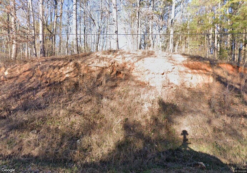
68 Branch Rd Cedartown, GA 30125
Estimated Value: $291,000 - $445,231
3
Beds
3
Baths
1,870
Sq Ft
$188/Sq Ft
Est. Value
About This Home
This home is located at 68 Branch Rd, Cedartown, GA 30125 and is currently estimated at $350,744, approximately $187 per square foot. 68 Branch Rd is a home located in Polk County with nearby schools including Cedar Christian School.
Ownership History
Date
Name
Owned For
Owner Type
Purchase Details
Closed on
Sep 15, 2021
Sold by
Mouchakkaa Pascal
Bought by
Fossett Chris Rollie and Fossett Tracy H
Current Estimated Value
Purchase Details
Closed on
Jun 15, 2012
Sold by
Roland Alvin
Bought by
Roland Carleen J
Purchase Details
Closed on
Jun 12, 2012
Sold by
Roland Carleen J
Bought by
Mouchakkaa Pascal and Mouchakkaa Tracy
Purchase Details
Closed on
Jul 13, 1995
Sold by
West Duane G
Bought by
Roland Alvin and Roland Careleen J
Purchase Details
Closed on
Jul 12, 1995
Sold by
Thomas Kenneth Lee
Bought by
West Duane G
Purchase Details
Closed on
Nov 11, 1994
Sold by
West Duane G
Bought by
Thomas Kenneth Lee
Purchase Details
Closed on
Jun 1, 1994
Sold by
West Duane G
Bought by
Thomas Kenneth Lee
Create a Home Valuation Report for This Property
The Home Valuation Report is an in-depth analysis detailing your home's value as well as a comparison with similar homes in the area
Home Values in the Area
Average Home Value in this Area
Purchase History
| Date | Buyer | Sale Price | Title Company |
|---|---|---|---|
| Fossett Chris Rollie | $99,900 | -- | |
| Roland Carleen J | -- | -- | |
| Mouchakkaa Pascal | $38,500 | -- | |
| Roland Alvin | $15,000 | -- | |
| West Duane G | $14,800 | -- | |
| Thomas Kenneth Lee | $12,700 | -- | |
| West Duane G | -- | -- | |
| Thomas Kenneth Lee | $7,500 | -- |
Source: Public Records
Tax History Compared to Growth
Tax History
| Year | Tax Paid | Tax Assessment Tax Assessment Total Assessment is a certain percentage of the fair market value that is determined by local assessors to be the total taxable value of land and additions on the property. | Land | Improvement |
|---|---|---|---|---|
| 2024 | $2,893 | $138,382 | $19,944 | $118,438 |
| 2023 | $2,272 | $95,732 | $19,944 | $75,788 |
| 2022 | $355 | $14,969 | $13,296 | $1,673 |
| 2021 | $360 | $14,969 | $13,296 | $1,673 |
| 2020 | $361 | $14,969 | $13,296 | $1,673 |
| 2019 | $385 | $14,326 | $13,296 | $1,030 |
| 2018 | $395 | $14,326 | $13,296 | $1,030 |
| 2017 | $390 | $14,326 | $13,296 | $1,030 |
| 2016 | $436 | $16,030 | $15,000 | $1,030 |
| 2015 | $438 | $16,030 | $15,000 | $1,030 |
| 2014 | $441 | $16,030 | $15,000 | $1,030 |
Source: Public Records
Map
Nearby Homes
- 1806 Piedmont Hwy
- 1810 Piedmont Hwy
- 0 Johnson Lake Rd Unit 7575274
- 0 Cornelius Rd Unit 7646589
- 35 Harris Loop
- 966 Judkin Mill Rd
- 0 Judkin Mill Rd Unit LotWP001 19369404
- 745 Brewster Field Rd
- 255 Reynolds Rd
- 497 Judkin Mill Rd
- 812 Brewster Field Rd
- 1849 Prior Station Rd Unit 76 ACRES
- 1849 Prior Station Rd
- 0 Old Esom Hill Loop Unit 7654342
- 0 Old Esom Hill Loop Unit 10611077
- 119 New Harmony Rd
- 0 Culp Lake Rd Unit 1025-K 10390361
- 0 Culp Lake Rd Unit 1025-J 10390355
- 0 Culp Lake Rd Unit 1025-I 10390347
- 0 Culp Lake Rd Unit 1025-H 10390344
- 68 Branch Rd
- 94 Branch Rd
- 18 Branch Rd
- 2044 Piedmont Hwy
- 2046 Piedmont Hwy
- 65 Branch Rd
- 105 Branch Rd
- 2022 Piedmont Hwy
- 0000 Akes Station Rd
- 000 Akes Station Rd
- 00000 Akes Station Rd
- 0 Akes Station Rd
- 000000 Akes Station Rd
- 0 Akes Station Rd Unit 7017611
- 0 Akes Station Rd Unit 20026418
- 0 Akes Station Rd Unit W 8320394
- 0 Akes Station Rd Unit 11.74 8320577
- 0 Akes Station Rd Unit 30.65 8319436
- 0 Akes Station Rd Unit E 8319607
- 0 Akes Station Rd Unit 61.3 8318981
