68 Christman Ct Pottstown, PA 19465
Estimated Value: $616,035 - $667,000
4
Beds
4
Baths
2,854
Sq Ft
$228/Sq Ft
Est. Value
About This Home
This home is located at 68 Christman Ct, Pottstown, PA 19465 and is currently estimated at $651,509, approximately $228 per square foot. 68 Christman Ct is a home located in Chester County with nearby schools including East Coventry Elementary School, Owen J Roberts Middle School, and Owen J Roberts High School.
Ownership History
Date
Name
Owned For
Owner Type
Purchase Details
Closed on
Jun 11, 2018
Sold by
Martin Derrill Jay and Martin Julie Ann
Bought by
Martin Derrill Jay and Martin Julie Ann
Current Estimated Value
Purchase Details
Closed on
Nov 25, 2014
Sold by
Doering John and Doering Carol Anne
Bought by
Doering Timothy Paul and Doering Jennifer Marie
Create a Home Valuation Report for This Property
The Home Valuation Report is an in-depth analysis detailing your home's value as well as a comparison with similar homes in the area
Home Values in the Area
Average Home Value in this Area
Purchase History
| Date | Buyer | Sale Price | Title Company |
|---|---|---|---|
| Martin Derrill Jay | -- | Patriot Land Transfer Inc | |
| Doering Timothy Paul | -- | Patriot Land Transfer Inc | |
| Martin Derrill Jay | $2,859 | Patriot Land Transfer Inc | |
| Doering Timothy Paul | $325,000 | None Available |
Source: Public Records
Tax History Compared to Growth
Tax History
| Year | Tax Paid | Tax Assessment Tax Assessment Total Assessment is a certain percentage of the fair market value that is determined by local assessors to be the total taxable value of land and additions on the property. | Land | Improvement |
|---|---|---|---|---|
| 2025 | $7,706 | $183,140 | $53,780 | $129,360 |
| 2024 | $7,706 | $183,140 | $53,780 | $129,360 |
| 2023 | $7,597 | $183,140 | $53,780 | $129,360 |
| 2022 | $7,476 | $183,140 | $53,780 | $129,360 |
| 2021 | $7,387 | $183,140 | $53,780 | $129,360 |
| 2020 | $7,202 | $183,140 | $53,780 | $129,360 |
| 2019 | $7,070 | $183,140 | $53,780 | $129,360 |
| 2018 | $8,219 | $217,000 | $53,270 | $163,730 |
| 2017 | $8,029 | $217,000 | $53,270 | $163,730 |
| 2016 | $6,088 | $217,000 | $53,270 | $163,730 |
| 2015 | $6,088 | $217,000 | $53,270 | $163,730 |
| 2014 | $6,088 | $217,000 | $53,270 | $163,730 |
Source: Public Records
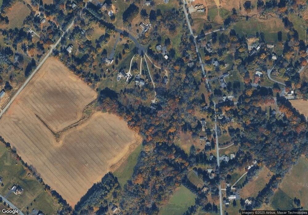
Map
Nearby Homes
- 10 Ashwood Dr
- 25 Hastings Ln
- 723 Saylors Mill Rd
- 26 Kolb Rd
- 120 Alackness Rd
- 109 Alackness Rd
- 3 Brower Ln
- 1112 W Bridge St
- 537 Schoolhouse Rd
- 5 N Savanna Dr
- 891 Brown Dr
- 287 Kulp Rd
- 28 Wil-Be Dr
- 354 Calloway Ct
- 107 Beacon Ct Unit 10104
- Welsh Plan at Riverstone Crossing
- 205 Polaris Dr
- 5 Madison Dr
- 33 Mulberry Green
- 75 Gristmill Ln
- 64 Christman Ct
- 72 Christman Ct
- 412 Saylors Mill Rd
- 54 Christman Ct
- 386 Saylors Mill Rd
- 480 Saylors Mill Rd
- 428 Saylors Mill Rd
- 61 Christman Ct
- 38 Christman Ct
- 413 Saylors Mill Rd
- 344 Saylors Mill Rd
- 442 Saylors Mill Rd
- 31 Kolb Rd
- 381 Saylors Mill Rd
- 456 Saylors Mill Rd
- 349 Saylors Mill Rd
- 41 Christman Ct
- 365 Saylors Mill Rd
- 472 Saylors Mill Rd
- 451 Saylors Mill Rd