68 Clarks Point Rd Wiscasset, ME 04578
Estimated Value: $641,000 - $847,896
3
Beds
2
Baths
1,764
Sq Ft
$403/Sq Ft
Est. Value
About This Home
This home is located at 68 Clarks Point Rd, Wiscasset, ME 04578 and is currently estimated at $710,965, approximately $403 per square foot. 68 Clarks Point Rd is a home with nearby schools including Sheepscot Valley Children's House and Wiscasset Christian Academy.
Ownership History
Date
Name
Owned For
Owner Type
Purchase Details
Closed on
Jan 9, 2012
Sold by
Ebberts Penelope F and Furbish David R
Bought by
Dorsey Matthew
Current Estimated Value
Purchase Details
Closed on
Aug 26, 2009
Sold by
Dorsey Matthew W and Swanson Karin
Bought by
Dorsey Matthew W
Home Financials for this Owner
Home Financials are based on the most recent Mortgage that was taken out on this home.
Original Mortgage
$148,680
Interest Rate
5.17%
Mortgage Type
Purchase Money Mortgage
Create a Home Valuation Report for This Property
The Home Valuation Report is an in-depth analysis detailing your home's value as well as a comparison with similar homes in the area
Home Values in the Area
Average Home Value in this Area
Purchase History
| Date | Buyer | Sale Price | Title Company |
|---|---|---|---|
| Dorsey Matthew | -- | -- | |
| Dorsey Matthew W | -- | -- |
Source: Public Records
Mortgage History
| Date | Status | Borrower | Loan Amount |
|---|---|---|---|
| Previous Owner | Dorsey Matthew W | $148,680 |
Source: Public Records
Tax History Compared to Growth
Tax History
| Year | Tax Paid | Tax Assessment Tax Assessment Total Assessment is a certain percentage of the fair market value that is determined by local assessors to be the total taxable value of land and additions on the property. | Land | Improvement |
|---|---|---|---|---|
| 2024 | $10,555 | $594,000 | $112,600 | $481,400 |
| 2023 | $10,054 | $589,700 | $112,600 | $477,100 |
| 2022 | $9,359 | $466,100 | $90,200 | $375,900 |
| 2021 | $9,199 | $457,200 | $90,200 | $367,000 |
| 2020 | $9,199 | $457,200 | $90,200 | $367,000 |
| 2019 | $9,098 | $457,200 | $90,200 | $367,000 |
| 2018 | $8,670 | $443,500 | $90,200 | $353,300 |
| 2017 | $8,320 | $443,500 | $90,200 | $353,300 |
| 2016 | $5,149 | $275,200 | $56,100 | $219,100 |
| 2015 | $4,513 | $275,200 | $56,100 | $219,100 |
| 2014 | $4,578 | $269,300 | $56,100 | $213,200 |
| 2013 | $4,363 | $269,300 | $56,100 | $213,200 |
Source: Public Records
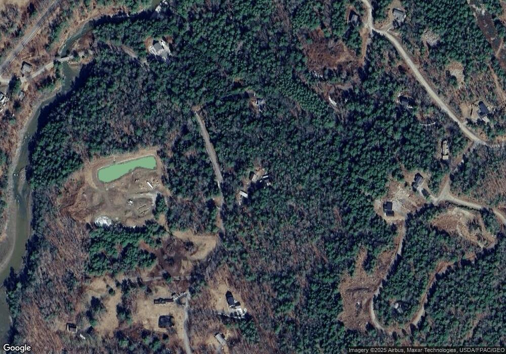
Map
Nearby Homes
- 105 Old Sheepscot Rd
- Lot # 0 Deer Ridge Rd
- R05-58A W Alna Rd
- 3 Langdon Rd
- 22 Sand Hill Rd
- 48 Us Route 1
- 8 Foye Rd
- 10 Foye Rd
- 306 Eddy Rd Unit 310
- 306 Eddy Rd Unit 307
- 306 Eddy Rd Unit 309
- 11 Island Ln Unit 1
- 200 Main St
- 18 High St
- 304 Eddy Rd Unit 216
- 18 Churchill St
- 67 Village Way Unit 505
- 83 Bath Rd
- 114 Fort Rd
- 12 Micmac Dr
- 104 Clarks Point Rd
- 19 Ice Pond Ln
- 101 Clarks Point Rd
- 32 Clarks Point Rd
- 23 Ice Pond Ln
- Lot 5 Clark's Point Rd
- Lot # 5 Clarks Point Rd
- Lot 5 Clarks Point Rd
- 7 Ice Pond Rd
- 110 Clarks Point Rd
- Lot 23 Ice Pond Ln
- Lot 18 Ice Pond Ln
- Lot 17 Ice Pond Ln
- Lot 9 Ice Pond Ln
- Lot 11 River Point Rd
- Lot 4 River Point Rd
- Lot 7 River Point Rd
- Lot 3 River Point Rd
- 120 Clarks Point Rd
- Lot128-F Clarks Point Rd