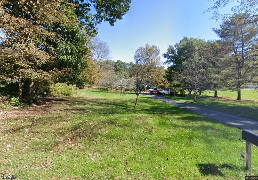
68 Common Rd Willington, CT 06279
Estimated Value: $496,000 - $602,000
3
Beds
3
Baths
2,852
Sq Ft
$196/Sq Ft
Est. Value
About This Home
This home is located at 68 Common Rd, Willington, CT 06279 and is currently estimated at $558,401, approximately $195 per square foot. 68 Common Rd is a home located in Tolland County with nearby schools including Center Elementary School, Hall Memorial School, and E.O. Smith High School.
Ownership History
Date
Name
Owned For
Owner Type
Purchase Details
Closed on
Mar 28, 2008
Sold by
Fnma
Bought by
Beale William G and Beale Rachel Eg
Current Estimated Value
Home Financials for this Owner
Home Financials are based on the most recent Mortgage that was taken out on this home.
Original Mortgage
$263,920
Outstanding Balance
$165,343
Interest Rate
5.76%
Mortgage Type
Purchase Money Mortgage
Estimated Equity
$393,058
Purchase Details
Closed on
Dec 19, 2005
Sold by
Hamilton Warren D
Bought by
Bruder Arthur E
Create a Home Valuation Report for This Property
The Home Valuation Report is an in-depth analysis detailing your home's value as well as a comparison with similar homes in the area
Home Values in the Area
Average Home Value in this Area
Purchase History
| Date | Buyer | Sale Price | Title Company |
|---|---|---|---|
| Beale William G | $329,900 | -- | |
| Beale William G | $329,900 | -- | |
| Bruder Arthur E | $430,000 | -- | |
| Bruder Arthur E | $430,000 | -- |
Source: Public Records
Mortgage History
| Date | Status | Borrower | Loan Amount |
|---|---|---|---|
| Open | Bruder Arthur E | $35,000 | |
| Open | Bruder Arthur E | $263,920 | |
| Closed | Bruder Arthur E | $263,920 |
Source: Public Records
Tax History
| Year | Tax Paid | Tax Assessment Tax Assessment Total Assessment is a certain percentage of the fair market value that is determined by local assessors to be the total taxable value of land and additions on the property. | Land | Improvement |
|---|---|---|---|---|
| 2025 | $8,896 | $349,950 | $55,440 | $294,510 |
| 2024 | $8,729 | $257,560 | $34,820 | $222,740 |
| 2023 | $8,283 | $257,560 | $34,820 | $222,740 |
| 2022 | $8,054 | $257,560 | $34,820 | $222,740 |
| 2021 | $7,724 | $257,560 | $34,820 | $222,740 |
| 2020 | $7,724 | $257,560 | $34,820 | $222,740 |
| 2019 | $7,750 | $257,560 | $34,820 | $222,740 |
| 2018 | $7,629 | $253,540 | $44,420 | $209,120 |
| 2017 | $7,629 | $253,540 | $44,420 | $209,120 |
| 2015 | $6,932 | $253,540 | $44,420 | $209,120 |
| 2014 | $6,932 | $253,540 | $44,420 | $209,120 |
Source: Public Records
Map
Nearby Homes
- 0 Jared Sparks Rd
- 415 Tolland Turnpike
- 70 Tolland Turnpike
- 0 River Rd Unit 24120753
- 22 Cisar Rd
- 21 Fermier Rd
- 131 River Rd
- 0 Tolland Stage Rd Unit 24101836
- 124 River Rd
- 0 Lohse Rd Unit map 42 block 21
- 102 Krapf Rd
- 21 Ashley Ln
- 152 Cedar Swamp Rd
- 668 Middle Turnpike
- 0 Middle Turnpike
- 167 Baxter Rd
- 159 Anthony Rd
- 1728 Stafford Rd
- 137 Anthony Rd
- 42 Grandview Cir
Your Personal Tour Guide
Ask me questions while you tour the home.