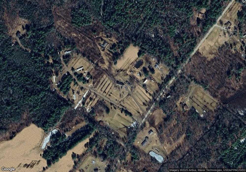
68 Devine Rd Whitefield, ME 04353
Estimated Value: $490,000 - $766,000
3
Beds
3
Baths
1,728
Sq Ft
$341/Sq Ft
Est. Value
About This Home
This home is located at 68 Devine Rd, Whitefield, ME 04353 and is currently estimated at $589,807, approximately $341 per square foot. 68 Devine Rd is a home with nearby schools including Whitefield Elementary School.
Ownership History
Date
Name
Owned For
Owner Type
Purchase Details
Closed on
Mar 20, 2017
Sold by
Wright Lucille M
Bought by
Wright Lucille M and Wright Hugh H
Current Estimated Value
Home Financials for this Owner
Home Financials are based on the most recent Mortgage that was taken out on this home.
Original Mortgage
$192,000
Interest Rate
4.19%
Mortgage Type
New Conventional
Create a Home Valuation Report for This Property
The Home Valuation Report is an in-depth analysis detailing your home's value as well as a comparison with similar homes in the area
Home Values in the Area
Average Home Value in this Area
Purchase History
| Date | Buyer | Sale Price | Title Company |
|---|---|---|---|
| Wright Lucille M | -- | -- | |
| Wright Lucille M | -- | -- |
Source: Public Records
Mortgage History
| Date | Status | Borrower | Loan Amount |
|---|---|---|---|
| Closed | Wright Lucille M | $192,000 |
Source: Public Records
Tax History Compared to Growth
Tax History
| Year | Tax Paid | Tax Assessment Tax Assessment Total Assessment is a certain percentage of the fair market value that is determined by local assessors to be the total taxable value of land and additions on the property. | Land | Improvement |
|---|---|---|---|---|
| 2025 | $5,259 | $514,100 | $127,000 | $387,100 |
| 2024 | $5,177 | $514,100 | $127,000 | $387,100 |
| 2023 | $3,775 | $235,941 | $139,850 | $96,091 |
| 2022 | $4,126 | $246,770 | $150,679 | $96,091 |
| 2020 | $4,521 | $288,311 | $192,220 | $96,091 |
| 2019 | $4,498 | $286,663 | $192,220 | $94,443 |
| 2018 | $4,303 | $286,663 | $192,220 | $94,443 |
| 2017 | $3,956 | $286,663 | $192,220 | $94,443 |
| 2016 | $4,300 | $286,663 | $192,220 | $94,443 |
| 2015 | $3,784 | $257,413 | $162,970 | $94,443 |
| 2014 | $3,635 | $255,103 | $162,970 | $92,133 |
| 2013 | $3,890 | $255,103 | $162,970 | $92,133 |
Source: Public Records
Map
Nearby Homes
- 90 Gardiner Rd
- 24 Stone House Ct
- 176 Vigue Rd
- 428 Townhouse Rd
- 214 Augusta Rockland Rd
- 10 Ridge Rd
- 168 Main St
- 18 Jacks Ln
- 760 Whitefield Rd
- 1186 Eastern Ave
- 73 Hodsdon Ln
- 815 Augusta Rd
- 132 Wellman Rd
- 24 Penny Ln
- Lot 17 Allenwood Park Rd
- 78 Hillcrest Drive Extension
- 11 Outlet Rd
- 295 Coopers Mills Rd
- 42 Stoney Acres Rd
- 0 Rt 194
