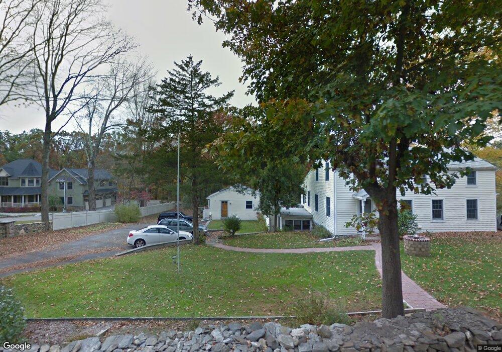
68 Dingee Rd Unit A Pound Ridge, NY 10576
Estimated Value: $751,000 - $1,097,000
2
Beds
2
Baths
2,914
Sq Ft
$309/Sq Ft
Est. Value
About This Home
This home is located at 68 Dingee Rd Unit A, Pound Ridge, NY 10576 and is currently estimated at $900,617, approximately $309 per square foot. 68 Dingee Rd Unit A is a home located in Westchester County with nearby schools including Meadow Pond Elementary School, John Jay Middle School, and John Jay High School.
Ownership History
Date
Name
Owned For
Owner Type
Purchase Details
Closed on
Apr 7, 1997
Sold by
Jennings Dolly B and Coutermash Ann
Bought by
Coutermash Aaron Shawn
Current Estimated Value
Create a Home Valuation Report for This Property
The Home Valuation Report is an in-depth analysis detailing your home's value as well as a comparison with similar homes in the area
Home Values in the Area
Average Home Value in this Area
Purchase History
| Date | Buyer | Sale Price | Title Company |
|---|---|---|---|
| Coutermash Aaron Shawn | -- | -- |
Source: Public Records
Tax History Compared to Growth
Tax History
| Year | Tax Paid | Tax Assessment Tax Assessment Total Assessment is a certain percentage of the fair market value that is determined by local assessors to be the total taxable value of land and additions on the property. | Land | Improvement |
|---|---|---|---|---|
| 2024 | $12,731 | $83,000 | $20,000 | $63,000 |
| 2023 | $12,403 | $83,000 | $20,000 | $63,000 |
| 2022 | $11,913 | $83,000 | $20,000 | $63,000 |
| 2021 | $12,104 | $83,000 | $20,000 | $63,000 |
| 2020 | $12,157 | $83,000 | $20,000 | $63,000 |
| 2019 | $11,709 | $83,000 | $20,000 | $63,000 |
| 2018 | $5,395 | $58,000 | $12,000 | $46,000 |
| 2017 | $0 | $58,000 | $12,000 | $46,000 |
| 2016 | $8,365 | $58,000 | $12,000 | $46,000 |
| 2015 | -- | $58,000 | $12,000 | $46,000 |
| 2014 | -- | $58,000 | $12,000 | $46,000 |
| 2013 | -- | $58,000 | $12,000 | $46,000 |
Source: Public Records
Map
Nearby Homes
- 46 Ridgefield Ave
- 127 Boutonville Rd
- 93 Cross Pond Rd
- 0 Laurie Ln Unit KEYH6322888
- 00 Scofield Rd
- 8 Hemlock Rd
- 41 Ebenezer Ln
- 64 Ridgeland Rd
- 45 Pine Hill Dr
- 12 Bishop Park Rd
- 30 Knapp Rd
- 61 Mill River Rd
- 19 Ledgewood Ln
- 230 Spring St
- 1203 Old Post Rd
- 145 Smith Ridge Rd
- 1196 Route 35
- 26 Elmwood Rd
- 100 Salem Rd
- 33 Truesdale Lake Dr