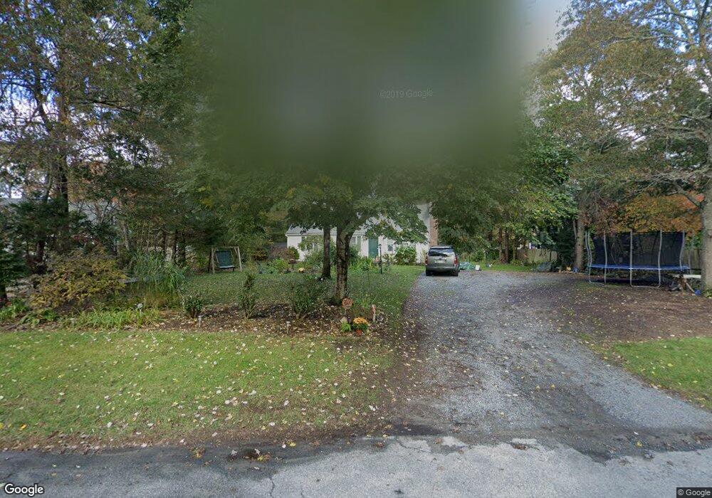
68 Dolar Davis Rd Centerville, MA 02632
Centerville NeighborhoodEstimated Value: $567,772 - $654,000
3
Beds
2
Baths
1,001
Sq Ft
$620/Sq Ft
Est. Value
About This Home
This home is located at 68 Dolar Davis Rd, Centerville, MA 02632 and is currently estimated at $620,693, approximately $620 per square foot. 68 Dolar Davis Rd is a home located in Barnstable County with nearby schools including West Villages Elementary School, Barnstable United Elementary School, and Barnstable Intermediate School.
Ownership History
Date
Name
Owned For
Owner Type
Purchase Details
Closed on
Mar 22, 2016
Sold by
Pearsall Andrew A
Bought by
Pearsall Andrew A
Current Estimated Value
Purchase Details
Closed on
Oct 10, 2003
Sold by
Kelly Timothy P
Bought by
Pearsall Andrew A
Purchase Details
Closed on
Oct 8, 1993
Sold by
Wright Gerald M and Wright Jeffery J
Bought by
Kelly Timothy P
Create a Home Valuation Report for This Property
The Home Valuation Report is an in-depth analysis detailing your home's value as well as a comparison with similar homes in the area
Home Values in the Area
Average Home Value in this Area
Purchase History
| Date | Buyer | Sale Price | Title Company |
|---|---|---|---|
| Pearsall Andrew A | -- | -- | |
| Pearsall Andrew A | $281,000 | -- | |
| Kelly Timothy P | $99,900 | -- |
Source: Public Records
Mortgage History
| Date | Status | Borrower | Loan Amount |
|---|---|---|---|
| Previous Owner | Kelly Timothy P | $38,200 | |
| Previous Owner | Kelly Timothy P | $171,787 |
Source: Public Records
Tax History
| Year | Tax Paid | Tax Assessment Tax Assessment Total Assessment is a certain percentage of the fair market value that is determined by local assessors to be the total taxable value of land and additions on the property. | Land | Improvement |
|---|---|---|---|---|
| 2025 | $3,754 | $464,000 | $152,200 | $311,800 |
| 2024 | $3,571 | $457,200 | $152,200 | $305,000 |
| 2023 | $3,336 | $400,000 | $138,400 | $261,600 |
| 2022 | $3,183 | $330,200 | $102,500 | $227,700 |
| 2021 | $3,025 | $288,400 | $102,500 | $185,900 |
| 2020 | $3,160 | $288,300 | $102,500 | $185,800 |
| 2019 | $2,989 | $265,000 | $102,500 | $162,500 |
| 2018 | $2,721 | $242,500 | $107,900 | $134,600 |
| 2017 | $2,538 | $235,900 | $107,900 | $128,000 |
| 2016 | $2,580 | $236,700 | $108,700 | $128,000 |
| 2015 | $2,388 | $220,100 | $105,400 | $114,700 |
Source: Public Records
Map
Nearby Homes
- 315 Prince Hinckley Rd
- 900 Old Stage Rd
- 52 Windlass Ln
- 1115 Shootflying Hill Rd
- 169 Cedric Rd
- 352 Nye Rd
- 436 Nye Rd
- 1309 Shootflying Hill Rd
- 1309 Shootflying Hill Rd
- 51 Larch Ln
- 97 Yacht Club Rd
- 87 Foxglove Rd
- 82 Yacht Club Rd
- 73 Tern Ln
- 66 Tern Ln
- 19 Marrick Ct
- 159 Willow Run Dr
- 53 Meadow Farm Rd
- 200 Lumbert Mill Rd
- 52 Meadow Farm Rd
- 58 Dolar Davis Rd
- 225 Skunknet Rd
- 82 Dolar Davis Rd
- 95 Eben Smith Rd
- 85 Eben Smith Rd
- 73 Dolar Davis Rd
- 59 Dolar Davis Rd
- 46 Dolar Davis Rd
- 105 Eben Smith Rd
- 83 Dolar Davis Rd
- 83 Dolar Davis Rd
- 65 Eben Smith Rd
- 45 Dolar Davis Rd
- 271 Skunknet Rd
- 24 Zeno Crocker Rd
- 265 Skunknet Rd
- 232 Skunknet Rd
- 32 Dolar Davis Rd
- 98 Eben Smith Rd
- 88 Eben Smith Rd
Your Personal Tour Guide
Ask me questions while you tour the home.