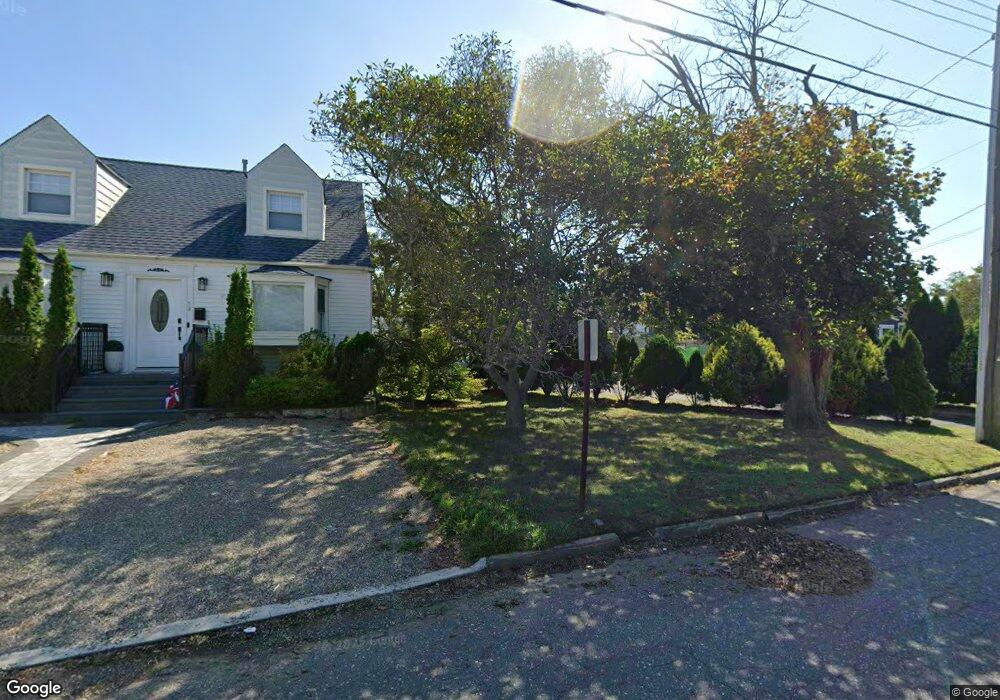
68 Dunbar Ave Long Branch, NJ 07740
Estimated Value: $760,342 - $1,127,000
5
Beds
3
Baths
2,112
Sq Ft
$433/Sq Ft
Est. Value
About This Home
This home is located at 68 Dunbar Ave, Long Branch, NJ 07740 and is currently estimated at $914,336, approximately $432 per square foot. 68 Dunbar Ave is a home located in Monmouth County with nearby schools including Long Branch High School, Holy Trinity School, and Ma'or Yeshiva High School for Boys.
Ownership History
Date
Name
Owned For
Owner Type
Purchase Details
Closed on
Dec 28, 2001
Sold by
Reagor George
Bought by
Zotti Harry and Rizzitello Tina
Current Estimated Value
Home Financials for this Owner
Home Financials are based on the most recent Mortgage that was taken out on this home.
Original Mortgage
$215,000
Interest Rate
7.01%
Mortgage Type
Commercial
Purchase Details
Closed on
Oct 18, 1999
Sold by
Tucker Larry
Bought by
Reagor George
Create a Home Valuation Report for This Property
The Home Valuation Report is an in-depth analysis detailing your home's value as well as a comparison with similar homes in the area
Home Values in the Area
Average Home Value in this Area
Purchase History
| Date | Buyer | Sale Price | Title Company |
|---|---|---|---|
| Zotti Harry | $240,000 | -- | |
| Reagor George | $145,000 | -- |
Source: Public Records
Mortgage History
| Date | Status | Borrower | Loan Amount |
|---|---|---|---|
| Previous Owner | Zotti Harry | $215,000 |
Source: Public Records
Tax History Compared to Growth
Tax History
| Year | Tax Paid | Tax Assessment Tax Assessment Total Assessment is a certain percentage of the fair market value that is determined by local assessors to be the total taxable value of land and additions on the property. | Land | Improvement |
|---|---|---|---|---|
| 2025 | $7,559 | $548,200 | $206,600 | $341,600 |
| 2024 | $7,330 | $491,800 | $166,600 | $325,200 |
| 2023 | $7,330 | $472,000 | $161,600 | $310,400 |
| 2022 | $6,762 | $415,000 | $141,600 | $273,400 |
| 2021 | $6,762 | $350,400 | $116,600 | $233,800 |
| 2020 | $6,876 | $329,000 | $96,600 | $232,400 |
| 2019 | $6,689 | $318,200 | $96,600 | $221,600 |
| 2018 | $6,393 | $302,400 | $96,600 | $205,800 |
| 2017 | $6,152 | $298,500 | $96,600 | $201,900 |
| 2016 | $5,928 | $293,300 | $96,600 | $196,700 |
| 2015 | $6,919 | $321,900 | $113,400 | $208,500 |
| 2014 | $6,638 | $326,000 | $104,800 | $221,200 |
Source: Public Records
Map
Nearby Homes
- 11 Seashore Dr
- 8 Seashore Dr
- 14 Seashore Dr
- 12 Seashore Dr
- 350 Ocean Ave Unit 306
- 350 Ocean Ave Unit 403
- 390 Ocean Blvd Unit 2901
- 390-392 Ocean Ave N Unit 1901
- 390 Ocean Ave Unit PENTHOUSE C
- 390 Ocean Ave Unit 2308
- 390 Ocean Ave Unit 2410
- 390 Ocean Ave Unit 2606
- 390 Ocean Ave Unit 2205
- 390 Ocean Ave Unit 2804
- 390 Ocean Ave Unit 2306
- 390 Ocean Ave Unit 2505
- 390 Ocean Ave Unit 2211
- 390 Ocean Ave Unit 2411
- 390 Ocean Ave Unit PENTHOUSE D
- 390 Ocean Ave Unit 2705
- 54 Dunbar Ave
- 70 Dunbar Ave
- 52 Dunbar Ave Unit A
- 52 Dunbar Ave Unit B
- 52 Dunbar Ave
- 67 Dunbar Ave
- 71 Dunbar Ave
- 50 Dunbar Ave
- 339 2nd Ave
- 61 Dunbar Ave
- 335 2nd Ave
- 315 2nd Ave
- 57 Dunbar Ave
- 313 2nd Ave
- 309 2nd Ave
- 53 Dunbar Ave
- 53 Dunbar Ave Unit 1
- 53 Dunbar Ave Unit 2
- 284 Van Pelt Place
- 284 Van Pelt Place Unit B