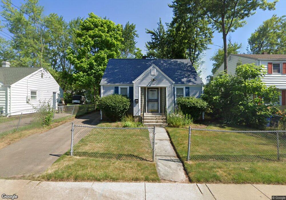
68 E Euclid St Hartford, CT 06112
Blue Hills NeighborhoodEstimated Value: $235,000 - $309,000
2
Beds
1
Bath
1,169
Sq Ft
$233/Sq Ft
Est. Value
About This Home
This home is located at 68 E Euclid St, Hartford, CT 06112 and is currently estimated at $272,039, approximately $232 per square foot. 68 E Euclid St is a home located in Hartford County with nearby schools including Rawson School, Breakthrough Magnet School - North Campus, and West Middle School.
Ownership History
Date
Name
Owned For
Owner Type
Purchase Details
Closed on
Mar 23, 1987
Sold by
Ryan Edward J
Bought by
Patrick Carla W
Current Estimated Value
Home Financials for this Owner
Home Financials are based on the most recent Mortgage that was taken out on this home.
Original Mortgage
$77,900
Interest Rate
9.02%
Mortgage Type
Purchase Money Mortgage
Create a Home Valuation Report for This Property
The Home Valuation Report is an in-depth analysis detailing your home's value as well as a comparison with similar homes in the area
Home Values in the Area
Average Home Value in this Area
Purchase History
| Date | Buyer | Sale Price | Title Company |
|---|---|---|---|
| Patrick Carla W | $78,900 | -- |
Source: Public Records
Mortgage History
| Date | Status | Borrower | Loan Amount |
|---|---|---|---|
| Closed | Patrick Carla W | $23,295 | |
| Closed | Patrick Carla W | $77,900 |
Source: Public Records
Tax History
| Year | Tax Paid | Tax Assessment Tax Assessment Total Assessment is a certain percentage of the fair market value that is determined by local assessors to be the total taxable value of land and additions on the property. | Land | Improvement |
|---|---|---|---|---|
| 2025 | $4,422 | $64,129 | $4,925 | $59,204 |
| 2024 | $4,422 | $64,129 | $4,925 | $59,204 |
| 2023 | $4,422 | $64,129 | $4,925 | $59,204 |
| 2022 | $4,422 | $64,129 | $4,925 | $59,204 |
| 2021 | $2,845 | $38,290 | $5,845 | $32,445 |
| 2020 | $2,845 | $38,290 | $5,845 | $32,445 |
| 2019 | $2,845 | $38,290 | $5,845 | $32,445 |
| 2018 | $2,749 | $36,999 | $5,648 | $31,351 |
| 2016 | $2,934 | $39,489 | $5,379 | $34,110 |
| 2015 | $2,794 | $37,614 | $5,124 | $32,490 |
| 2014 | $2,726 | $36,694 | $4,998 | $31,696 |
Source: Public Records
Map
Nearby Homes
- 97 E Burnham St
- 97 Boothbay St
- 26 Baltic St Unit 28
- 11 Pershing St Unit 13
- 35 Baltic St
- 13 Patton Rd
- 747 Blue Hills Ave
- 18 Darby St
- 200 Hartland St
- 110 Darby St
- 86 Hartland St
- 90 Manchester St
- 180 Brookline Ave
- 171 N Canaan St
- 83 Colebrook St Unit 85
- 51 Pembroke St
- 216 Cornwall St
- 166 Pembroke St
- 57 Love Ln
- 275 Westland St
- 70 E Euclid St Unit 72
- 64 E Euclid St
- 76 E Euclid St
- 60 E Euclid St
- 67 E Euclid St
- 63 E Euclid St
- 75 E Euclid St
- 67 E Morningside St
- 80 E Euclid St
- 56 E Euclid St
- 59 E Euclid St
- 79 E Euclid St
- 55 E Euclid St
- 84 E Euclid St
- 52 E Euclid St
- 71 E Morningside St
- 83 E Euclid St
- 63 E Morningside St
- 75 E Morningside St
- 59 E Morningside St
Your Personal Tour Guide
Ask me questions while you tour the home.