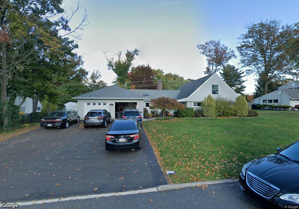
68 Forsythia Dr E Levittown, PA 19056
Forsythia Gate NeighborhoodEstimated Value: $589,817 - $666,000
4
Beds
4
Baths
3,139
Sq Ft
$197/Sq Ft
Est. Value
About This Home
This home is located at 68 Forsythia Dr E, Levittown, PA 19056 and is currently estimated at $618,954, approximately $197 per square foot. 68 Forsythia Dr E is a home located in Bucks County with nearby schools including Albert Schweitzer Elementary School, Sandburg Middle School, and Neshaminy High School.
Ownership History
Date
Name
Owned For
Owner Type
Purchase Details
Closed on
Feb 26, 2009
Sold by
Kitchenman Patrick D and Kitchenman Dara M
Bought by
Kitchenman Patrick D and Kitchenman Dara M
Current Estimated Value
Home Financials for this Owner
Home Financials are based on the most recent Mortgage that was taken out on this home.
Original Mortgage
$318,986
Outstanding Balance
$199,911
Interest Rate
4.86%
Mortgage Type
FHA
Estimated Equity
$419,043
Purchase Details
Closed on
Apr 20, 2007
Sold by
Blatt Robert and Blatt Deborah
Bought by
Kitchenman Patrick D and Chambers Dara M
Home Financials for this Owner
Home Financials are based on the most recent Mortgage that was taken out on this home.
Original Mortgage
$48,700
Interest Rate
6.18%
Mortgage Type
Credit Line Revolving
Create a Home Valuation Report for This Property
The Home Valuation Report is an in-depth analysis detailing your home's value as well as a comparison with similar homes in the area
Home Values in the Area
Average Home Value in this Area
Purchase History
| Date | Buyer | Sale Price | Title Company |
|---|---|---|---|
| Kitchenman Patrick D | -- | First American Title Ins Co | |
| Kitchenman Patrick D | $325,000 | Lawyers Title Insurance Corp |
Source: Public Records
Mortgage History
| Date | Status | Borrower | Loan Amount |
|---|---|---|---|
| Open | Kitchenman Patrick D | $318,986 | |
| Closed | Kitchenman Patrick D | $48,700 | |
| Closed | Kitchenman Patrick D | $260,000 |
Source: Public Records
Tax History Compared to Growth
Tax History
| Year | Tax Paid | Tax Assessment Tax Assessment Total Assessment is a certain percentage of the fair market value that is determined by local assessors to be the total taxable value of land and additions on the property. | Land | Improvement |
|---|---|---|---|---|
| 2025 | $7,591 | $34,870 | $6,800 | $28,070 |
| 2024 | $7,591 | $34,870 | $6,800 | $28,070 |
| 2023 | $7,471 | $34,870 | $6,800 | $28,070 |
| 2022 | $7,275 | $34,870 | $6,800 | $28,070 |
| 2021 | $7,275 | $34,870 | $6,800 | $28,070 |
| 2020 | $7,187 | $34,870 | $6,800 | $28,070 |
| 2019 | $7,027 | $34,870 | $6,800 | $28,070 |
| 2018 | $6,898 | $34,870 | $6,800 | $28,070 |
| 2017 | $6,722 | $34,870 | $6,800 | $28,070 |
| 2016 | $6,722 | $34,870 | $6,800 | $28,070 |
| 2015 | $5,972 | $30,000 | $6,800 | $23,200 |
| 2014 | $5,972 | $30,000 | $6,800 | $23,200 |
Source: Public Records
Map
Nearby Homes
- 114 Nursery Ave
- 75 Flamehill Rd
- 212 Apple St
- 88 Forsythia Dr N
- 65 Candle Rd
- 23 Crystal Place
- 53 Crestwood Rd
- 28 Rust Hill Rd
- 14 Cleft Rock Rd
- 33 Red Rose Way
- 8 Haven Rd
- 6 Handy Rd
- 479 Stanford Rd
- 14 Cinnamon Rd
- 225 Yorkshire Rd Unit HIII
- 14 Harp Rd
- 283 Snowball Dr
- 18 Harvest Rd
- 301 Snowball Dr
- 208 Suffolk Rd
- 64 Forsythia Dr E
- 74 Forsythia Dr E
- 225 Nursery Ave
- 71 Forsythia Dr E
- 65 Forsythia Dr E
- 58 Forsythia Dr E
- 75 Forsythia Dr E
- 1434 Centre St
- 61 Forsythia Dr E
- 1404 Centre St
- 1440 Centre St
- 250 Nursery Ave
- 81 Forsythia Dr E
- 48 Fruitree Rd
- 54 Fruitree Rd
- 262 Nursery Ave
- 82 Forsythia Dr E
- 44 Fruitree Rd
- 55 Forsythia Dr E
- 54 Forsythia Dr E