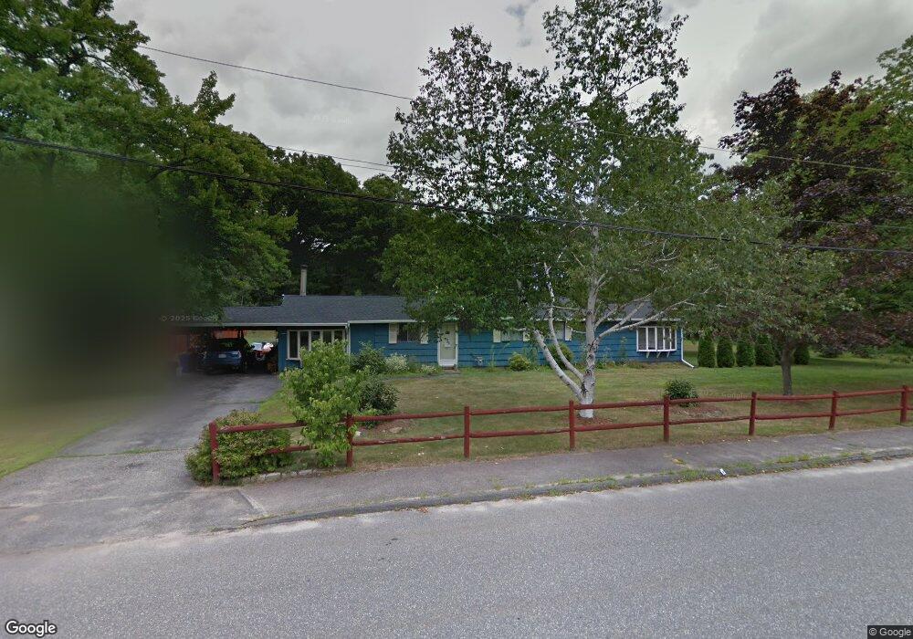
68 Harmony Ln Marlborough, MA 01752
Estimated Value: $583,000 - $661,000
4
Beds
2
Baths
1,584
Sq Ft
$382/Sq Ft
Est. Value
About This Home
This home is located at 68 Harmony Ln, Marlborough, MA 01752 and is currently estimated at $605,358, approximately $382 per square foot. 68 Harmony Ln is a home located in Middlesex County with nearby schools including Marlborough High School, New Covenant Christian School, and Glenhaven Academy - JRI School.
Ownership History
Date
Name
Owned For
Owner Type
Purchase Details
Closed on
Jun 9, 2008
Sold by
Connors John F
Bought by
Connors John F and Connors Theresa L
Current Estimated Value
Purchase Details
Closed on
Feb 11, 2005
Sold by
Connors Sarah R
Bought by
Connors John F
Home Financials for this Owner
Home Financials are based on the most recent Mortgage that was taken out on this home.
Original Mortgage
$180,920
Interest Rate
5.83%
Mortgage Type
Purchase Money Mortgage
Purchase Details
Closed on
Oct 4, 1988
Sold by
Webb Nigel E
Bought by
Connors John F
Home Financials for this Owner
Home Financials are based on the most recent Mortgage that was taken out on this home.
Original Mortgage
$115,000
Interest Rate
10.66%
Mortgage Type
Purchase Money Mortgage
Create a Home Valuation Report for This Property
The Home Valuation Report is an in-depth analysis detailing your home's value as well as a comparison with similar homes in the area
Home Values in the Area
Average Home Value in this Area
Purchase History
| Date | Buyer | Sale Price | Title Company |
|---|---|---|---|
| Connors John F | -- | -- | |
| Connors John F | $277,900 | -- | |
| Connors John F | $175,000 | -- |
Source: Public Records
Mortgage History
| Date | Status | Borrower | Loan Amount |
|---|---|---|---|
| Previous Owner | Connors John F | $180,920 | |
| Previous Owner | Connors John F | $112,500 | |
| Previous Owner | Connors John F | $115,000 |
Source: Public Records
Tax History
| Year | Tax Paid | Tax Assessment Tax Assessment Total Assessment is a certain percentage of the fair market value that is determined by local assessors to be the total taxable value of land and additions on the property. | Land | Improvement |
|---|---|---|---|---|
| 2025 | $4,829 | $489,800 | $243,300 | $246,500 |
| 2024 | $4,844 | $473,000 | $221,500 | $251,500 |
| 2023 | $4,980 | $431,500 | $192,300 | $239,200 |
| 2022 | $4,944 | $376,800 | $183,600 | $193,200 |
| 2021 | $0 | $364,200 | $154,000 | $210,200 |
| 2020 | $4,987 | $351,700 | $147,000 | $204,700 |
| 2019 | $4,892 | $347,700 | $144,400 | $203,300 |
| 2018 | $0 | $322,600 | $133,500 | $189,100 |
| 2017 | $6,204 | $301,100 | $135,700 | $165,400 |
| 2016 | $4,505 | $293,700 | $135,700 | $158,000 |
| 2015 | $4,531 | $287,500 | $139,800 | $147,700 |
Source: Public Records
Map
Nearby Homes
- 53 Grogan Path
- 492 Stow Rd
- 244 Robert Rd
- 849 Boston Post Rd E Unit 3G
- 849 Boston Post Rd E Unit 5H
- 74 Wayside Inn Rd
- 10 Westminster Dr Unit 10
- 22 Sauta Farm Way
- 54 Westminster Dr Unit 54
- 38 Airport Blvd
- 2 Ethel Ave
- 50 Mustang Ave
- 315 Dicenzo Blvd Unit 315
- 271 Boston Post Rd E Unit 7
- 111 Hager St
- 243 Boston Post Rd E Unit 11
- 62 Victoria Ln
- 14 Sonia Dr
- 181 Boston Post Rd E Unit 66
- 181 Boston Post Rd E Unit 26
Your Personal Tour Guide
Ask me questions while you tour the home.