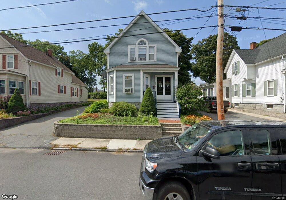
68 Humphrey St Lowell, MA 01850
Centralville NeighborhoodEstimated Value: $502,000 - $533,000
3
Beds
2
Baths
1,828
Sq Ft
$283/Sq Ft
Est. Value
About This Home
This home is located at 68 Humphrey St, Lowell, MA 01850 and is currently estimated at $518,076, approximately $283 per square foot. 68 Humphrey St is a home located in Middlesex County with nearby schools including S. Christa McAuliffe Elementary School, Greenhalge Elementary School, and Moody Elementary School.
Ownership History
Date
Name
Owned For
Owner Type
Purchase Details
Closed on
Jul 31, 1992
Sold by
Est Maclean Edith
Bought by
Merrill Scott C and Merrill Sharon
Current Estimated Value
Home Financials for this Owner
Home Financials are based on the most recent Mortgage that was taken out on this home.
Original Mortgage
$65,600
Interest Rate
8.46%
Mortgage Type
Purchase Money Mortgage
Create a Home Valuation Report for This Property
The Home Valuation Report is an in-depth analysis detailing your home's value as well as a comparison with similar homes in the area
Home Values in the Area
Average Home Value in this Area
Purchase History
| Date | Buyer | Sale Price | Title Company |
|---|---|---|---|
| Merrill Scott C | $82,000 | -- | |
| Merrill Scott C | $82,000 | -- |
Source: Public Records
Mortgage History
| Date | Status | Borrower | Loan Amount |
|---|---|---|---|
| Open | Merrill Scott C | $104,700 | |
| Closed | Merrill Scott C | $65,600 | |
| Closed | Merrill Scott C | $2,050 |
Source: Public Records
Tax History Compared to Growth
Tax History
| Year | Tax Paid | Tax Assessment Tax Assessment Total Assessment is a certain percentage of the fair market value that is determined by local assessors to be the total taxable value of land and additions on the property. | Land | Improvement |
|---|---|---|---|---|
| 2025 | $5,196 | $452,600 | $148,500 | $304,100 |
| 2024 | $5,067 | $425,400 | $138,800 | $286,600 |
| 2023 | $4,772 | $384,200 | $120,600 | $263,600 |
| 2022 | $4,490 | $353,800 | $109,700 | $244,100 |
| 2021 | $4,187 | $311,100 | $95,400 | $215,700 |
| 2020 | $3,852 | $288,300 | $83,400 | $204,900 |
| 2019 | $3,614 | $257,400 | $77,200 | $180,200 |
| 2018 | $3,534 | $245,600 | $73,600 | $172,000 |
| 2017 | $3,393 | $227,400 | $66,900 | $160,500 |
| 2016 | $3,214 | $212,000 | $65,200 | $146,800 |
| 2015 | $3,113 | $201,100 | $65,200 | $135,900 |
| 2013 | $2,927 | $195,000 | $76,300 | $118,700 |
Source: Public Records
Map
Nearby Homes
- 575 Beacon St
- 28 May St
- 44 19th St
- 18 May St
- 88 11th St
- 12 Pemberton St
- 11 View St
- 650 Robbins Ave Unit 33
- 700 Robbins Ave Unit 6
- 139 Beech St
- 4 Hazelwood Ave Unit 12
- 284 Beacon St
- 675 Robbins Ave Unit 1
- 35 Thissell Ave
- 35 W 9th St
- 108 Billings St
- 2 Sutherland St
- Lot 11 Christian St
- Lot 12 Christian St
- Lot 9 Christian St