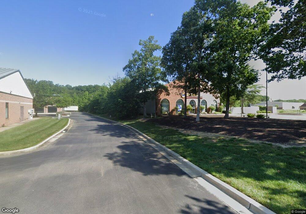
68 Industrial Park Dr Waldorf, MD 20602
Estimated Value: $1,879,206
--
Bed
--
Bath
9,464
Sq Ft
$199/Sq Ft
Est. Value
About This Home
This home is located at 68 Industrial Park Dr, Waldorf, MD 20602 and is currently estimated at $1,879,206, approximately $198 per square foot. 68 Industrial Park Dr is a home located in Charles County with nearby schools including Dr. Samuel A. Mudd Elementary School, John Hanson Middle School, and Thomas Stone High School.
Ownership History
Date
Name
Owned For
Owner Type
Purchase Details
Closed on
Sep 30, 2019
Sold by
Bowie Investments Llc
Bought by
Cheng S Property Investment Llc
Current Estimated Value
Purchase Details
Closed on
Sep 5, 2018
Sold by
Ferguson Enterprises Inc
Bought by
Bowie Investments Llc
Purchase Details
Closed on
Sep 21, 1987
Sold by
St Charles Associates
Bought by
Ferguson Enterprises Inc
Create a Home Valuation Report for This Property
The Home Valuation Report is an in-depth analysis detailing your home's value as well as a comparison with similar homes in the area
Home Values in the Area
Average Home Value in this Area
Purchase History
| Date | Buyer | Sale Price | Title Company |
|---|---|---|---|
| Cheng S Property Investment Llc | $1,300,000 | None Available | |
| Bowie Investments Llc | $1,100,000 | None Available | |
| Ferguson Enterprises Inc | $174,200 | -- |
Source: Public Records
Tax History Compared to Growth
Tax History
| Year | Tax Paid | Tax Assessment Tax Assessment Total Assessment is a certain percentage of the fair market value that is determined by local assessors to be the total taxable value of land and additions on the property. | Land | Improvement |
|---|---|---|---|---|
| 2025 | -- | $1,288,367 | -- | -- |
| 2024 | $15,747 | $1,221,500 | $441,800 | $779,700 |
| 2023 | $16,665 | $1,166,200 | $0 | $0 |
| 2022 | $14,900 | $1,110,900 | $0 | $0 |
| 2021 | $13,138 | $1,055,600 | $441,800 | $613,800 |
| 2020 | $13,138 | $978,933 | $0 | $0 |
| 2019 | $12,119 | $902,267 | $0 | $0 |
| 2018 | $10,873 | $825,600 | $441,800 | $383,800 |
| 2017 | $10,979 | $824,167 | $0 | $0 |
| 2016 | -- | $822,733 | $0 | $0 |
| 2015 | $11,501 | $1,021,300 | $0 | $0 |
| 2014 | $11,501 | $1,009,200 | $0 | $0 |
Source: Public Records
Map
Nearby Homes
- 0 Smallwood Dr Unit MDCH2031694
- 302 Barksdale Ave
- 110 Sherman Rd
- 221 Brent Rd
- 314 Rivermont Dr
- 1016 Stone Ave
- 3298 Old Washington Rd
- 137 Garner Ave
- 139 Garner Ave
- 228 Garner Ave
- 801 Roxbury Ct
- 717 Barrington Dr
- 1115 Hamlin Rd
- 307 Tompkins Ln
- 119 Jefferson Rd
- 3864 Kelly Green Place
- 1205 Adams Ct
- 4058 Bluebird Dr
- 3071 Donegal Ct
- 3893 Light Arms Place
- 70 Industrial Park Dr Unit 3E
- 70 Industrial Park Dr Unit 3G
- 70 Industrial Park Dr Unit 2B
- 70 Industrial Park Dr Unit 2A
- 70 Industrial Park Dr Unit 3J
- 70 Industrial Park Dr Unit 3C
- 70 Industrial Park Dr Unit C
- 70 Industrial Park Dr Unit 1D
- 70 Industrial Park Dr Unit 1
- 70 Industrial Park Dr Unit 2D
- 70 Industrial Park Dr Unit 3 E UPPER LEVEL
- 69 Industrial Park Dr
- 69 Industrial Park Dr Unit 6-KR
- 71 Industrial Park Dr
- 65 Industrial Park Dr
- 60 Industrial Park Dr
- 64 Industrial Park Dr
- 52 Industrial Park Dr
- 52 Industrial Park Dr Unit 4
- 52 Industrial Park Dr Unit 8