68 Kyndall Ln Forsyth, GA 31029
Estimated Value: $496,970 - $580,000
4
Beds
3
Baths
3,250
Sq Ft
$168/Sq Ft
Est. Value
About This Home
This home is located at 68 Kyndall Ln, Forsyth, GA 31029 and is currently estimated at $544,743, approximately $167 per square foot. 68 Kyndall Ln is a home located in Monroe County with nearby schools including T.G. Scott Elementary School, Mary Persons High School, and Lighthouse Academy.
Ownership History
Date
Name
Owned For
Owner Type
Purchase Details
Closed on
May 20, 2011
Sold by
First Svc Corp Of North Carolina
Bought by
Battles Larry
Current Estimated Value
Home Financials for this Owner
Home Financials are based on the most recent Mortgage that was taken out on this home.
Original Mortgage
$246,800
Outstanding Balance
$170,190
Interest Rate
4.79%
Mortgage Type
New Conventional
Estimated Equity
$374,553
Purchase Details
Closed on
Mar 31, 2011
Sold by
Rbc Bank Usa
Bought by
First Svc Corp Of North Carolina
Home Financials for this Owner
Home Financials are based on the most recent Mortgage that was taken out on this home.
Original Mortgage
$246,800
Outstanding Balance
$170,190
Interest Rate
4.79%
Mortgage Type
New Conventional
Estimated Equity
$374,553
Purchase Details
Closed on
Mar 1, 2011
Sold by
The Den Ric Corp
Bought by
Rbc Bank Usa
Create a Home Valuation Report for This Property
The Home Valuation Report is an in-depth analysis detailing your home's value as well as a comparison with similar homes in the area
Home Values in the Area
Average Home Value in this Area
Purchase History
| Date | Buyer | Sale Price | Title Company |
|---|---|---|---|
| Battles Larry | $308,500 | -- | |
| Battles Larry | $308,500 | -- | |
| First Svc Corp Of North Carolina | $293,418 | -- | |
| Rbc Bank Usa | $250,000 | -- |
Source: Public Records
Mortgage History
| Date | Status | Borrower | Loan Amount |
|---|---|---|---|
| Open | Battles Larry | $246,800 | |
| Closed | Rbc Bank Usa | $246,800 |
Source: Public Records
Tax History Compared to Growth
Tax History
| Year | Tax Paid | Tax Assessment Tax Assessment Total Assessment is a certain percentage of the fair market value that is determined by local assessors to be the total taxable value of land and additions on the property. | Land | Improvement |
|---|---|---|---|---|
| 2024 | $4,669 | $177,840 | $16,000 | $161,840 |
| 2023 | $4,480 | $150,840 | $16,000 | $134,840 |
| 2022 | $3,759 | $150,840 | $16,000 | $134,840 |
| 2021 | $3,891 | $150,840 | $16,000 | $134,840 |
| 2020 | $3,782 | $143,640 | $16,000 | $127,640 |
| 2019 | $3,581 | $135,640 | $16,000 | $119,640 |
| 2018 | $3,591 | $135,640 | $16,000 | $119,640 |
| 2017 | $3,942 | $135,640 | $16,000 | $119,640 |
| 2016 | $3,416 | $135,640 | $16,000 | $119,640 |
| 2015 | $3,240 | $135,640 | $16,000 | $119,640 |
| 2014 | $3,126 | $135,640 | $16,000 | $119,640 |
Source: Public Records
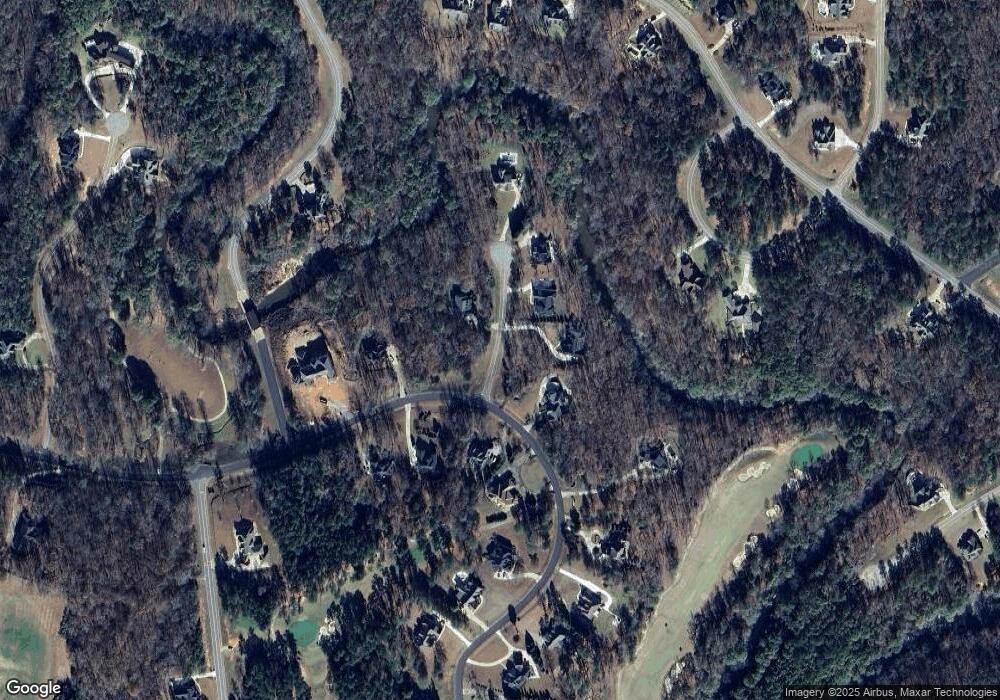
Map
Nearby Homes
- 34 Kyndall Ln
- 98 Adam Dr
- 88 Adam Dr
- 122 Laurel Ridge
- 22 Rabon Dr
- 311 Clover Pass
- 656 Dolly Dr
- 312 Clover Pass
- 131 Hawthorne Ln
- 125 Hawthorne Ln
- 155 Hawthorne Ln
- 243 Copper Crossing
- 149 Presidents Way
- 1550 Charlie Benson Rd
- 485 Mitchell Rd
- 289 Willis Wilder Dr
- 0 Montpelier Springs Rd Unit 13 M162038
- 0 Montpelier Springs Rd Unit 10 M162036
- 2022 Highway 41 N
- 299 Willis Wilder Dr