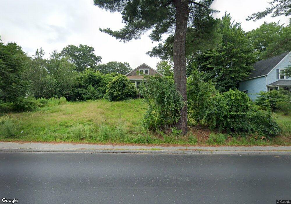
68 Main St Boylston, MA 01505
Estimated Value: $344,000 - $401,000
2
Beds
1
Bath
864
Sq Ft
$425/Sq Ft
Est. Value
About This Home
This home is located at 68 Main St, Boylston, MA 01505 and is currently estimated at $367,516, approximately $425 per square foot. 68 Main St is a home located in Worcester County with nearby schools including Tahanto Regional High School, Central New England Christian Academy, and St John's High School.
Ownership History
Date
Name
Owned For
Owner Type
Purchase Details
Closed on
Oct 28, 1999
Sold by
Neiderberger Jeff A
Bought by
Shays John M and Shays Joann
Current Estimated Value
Purchase Details
Closed on
Nov 15, 1996
Sold by
Lajeunesse Joseph and Lajeunesse Suporn
Bought by
Niederberger Jeff and Niederberger Kimberlly
Create a Home Valuation Report for This Property
The Home Valuation Report is an in-depth analysis detailing your home's value as well as a comparison with similar homes in the area
Home Values in the Area
Average Home Value in this Area
Purchase History
| Date | Buyer | Sale Price | Title Company |
|---|---|---|---|
| Shays John M | $115,000 | -- | |
| Niederberger Jeff | $94,000 | -- |
Source: Public Records
Mortgage History
| Date | Status | Borrower | Loan Amount |
|---|---|---|---|
| Open | Niederberger Jeff | $25,380 | |
| Closed | Niederberger Jeff | $14,809 |
Source: Public Records
Tax History
| Year | Tax Paid | Tax Assessment Tax Assessment Total Assessment is a certain percentage of the fair market value that is determined by local assessors to be the total taxable value of land and additions on the property. | Land | Improvement |
|---|---|---|---|---|
| 2025 | $3,326 | $240,500 | $133,200 | $107,300 |
| 2024 | $3,198 | $231,600 | $133,200 | $98,400 |
| 2023 | $3,241 | $225,100 | $141,600 | $83,500 |
| 2022 | $3,616 | $228,300 | $141,600 | $86,700 |
| 2021 | $3,753 | $221,000 | $141,600 | $79,400 |
| 2020 | $3,065 | $185,300 | $114,900 | $70,400 |
| 2019 | $2,889 | $180,100 | $112,600 | $67,500 |
| 2018 | $2,965 | $177,200 | $112,600 | $64,600 |
| 2017 | $2,856 | $177,200 | $112,600 | $64,600 |
| 2016 | $2,749 | $167,900 | $106,900 | $61,000 |
| 2015 | $2,923 | $167,900 | $106,900 | $61,000 |
| 2014 | $2,680 | $154,100 | $95,700 | $58,400 |
Source: Public Records
Map
Nearby Homes
- 2 Poe Ave Unit 1
- 4 Poe Ave Unit 1
- 5 Barnard Hill Rd
- 5 Ridge Rd
- 291 Sewall St Unit 291
- 289 Sewall St Unit 289
- 281 Sewall St Unit 281
- 279 Sewall St Unit 279
- 7 Conifer Cir Unit 7
- 230A Gulf St
- 13 Fatima Ln
- 12 Erie Ave
- 39 Bullard Ave
- 22 Huron Ave
- 655 Plantation St Unit 20B
- 3205 Halcyon Dr Unit 3205
- 58 Osceola Ave
- 2 Clover Glen Cir
- 71 Hillside Village Dr
- 69 Santoro Rd
Your Personal Tour Guide
Ask me questions while you tour the home.