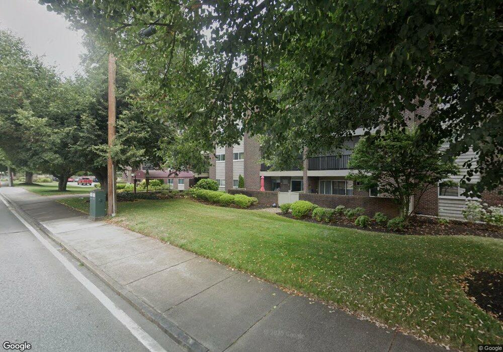
68 Main St Unit 35C Stoneham, MA 02180
Bear Hill NeighborhoodEstimated Value: $393,000 - $418,000
2
Beds
1
Bath
926
Sq Ft
$436/Sq Ft
Est. Value
About This Home
This home is located at 68 Main St Unit 35C, Stoneham, MA 02180 and is currently estimated at $403,333, approximately $435 per square foot. 68 Main St Unit 35C is a home located in Middlesex County with nearby schools including Stoneham High School, St. Patrick Elementary School, and St Joseph School.
Ownership History
Date
Name
Owned For
Owner Type
Purchase Details
Closed on
Jul 22, 2025
Sold by
Margaret T Barnett Ret and Gist
Bought by
Margaret T Gist 2025 Ret and Gist
Current Estimated Value
Purchase Details
Closed on
Dec 21, 2022
Sold by
Barnett Margaret T
Bought by
M T Barnett 2022 Ret
Purchase Details
Closed on
May 27, 1997
Sold by
Ross and Ross Mitchell S
Bought by
Barnett Margaret
Purchase Details
Closed on
Mar 21, 1997
Sold by
Hatteras T T and Hatteras Goldberg
Bought by
Ross and Ross Mitchel S
Create a Home Valuation Report for This Property
The Home Valuation Report is an in-depth analysis detailing your home's value as well as a comparison with similar homes in the area
Home Values in the Area
Average Home Value in this Area
Purchase History
| Date | Buyer | Sale Price | Title Company |
|---|---|---|---|
| Margaret T Gist 2025 Ret | -- | -- | |
| Margaret T Gist 2025 Ret | -- | -- | |
| M T Barnett 2022 Ret | -- | None Available | |
| M T Barnett 2022 Ret | -- | None Available | |
| Barnett Margaret | $83,000 | -- | |
| Barnett Margaret | $83,000 | -- | |
| Ross | $84,000 | -- | |
| Ross | $84,000 | -- |
Source: Public Records
Tax History
| Year | Tax Paid | Tax Assessment Tax Assessment Total Assessment is a certain percentage of the fair market value that is determined by local assessors to be the total taxable value of land and additions on the property. | Land | Improvement |
|---|---|---|---|---|
| 2025 | $3,567 | $348,700 | $0 | $348,700 |
| 2024 | $3,565 | $336,600 | $0 | $336,600 |
| 2023 | $3,382 | $304,700 | $0 | $304,700 |
| 2022 | $2,950 | $283,400 | $0 | $283,400 |
| 2021 | $2,971 | $274,600 | $0 | $274,600 |
| 2020 | $2,802 | $259,700 | $0 | $259,700 |
| 2019 | $2,765 | $246,400 | $0 | $246,400 |
| 2018 | $2,587 | $220,900 | $0 | $220,900 |
| 2017 | $2,340 | $188,900 | $0 | $188,900 |
| 2016 | $2,344 | $184,600 | $0 | $184,600 |
| 2015 | $2,162 | $166,800 | $0 | $166,800 |
| 2014 | $2,177 | $161,400 | $0 | $161,400 |
Source: Public Records
Map
Nearby Homes
- 68 Main St Unit 21C
- 12 Isola Ln
- 66 Main St Unit 15A
- 64 Main St Unit 24B
- 98 Main St Unit 2
- 62 High St Unit Lot 8
- 62 High St Unit 4
- 62 High St Unit Lot 5
- 62 High St Unit Lot 12
- 8 Steele St
- 159 Main St Unit 27C
- 159 Main St Unit 39A
- 10 Rodgers Rd
- 313 South St
- 1 Summit Dr Unit 57
- 403 Gazebo Cir
- 1 Alden Ave
- 2 Summit Dr Unit 43
- 1 Tremont St
- 80 Redfield Rd
- 68 Main St Unit 59C
- 68 Main St Unit 58C
- 68 Main St Unit 57C
- 68 Main St Unit 56C
- 68 Main St Unit 55C
- 68 Main St Unit 54C
- 68 Main St Unit 53C
- 68 Main St Unit 52C
- 68 Main St Unit 51C
- 68 Main St Unit 49C
- 68 Main St Unit 48C
- 68 Main St Unit 47C
- 68 Main St Unit 46C
- 68 Main St Unit 45C
- 68 Main St Unit 44C
- 68 Main St Unit 42C
- 68 Main St Unit 41C
- 68 Main St Unit 39C
- 68 Main St Unit 38C
- 68 Main St Unit 37C
Your Personal Tour Guide
Ask me questions while you tour the home.