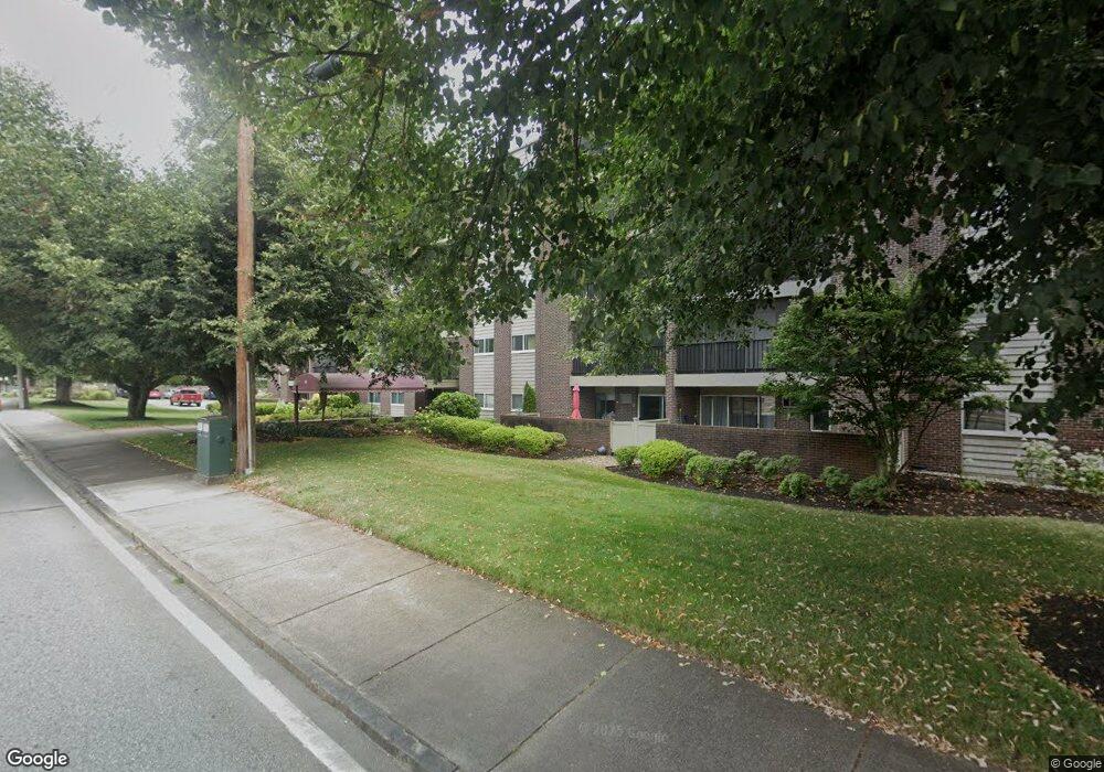
68 Main St Unit 56C Stoneham, MA 02180
Bear Hill NeighborhoodEstimated Value: $400,000 - $424,000
2
Beds
1
Bath
955
Sq Ft
$430/Sq Ft
Est. Value
About This Home
This home is located at 68 Main St Unit 56C, Stoneham, MA 02180 and is currently estimated at $410,952, approximately $430 per square foot. 68 Main St Unit 56C is a home located in Middlesex County with nearby schools including Stoneham High School, St. Patrick Elementary School, and St Joseph School.
Ownership History
Date
Name
Owned For
Owner Type
Purchase Details
Closed on
Dec 31, 1992
Sold by
New Bank Of Ne Na
Bought by
Sheehan Lesley D
Current Estimated Value
Home Financials for this Owner
Home Financials are based on the most recent Mortgage that was taken out on this home.
Original Mortgage
$42,000
Interest Rate
8.32%
Mortgage Type
Purchase Money Mortgage
Purchase Details
Closed on
Jan 15, 1992
Sold by
Wm Rt
Bought by
Bank Of New England
Create a Home Valuation Report for This Property
The Home Valuation Report is an in-depth analysis detailing your home's value as well as a comparison with similar homes in the area
Home Values in the Area
Average Home Value in this Area
Purchase History
| Date | Buyer | Sale Price | Title Company |
|---|---|---|---|
| Sheehan Lesley D | $57,000 | -- | |
| Bank Of New England | $56,800 | -- |
Source: Public Records
Mortgage History
| Date | Status | Borrower | Loan Amount |
|---|---|---|---|
| Closed | Bank Of New England | $42,000 |
Source: Public Records
Tax History
| Year | Tax Paid | Tax Assessment Tax Assessment Total Assessment is a certain percentage of the fair market value that is determined by local assessors to be the total taxable value of land and additions on the property. | Land | Improvement |
|---|---|---|---|---|
| 2025 | $3,626 | $354,400 | $0 | $354,400 |
| 2024 | $3,624 | $342,200 | $0 | $342,200 |
| 2023 | $3,439 | $309,800 | $0 | $309,800 |
| 2022 | $2,999 | $288,100 | $0 | $288,100 |
| 2021 | $3,021 | $279,200 | $0 | $279,200 |
| 2020 | $2,847 | $263,900 | $0 | $263,900 |
| 2019 | $2,811 | $250,500 | $0 | $250,500 |
| 2018 | $2,632 | $224,800 | $0 | $224,800 |
| 2017 | $2,365 | $190,900 | $0 | $190,900 |
| 2016 | $2,370 | $186,600 | $0 | $186,600 |
| 2015 | $2,184 | $168,500 | $0 | $168,500 |
| 2014 | $2,200 | $163,100 | $0 | $163,100 |
Source: Public Records
Map
Nearby Homes
- 68 Main St Unit 21C
- 12 Isola Ln
- 66 Main St Unit 15A
- 64 Main St Unit 24B
- 98 Main St Unit 2
- 62 High St Unit Lot 8
- 62 High St Unit 4
- 62 High St Unit Lot 5
- 62 High St Unit Lot 12
- 8 Steele St
- 159 Main St Unit 27C
- 159 Main St Unit 39A
- 10 Rodgers Rd
- 313 South St
- 1014 Gazebo Cir Unit 1014
- 1 Summit Dr Unit 57
- 403 Gazebo Cir
- 1 Alden Ave
- 2 Summit Dr Unit 43
- 1 Tremont St
- 68 Main St Unit 59C
- 68 Main St Unit 58C
- 68 Main St Unit 57C
- 68 Main St Unit 55C
- 68 Main St Unit 54C
- 68 Main St Unit 53C
- 68 Main St Unit 52C
- 68 Main St Unit 51C
- 68 Main St Unit 49C
- 68 Main St Unit 48C
- 68 Main St Unit 47C
- 68 Main St Unit 46C
- 68 Main St Unit 45C
- 68 Main St Unit 44C
- 68 Main St Unit 42C
- 68 Main St Unit 41C
- 68 Main St Unit 39C
- 68 Main St Unit 38C
- 68 Main St Unit 37C
- 68 Main St Unit 35C
Your Personal Tour Guide
Ask me questions while you tour the home.