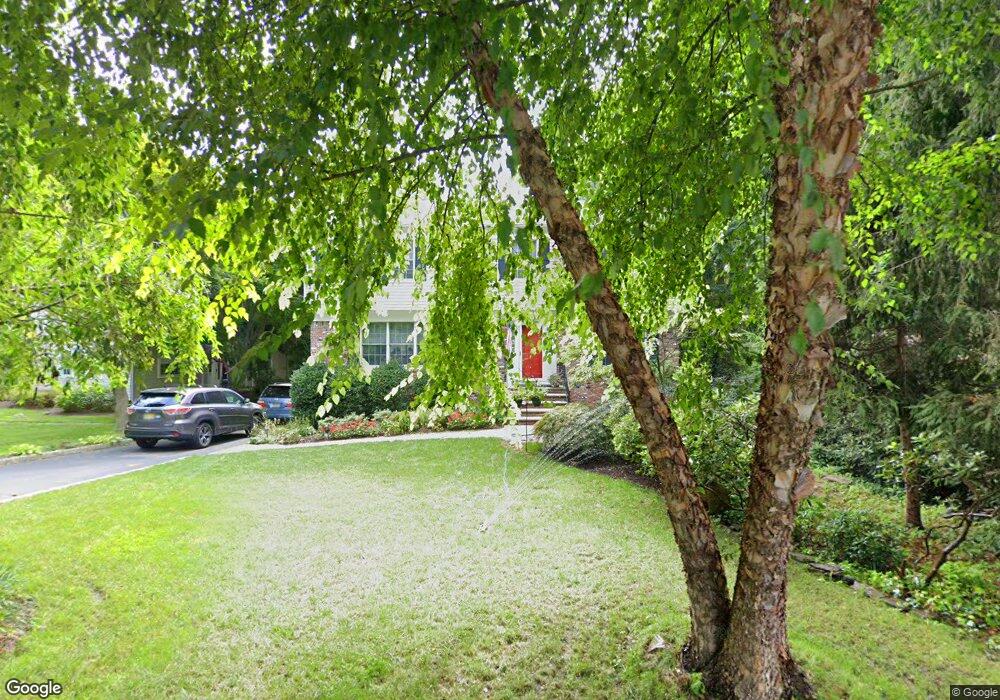
68 Malcolm Rd Mahwah, NJ 07430
Estimated Value: $781,721 - $958,000
--
Bed
--
Bath
2,268
Sq Ft
$397/Sq Ft
Est. Value
About This Home
This home is located at 68 Malcolm Rd, Mahwah, NJ 07430 and is currently estimated at $900,680, approximately $397 per square foot. 68 Malcolm Rd is a home located in Bergen County with nearby schools including Mahwah High School.
Ownership History
Date
Name
Owned For
Owner Type
Purchase Details
Closed on
Jan 24, 2023
Sold by
Peck Residence Trust
Bought by
Peck 2022 Family Trust
Current Estimated Value
Purchase Details
Closed on
Jul 13, 1994
Sold by
Weis Eri and Weis Michele
Bought by
Koenig Edward and Koenig Theresa
Home Financials for this Owner
Home Financials are based on the most recent Mortgage that was taken out on this home.
Original Mortgage
$238,000
Interest Rate
8.51%
Create a Home Valuation Report for This Property
The Home Valuation Report is an in-depth analysis detailing your home's value as well as a comparison with similar homes in the area
Home Values in the Area
Average Home Value in this Area
Purchase History
| Date | Buyer | Sale Price | Title Company |
|---|---|---|---|
| Peck 2022 Family Trust | -- | None Listed On Document | |
| Peck 2022 Family Trust | -- | None Listed On Document | |
| Koenig Edward | $340,000 | -- |
Source: Public Records
Mortgage History
| Date | Status | Borrower | Loan Amount |
|---|---|---|---|
| Previous Owner | Koenig Edward | $238,000 |
Source: Public Records
Tax History Compared to Growth
Tax History
| Year | Tax Paid | Tax Assessment Tax Assessment Total Assessment is a certain percentage of the fair market value that is determined by local assessors to be the total taxable value of land and additions on the property. | Land | Improvement |
|---|---|---|---|---|
| 2025 | $9,767 | $473,200 | $267,200 | $206,000 |
| 2024 | $9,639 | $473,200 | $267,200 | $206,000 |
| 2023 | $9,332 | $473,200 | $267,200 | $206,000 |
| 2022 | $9,332 | $473,200 | $267,200 | $206,000 |
| 2021 | $9,232 | $473,200 | $267,200 | $206,000 |
| 2020 | $9,010 | $473,200 | $267,200 | $206,000 |
| 2019 | $8,712 | $473,200 | $267,200 | $206,000 |
| 2018 | $8,589 | $473,200 | $267,200 | $206,000 |
| 2017 | $8,451 | $473,200 | $267,200 | $206,000 |
| 2016 | $8,267 | $473,200 | $267,200 | $206,000 |
| 2015 | $8,153 | $473,200 | $267,200 | $206,000 |
| 2014 | $8,016 | $473,200 | $267,200 | $206,000 |
Source: Public Records
Map
Nearby Homes
- 37 Hillside Ave
- 12 Alcott Rd
- 324 Franklin Turnpike
- 16 Gardner St
- 163 Rutherford Rd
- 13 Winter Terrace
- 66 Thunderhead Place
- 199 Island Rd
- 18 Boulder Trail
- 1248 Garrison Ct Unit E1
- 1194 Richmond Rd Unit A2
- 1415 York St
- 2120 Gunston Ct
- 2256 Margaret Ct Unit 21A
- 1114 Hyde Park Ct Unit 1114
- 111 Moffatt Rd
- 2115 Henry Ct Unit 1
- 2054 Charles Ct
- 2 Reid Ct
- 2130 Isabelle Ct