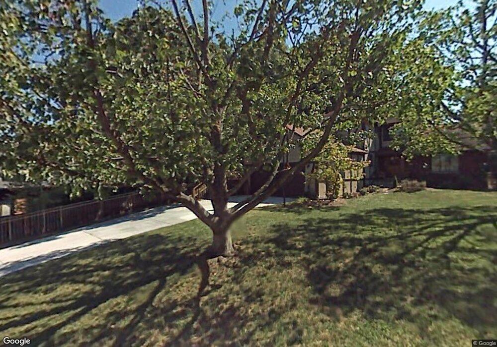
68 Mayfair Way Huntington, WV 25705
Southeast Hills NeighborhoodEstimated Value: $345,000 - $373,000
3
Beds
3
Baths
2,645
Sq Ft
$135/Sq Ft
Est. Value
About This Home
This home is located at 68 Mayfair Way, Huntington, WV 25705 and is currently estimated at $356,917, approximately $134 per square foot. 68 Mayfair Way is a home located in Cabell County with nearby schools including Explorer Academy, Huntington East Middle School, and Huntington High School.
Ownership History
Date
Name
Owned For
Owner Type
Purchase Details
Closed on
Sep 2, 2021
Sold by
Mozaffari Farid B and Nassiri Sarah S
Bought by
Hann Dustin and Hann Kristen R
Current Estimated Value
Home Financials for this Owner
Home Financials are based on the most recent Mortgage that was taken out on this home.
Original Mortgage
$27,600
Outstanding Balance
$25,114
Interest Rate
2.8%
Mortgage Type
New Conventional
Estimated Equity
$331,803
Purchase Details
Closed on
Oct 1, 2008
Sold by
Compton Rick and Compton Leigh Ann
Bought by
Mozaffari Farid B and Nassiri Sarah S
Create a Home Valuation Report for This Property
The Home Valuation Report is an in-depth analysis detailing your home's value as well as a comparison with similar homes in the area
Home Values in the Area
Average Home Value in this Area
Purchase History
| Date | Buyer | Sale Price | Title Company |
|---|---|---|---|
| Hann Dustin | $284,909 | None Available | |
| Mozaffari Farid B | $216,500 | -- |
Source: Public Records
Mortgage History
| Date | Status | Borrower | Loan Amount |
|---|---|---|---|
| Open | Hann Dustin | $27,600 |
Source: Public Records
Tax History Compared to Growth
Tax History
| Year | Tax Paid | Tax Assessment Tax Assessment Total Assessment is a certain percentage of the fair market value that is determined by local assessors to be the total taxable value of land and additions on the property. | Land | Improvement |
|---|---|---|---|---|
| 2024 | $2,781 | $163,920 | $29,520 | $134,400 |
| 2023 | $2,769 | $163,920 | $29,520 | $134,400 |
| 2022 | $2,301 | $135,120 | $29,520 | $105,600 |
| 2021 | $2,312 | $135,120 | $29,520 | $105,600 |
| 2020 | $2,026 | $122,640 | $29,520 | $93,120 |
| 2019 | $2,285 | $135,120 | $29,520 | $105,600 |
| 2018 | $2,290 | $135,120 | $29,520 | $105,600 |
| 2017 | $2,291 | $135,120 | $29,520 | $105,600 |
| 2016 | $2,288 | $135,120 | $29,520 | $105,600 |
| 2015 | $2,284 | $135,120 | $29,520 | $105,600 |
| 2014 | $2,287 | $135,120 | $29,520 | $105,600 |
Source: Public Records
Map
Nearby Homes
- 100 Stamford Park Dr
- 0 Kensington Ln
- 12 Romar Ct
- 157 Bryn Myrr Dr Unit 3356 Bryn Myrr Dr
- 970 Turner Rd
- 895 Norwood Rd
- 58 Holley Ave
- 887 Norway Ave
- Lot 13 Sandalwood Dr
- Lot 12 Sandalwood Dr
- Lot 11 Sandalwood Dr
- Lot 10 Sandalwood Dr
- 12 Marquis Dr
- 89 Belmont Dr
- 402 Forest Rd
- 234 Green Oak Dr
- 2837 Washington Blvd
- 0 Norway Ave
- 3000 Ferguson Rd
- 1778 Woodward Terrace
- 66 Mayfair Way
- 165 Stamford Park Dr
- 154 Stamford Park Dr
- 152 Stamford Park Dr
- 171 Stamford Park Dr
- 73 Mayfair Way
- 64 Mayfair Way
- 743 Oxford Dr
- 602 Oxford Dr
- 67 Mayfair Way
- 729 Oxford Dr
- 739 Oxford Dr
- 715 Oxford Dr
- 157 Stamford Park Dr
- 62 Mayfair Way
- 701 Oxford Dr
- 65 Mayfair Way
- Lot 88 Mayfair Way
- 88 Mayfair Way
- 0 Mayfair Way