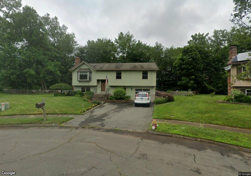
68 Melody Ln Meriden, CT 06450
Estimated Value: $347,000 - $432,000
3
Beds
1
Bath
1,900
Sq Ft
$207/Sq Ft
Est. Value
About This Home
This home is located at 68 Melody Ln, Meriden, CT 06450 and is currently estimated at $393,618, approximately $207 per square foot. 68 Melody Ln is a home located in New Haven County with nearby schools including Israel Putnam School, Washington Middle School, and Francis T. Maloney High School.
Ownership History
Date
Name
Owned For
Owner Type
Purchase Details
Closed on
Aug 4, 1995
Sold by
Celotta Joseph P
Bought by
Hickey James T and Hickey Lisa A
Current Estimated Value
Home Financials for this Owner
Home Financials are based on the most recent Mortgage that was taken out on this home.
Original Mortgage
$133,850
Interest Rate
7.25%
Mortgage Type
Unknown
Purchase Details
Closed on
Apr 16, 1990
Sold by
Moran John J
Bought by
Celotta Joseph P
Home Financials for this Owner
Home Financials are based on the most recent Mortgage that was taken out on this home.
Original Mortgage
$119,000
Interest Rate
10.13%
Create a Home Valuation Report for This Property
The Home Valuation Report is an in-depth analysis detailing your home's value as well as a comparison with similar homes in the area
Home Values in the Area
Average Home Value in this Area
Purchase History
| Date | Buyer | Sale Price | Title Company |
|---|---|---|---|
| Hickey James T | $138,000 | -- | |
| Celotta Joseph P | $149,000 | -- |
Source: Public Records
Mortgage History
| Date | Status | Borrower | Loan Amount |
|---|---|---|---|
| Open | Celotta Joseph P | $130,000 | |
| Closed | Celotta Joseph P | $125,000 | |
| Closed | Celotta Joseph P | $133,850 | |
| Previous Owner | Celotta Joseph P | $119,000 |
Source: Public Records
Tax History Compared to Growth
Tax History
| Year | Tax Paid | Tax Assessment Tax Assessment Total Assessment is a certain percentage of the fair market value that is determined by local assessors to be the total taxable value of land and additions on the property. | Land | Improvement |
|---|---|---|---|---|
| 2024 | $5,986 | $164,850 | $58,590 | $106,260 |
| 2023 | $5,735 | $164,850 | $58,590 | $106,260 |
| 2022 | $5,438 | $164,850 | $58,590 | $106,260 |
| 2021 | $5,168 | $126,490 | $48,440 | $78,050 |
| 2020 | $5,168 | $126,490 | $48,440 | $78,050 |
| 2019 | $5,168 | $126,490 | $48,440 | $78,050 |
| 2018 | $5,191 | $126,490 | $48,440 | $78,050 |
| 2017 | $5,049 | $126,490 | $48,440 | $78,050 |
| 2016 | $4,697 | $128,240 | $44,590 | $83,650 |
| 2015 | $4,697 | $128,240 | $44,590 | $83,650 |
| 2014 | $4,583 | $128,240 | $44,590 | $83,650 |
Source: Public Records
Map
Nearby Homes
- 219 S Broad St Unit N217
- 219 S Broad St Unit N205
- 86 Applewood Dr
- 1012 Old Colony Rd Unit LOT 81
- 1012 Old Colony Rd Unit LOT 54
- 1012 Old Colony Rd Unit 85
- 1012 Old Colony Rd Unit LOT 118
- 34 Meetinghouse Ridge
- 23 Davis St
- 9 Staffordshire Commons Dr
- 530 Yale Ave
- 560 Yale Ave Unit 5
- 560 Yale Ave Unit 135
- 560 Yale Ave Unit 209
- 80 Staffordshire Commons Dr
- 54 Meetinghouse Village Unit 2
- 61 Meetinghouse Village Unit 4
- 36 Broad St
- 328 Curtis St
- 136 Sterling Village Unit 136