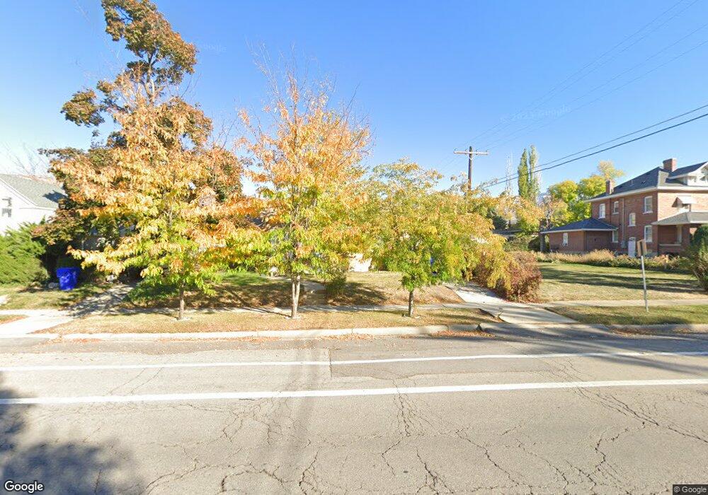
68 N 100 W Bountiful, UT 84010
Estimated Value: $454,000 - $525,000
5
Beds
2
Baths
1,221
Sq Ft
$406/Sq Ft
Est. Value
About This Home
This home is located at 68 N 100 W, Bountiful, UT 84010 and is currently estimated at $495,136, approximately $405 per square foot. 68 N 100 W is a home located in Davis County with nearby schools including Meadowbrook Elementary School, Bountiful Junior High School, and Bountiful High School.
Ownership History
Date
Name
Owned For
Owner Type
Purchase Details
Closed on
Nov 29, 2001
Sold by
Koury Todd J and Koury Geneva A
Bought by
Koury Todd James and Koury Sonia L
Current Estimated Value
Home Financials for this Owner
Home Financials are based on the most recent Mortgage that was taken out on this home.
Original Mortgage
$126,000
Interest Rate
6.67%
Create a Home Valuation Report for This Property
The Home Valuation Report is an in-depth analysis detailing your home's value as well as a comparison with similar homes in the area
Purchase History
| Date | Buyer | Sale Price | Title Company |
|---|---|---|---|
| Koury Todd James | -- | Cottonwood Title Ins Agency |
Source: Public Records
Mortgage History
| Date | Status | Borrower | Loan Amount |
|---|---|---|---|
| Closed | Koury Todd James | $126,000 |
Source: Public Records
Tax History
| Year | Tax Paid | Tax Assessment Tax Assessment Total Assessment is a certain percentage of the fair market value that is determined by local assessors to be the total taxable value of land and additions on the property. | Land | Improvement |
|---|---|---|---|---|
| 2025 | $3,136 | $249,700 | $128,836 | $120,864 |
| 2024 | $2,854 | $242,000 | $114,105 | $127,895 |
| 2023 | $2,759 | $423,000 | $210,908 | $212,092 |
| 2022 | $2,835 | $232,100 | $115,431 | $116,669 |
| 2021 | $2,360 | $325,000 | $151,027 | $173,973 |
| 2020 | $2,267 | $288,000 | $129,258 | $158,742 |
| 2019 | $2,114 | $271,000 | $138,203 | $132,797 |
| 2018 | $1,914 | $247,000 | $135,511 | $111,489 |
| 2016 | $1,558 | $106,590 | $55,716 | $50,874 |
| 2015 | $1,540 | $99,440 | $55,716 | $43,724 |
| 2014 | $1,623 | $109,119 | $55,716 | $53,403 |
| 2013 | -- | $101,191 | $37,353 | $63,838 |
Source: Public Records
Map
Nearby Homes
- 254 N Main St
- 252 N Main St
- 256 N Main St
- 51 E 200 N Unit 3
- 55 E 200 N Unit 2
- 320 N 200 W Unit 4
- 41 E 200 N Unit 6
- 75 N Peregrine Ln W Unit 8
- 49 E 200 N Unit 4
- 332 N 300 W
- 32 W 400 S
- 34 W 400 S
- 499 N 200 W Unit 30
- 399 W 400 N Unit 47
- 401 W 400 N Unit 49
- 563 N 200 W
- 93 W 700 N
- 290 N 500 W Unit 305
- 106 W 700 N
- 650 S Main St Unit 9106
Your Personal Tour Guide
Ask me questions while you tour the home.