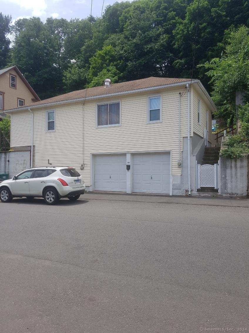
68 New St Seymour, CT 06483
Estimated payment $1,927/month
Highlights
- Deck
- Central Air
- Hot Water Heating System
- Ranch Style House
- Hot Water Circulator
- Lot Has A Rolling Slope
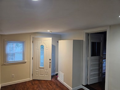
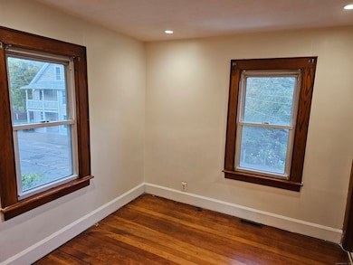
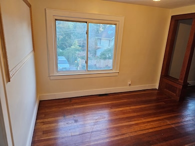
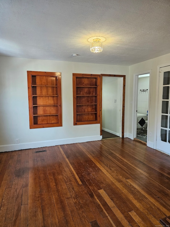
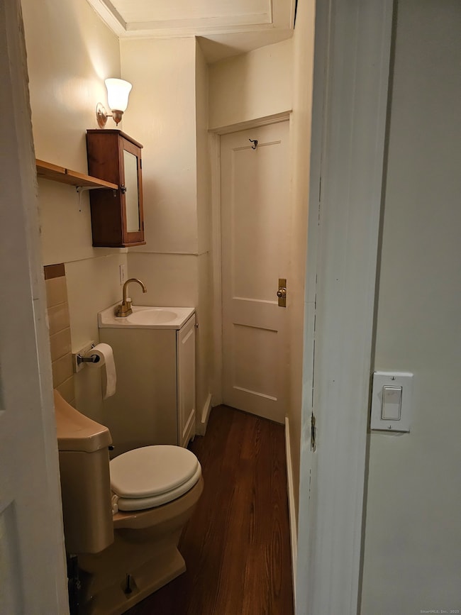
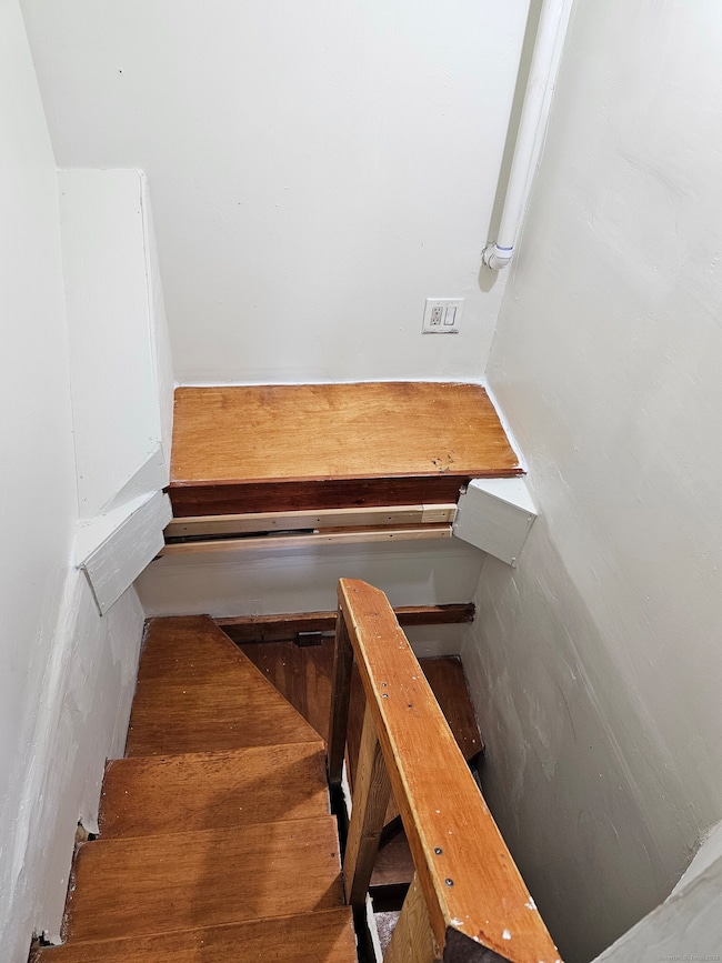
About This Home
CONVENIENT LOCATION NEAR SCHOOLS, PARKS AND SHOPPING 3-BEDROOM, 1.5 BATH RANCH. DEN IS 10X30 FT. TWO CAR GARAGE. FENCED IN BACKYARD WITH OUTSIDE SHED FOR LAWNMOWER AND YARD TOOLS. NEW CENTRAL A/C AND ROOF INSTALLED IN 2024. HARDWOOD FLOORS THROUGHOUT.
Listing Agent
DEVLIN AGENCY THE Brokerage Phone: (203) 435-3500 License #RES.0766070 Listed on: 11/13/2025
Home Details
Home Type
- Single Family
Est. Annual Taxes
- $4,816
Year Built
- Built in 1935
Lot Details
- 5,227 Sq Ft Lot
- Lot Has A Rolling Slope
- Property is zoned R-18
Parking
- Parking Deck
Home Design
- Ranch Style House
- Concrete Foundation
- Frame Construction
- Asphalt Shingled Roof
- Vinyl Siding
Interior Spaces
- 882 Sq Ft Home
- Partial Basement
Kitchen
- Electric Range
- Dishwasher
Bedrooms and Bathrooms
- 3 Bedrooms
Outdoor Features
- Deck
Schools
- Bungay Elementary School
- Seymour High School
Utilities
- Central Air
- Hot Water Heating System
- Heating System Uses Oil
- Hot Water Circulator
- Fuel Tank Located in Garage
Listing and Financial Details
- Assessor Parcel Number 1321171
Map
Home Values in the Area
Average Home Value in this Area
Tax History
| Year | Tax Paid | Tax Assessment Tax Assessment Total Assessment is a certain percentage of the fair market value that is determined by local assessors to be the total taxable value of land and additions on the property. | Land | Improvement |
|---|---|---|---|---|
| 2025 | $4,816 | $173,740 | $23,660 | $150,080 |
| 2024 | $3,427 | $93,030 | $17,780 | $75,250 |
| 2023 | $3,347 | $93,030 | $17,780 | $75,250 |
| 2022 | $3,311 | $93,030 | $17,780 | $75,250 |
| 2021 | $3,229 | $93,030 | $17,780 | $75,250 |
| 2020 | $3,044 | $84,560 | $20,860 | $63,700 |
| 2019 | $3,044 | $84,560 | $20,860 | $63,700 |
| 2018 | $3,044 | $84,560 | $20,860 | $63,700 |
| 2017 | $3,044 | $84,560 | $20,860 | $63,700 |
| 2016 | $3,044 | $84,560 | $20,860 | $63,700 |
| 2015 | $3,230 | $93,380 | $25,620 | $67,760 |
| 2014 | $3,179 | $93,380 | $25,620 | $67,760 |
Property History
| Date | Event | Price | List to Sale | Price per Sq Ft |
|---|---|---|---|---|
| 11/13/2025 11/13/25 | For Sale | $289,000 | -- | $328 / Sq Ft |
Purchase History
| Date | Type | Sale Price | Title Company |
|---|---|---|---|
| Warranty Deed | $165,500 | -- | |
| Warranty Deed | $87,000 | -- |
Mortgage History
| Date | Status | Loan Amount | Loan Type |
|---|---|---|---|
| Open | $216,750 | No Value Available | |
| Closed | $210,600 | No Value Available | |
| Closed | $59,000 | No Value Available | |
| Closed | $132,300 | No Value Available |
Source: SmartMLS
MLS Number: 24139886
APN: SEYM-001109-000000-000089
Disclaimer: Certain information contained herein is derived from information provided by parties other than Homes.com. All information provided is deemed reliable, but is not guaranteed to be accurate and should be independently verified.
![]() IDX information is provided exclusively for personal, non-commercial use, and may not be used for any purpose other than to identify prospective properties consumers may be interested in purchasing. Information is deemed reliable but not guaranteed.
IDX information is provided exclusively for personal, non-commercial use, and may not be used for any purpose other than to identify prospective properties consumers may be interested in purchasing. Information is deemed reliable but not guaranteed.
- 61 Pershing Ave
- 28 Brook St
- 26-28 S Main St
- 93 Balance Rock Rd Unit 1
- 36 Bungay Terrace
- 11 Oxford Rd
- 81 Balance Rock Rd Unit 11
- 37-14, 49-1, 79-2, 7 Balance Rock Rd
- 114 Balance Rock Rd Unit 12
- 50 Bissell Place
- 10 Kulas Terrace
- 67 Balance Rock Rd Unit 16
- 38 Sanford St
- 169 Derby Ave
- 41 Balance Rock Rd Unit 16
- 43 Balance Rock Rd Unit 9
- 9 Wooster St
- 4 Nickel Mine Dr
- 3 Hine St
- 32 Roberts St
- 122 Derby Ave Unit 3
- 79 Balance Rock Rd Unit 14
- 41 Balance Rock Rd Unit 16
- 27 Wood St
- 388 S Main St Unit 22
- 434 N Main St Unit 1st Floor
- 5 Gardners Ln Unit 1
- 400 Boulder Pass
- 445 Beaver St
- 12 Rockwood Ave Unit 2nd & 3rd floor
- 12 Rockwood Ave Unit 2nd Floor
- 55 4th St
- 10 Ells St Unit 1
- 38 Winter St
- 13 Clark Street - 1st Floor Unit 2nd Floor
- 121 N State St
- 50 Holbrook St
- 25 Holbrook St
- 27 Wilson Dr
- 87 S Main St
