68 Paul Gibson Ln Blairsville, GA 30512
Estimated Value: $291,000 - $327,000
3
Beds
2
Baths
1,152
Sq Ft
$273/Sq Ft
Est. Value
About This Home
This home is located at 68 Paul Gibson Ln, Blairsville, GA 30512 and is currently estimated at $314,215, approximately $272 per square foot. 68 Paul Gibson Ln is a home with nearby schools including Union County Primary School, Union County Elementary School, and Union County Middle School.
Ownership History
Date
Name
Owned For
Owner Type
Purchase Details
Closed on
May 5, 1988
Bought by
Phillips Pat and Phillips Susie
Current Estimated Value
Create a Home Valuation Report for This Property
The Home Valuation Report is an in-depth analysis detailing your home's value as well as a comparison with similar homes in the area
Home Values in the Area
Average Home Value in this Area
Purchase History
| Date | Buyer | Sale Price | Title Company |
|---|---|---|---|
| Phillips Pat | -- | -- |
Source: Public Records
Tax History Compared to Growth
Tax History
| Year | Tax Paid | Tax Assessment Tax Assessment Total Assessment is a certain percentage of the fair market value that is determined by local assessors to be the total taxable value of land and additions on the property. | Land | Improvement |
|---|---|---|---|---|
| 2024 | -- | $112,920 | $18,560 | $94,360 |
| 2023 | $21 | $111,560 | $18,560 | $93,000 |
| 2022 | $1,198 | $90,000 | $17,200 | $72,800 |
| 2021 | $1,195 | $75,800 | $17,200 | $58,600 |
| 2020 | $728 | $38,475 | $12,718 | $25,757 |
| 2019 | $688 | $38,475 | $12,718 | $25,757 |
| 2018 | $676 | $38,475 | $12,718 | $25,757 |
| 2017 | $676 | $38,475 | $12,718 | $25,757 |
| 2016 | -- | $38,475 | $12,718 | $25,757 |
| 2015 | -- | $38,475 | $12,718 | $25,757 |
| 2013 | -- | $29,785 | $12,718 | $17,067 |
Source: Public Records
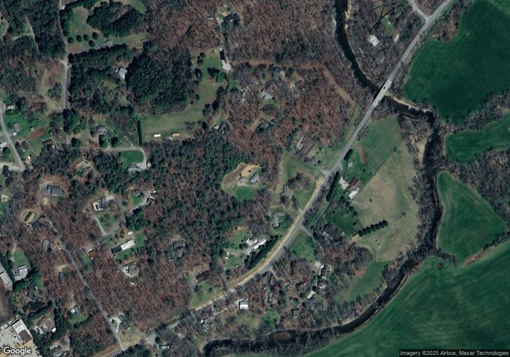
Map
Nearby Homes
- 1215 Blue Ridge Hwy
- 19 Hickory Terrace
- 436 River Rd S
- 65 Lower River View Rd
- 1593 AND 1609 Blue Ridge Hwy
- LOT 56 Bryant Cove S D
- TR7 Arbor Farm Rd Unit TRACT 7
- LT 15 Red Tail Ln
- LT 44 Hidden Harbour
- LOT 14 Mile High Ln
- 1609 Blue Ridge Hwy
- 0 Blue Ridge Hwy Unit 418722
- 0 Blue Ridge Hwy Unit A-2, C-1 10541532
- 0 Blue Ridge Hwy Unit 7596216
- 192 Brookwood Dr
- 490 Jones St
- 27 Williams Cir
- Lot 89 Thirteen Hundred
- 130 Emory Cir
- 0 Loving Dr Unit 10624678
- 33 Paul Gibson Ln
- 12 Paul Gibson Ln
- 9 Paul Gibson Ln
- 97 C H Colwell Dr
- 79 C H Colwell Dr
- 50 C H Colwell Dr
- 32 Merritt Place
- 169 C H Colwell Dr
- 191 C H Colwell Dr Unit 331
- 191 C H Colwell Dr
- LOT 4 C H Colwell Rd
- 3.47 C H Colwell Rd
- 1035 C H Colwell Rd
- 981 Blue Ridge Hwy
- 341 C H Colwell Dr
- LOT 4 C H Colwell Dr
- C C H Colwell Dr
- C C H Colwell Dr Unit 331
- 153 Thompson Ln
- 979 Blue Ridge Hwy