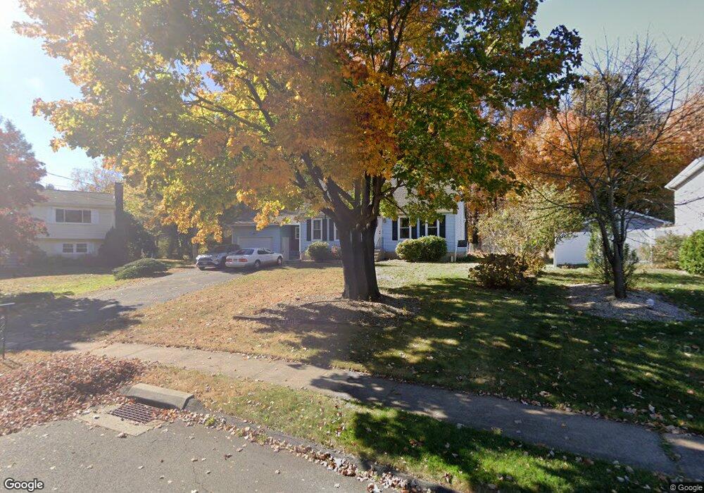
68 Pequot Rd Plainville, CT 06062
Estimated Value: $389,986 - $439,000
3
Beds
2
Baths
1,778
Sq Ft
$229/Sq Ft
Est. Value
About This Home
This home is located at 68 Pequot Rd, Plainville, CT 06062 and is currently estimated at $406,497, approximately $228 per square foot. 68 Pequot Rd is a home located in Hartford County with nearby schools including Middle School Of Plainville, Plainville High School, and Great Beginnings.
Ownership History
Date
Name
Owned For
Owner Type
Purchase Details
Closed on
Aug 19, 2003
Sold by
Stenta Mary L
Bought by
Bourlogiannis John and Bourlogiannis Maria
Current Estimated Value
Home Financials for this Owner
Home Financials are based on the most recent Mortgage that was taken out on this home.
Original Mortgage
$171,000
Interest Rate
5.46%
Create a Home Valuation Report for This Property
The Home Valuation Report is an in-depth analysis detailing your home's value as well as a comparison with similar homes in the area
Home Values in the Area
Average Home Value in this Area
Purchase History
| Date | Buyer | Sale Price | Title Company |
|---|---|---|---|
| Bourlogiannis John | $180,000 | -- | |
| Bourlogiannis John | $180,000 | -- |
Source: Public Records
Mortgage History
| Date | Status | Borrower | Loan Amount |
|---|---|---|---|
| Open | Bourlogiannis John | $240,000 | |
| Closed | Bourlogiannis John | $171,000 | |
| Previous Owner | Bourlogiannis John | $62,000 |
Source: Public Records
Tax History Compared to Growth
Tax History
| Year | Tax Paid | Tax Assessment Tax Assessment Total Assessment is a certain percentage of the fair market value that is determined by local assessors to be the total taxable value of land and additions on the property. | Land | Improvement |
|---|---|---|---|---|
| 2025 | $6,088 | $177,170 | $56,910 | $120,260 |
| 2024 | $5,783 | $177,170 | $56,910 | $120,260 |
| 2023 | $5,567 | $177,170 | $56,910 | $120,260 |
| 2022 | $5,428 | $177,170 | $56,910 | $120,260 |
| 2021 | $5,259 | $152,180 | $49,490 | $102,690 |
| 2020 | $5,268 | $152,180 | $49,490 | $102,690 |
| 2019 | $5,268 | $152,180 | $49,490 | $102,690 |
| 2018 | $5,150 | $152,180 | $49,490 | $102,690 |
| 2017 | $4,973 | $152,180 | $49,490 | $102,690 |
| 2016 | $4,790 | $149,730 | $52,570 | $97,160 |
| 2015 | $4,766 | $149,730 | $52,570 | $97,160 |
| 2014 | $5,593 | $178,220 | $51,940 | $126,280 |
Source: Public Records
Map
Nearby Homes
- 276 Cooke St
- 53 Birch Tree Rd
- 304 Cooke St
- 48 Plum Tree Rd
- 106 Pinnacle Rd
- 242 Farmington Ave
- 98 Rockwell Ave
- 97 Trumbull Ave
- 42 Cleveland St
- 135 Woodford Avenue Extension
- 17 Farmington Ave Unit 15
- 67 Forest Hills Dr
- 58 Forshaw Ave
- 20 Macarthur Rd
- 97 Dallas Ave Unit A4
- 36 View St
- 0 Lot 36 Unit 24121321
- 345 Main St
- 31 E Broad St
- 16 1/2 E Maple St