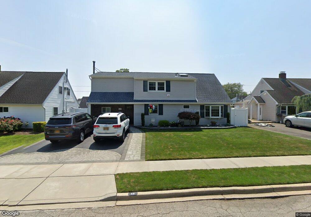
68 Polaris Dr Levittown, NY 11756
Estimated Value: $758,000 - $793,605
--
Bed
2
Baths
2,184
Sq Ft
$355/Sq Ft
Est. Value
About This Home
This home is located at 68 Polaris Dr, Levittown, NY 11756 and is currently estimated at $775,803, approximately $355 per square foot. 68 Polaris Dr is a home located in Nassau County with nearby schools including J Fred Sparke Elementary School, Michael F. Stokes Elementary School, and Island Trees Middle School.
Ownership History
Date
Name
Owned For
Owner Type
Purchase Details
Closed on
Jul 10, 2009
Sold by
Schott Stephen
Bought by
Mcgowan Michael
Current Estimated Value
Home Financials for this Owner
Home Financials are based on the most recent Mortgage that was taken out on this home.
Original Mortgage
$410,052
Outstanding Balance
$271,274
Interest Rate
5.58%
Mortgage Type
Purchase Money Mortgage
Estimated Equity
$504,529
Purchase Details
Closed on
Apr 28, 1998
Sold by
Angrisani Beverly
Bought by
Schott Stephen M and Jones Karen D
Create a Home Valuation Report for This Property
The Home Valuation Report is an in-depth analysis detailing your home's value as well as a comparison with similar homes in the area
Home Values in the Area
Average Home Value in this Area
Purchase History
| Date | Buyer | Sale Price | Title Company |
|---|---|---|---|
| Mcgowan Michael | $422,500 | -- | |
| Schott Stephen M | $155,000 | -- |
Source: Public Records
Mortgage History
| Date | Status | Borrower | Loan Amount |
|---|---|---|---|
| Open | Mcgowan Michael | $410,052 | |
| Closed | Mcgowan Michael | $410,052 |
Source: Public Records
Tax History Compared to Growth
Tax History
| Year | Tax Paid | Tax Assessment Tax Assessment Total Assessment is a certain percentage of the fair market value that is determined by local assessors to be the total taxable value of land and additions on the property. | Land | Improvement |
|---|---|---|---|---|
| 2025 | $11,315 | $463 | $196 | $267 |
| 2024 | $3,742 | $476 | $201 | $275 |
| 2023 | $9,803 | $504 | $213 | $291 |
| 2022 | $9,803 | $490 | $207 | $283 |
| 2021 | $11,521 | $486 | $206 | $280 |
| 2020 | $8,164 | $510 | $493 | $17 |
| 2019 | $7,359 | $546 | $494 | $52 |
| 2018 | $7,502 | $583 | $0 | $0 |
| 2017 | $4,541 | $619 | $498 | $121 |
| 2016 | $7,685 | $656 | $385 | $271 |
| 2015 | $3,241 | $692 | $392 | $300 |
| 2014 | $3,241 | $692 | $392 | $300 |
| 2013 | $3,876 | $900 | $528 | $372 |
Source: Public Records
Map
Nearby Homes
- 79 Constellation Rd
- 48 Bloomingdale Rd
- 34 Marksman Ln
- 41 Meridian Rd
- 37 Marksman Ln
- 125 Meridian Rd
- 4 Wagon Ln
- 12 Meridian Rd
- 94 Mallard Rd
- 6 Mason Ct
- 17 Trumpet Ln
- 190 Meridian Rd
- 1 Mason Ct
- 3520 Mallard Rd
- 7 Lowland Rd
- 142 Blacksmith Rd E
- 8 Trumpet Ln
- 16 Celestial Ln
- 22 Lowland Rd
- 111 Blacksmith Rd E
- 72 Polaris Dr
- 66 Polaris Dr
- 65 Constellation Rd
- 67 Constellation Rd
- 74 Polaris Dr
- 63 Constellation Rd
- 71 Constellation Rd
- 59 Constellation Rd
- 78 Polaris Dr
- 60 Polaris Dr
- 73 Constellation Rd
- 55 Constellation Rd
- 80 Polaris Dr
- 56 Polaris Dr
- 77 Constellation Rd
- 53 Constellation Rd
- 68 Constellation Rd
- 62 Constellation Rd
- 72 Constellation Rd
- 84 Polaris Dr