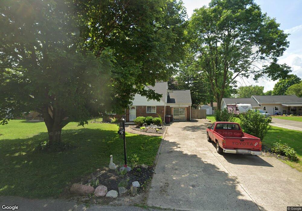
68 Poplar St Dayton, OH 45415
Estimated Value: $113,000 - $155,000
3
Beds
1
Bath
1,385
Sq Ft
$97/Sq Ft
Est. Value
About This Home
This home is located at 68 Poplar St, Dayton, OH 45415 and is currently estimated at $135,006, approximately $97 per square foot. 68 Poplar St is a home located in Montgomery County with nearby schools including Valerie Elementary School, Imagine Schools - Woodbury Academy, and Horizon Science Academy-Dayton Elementary School.
Ownership History
Date
Name
Owned For
Owner Type
Purchase Details
Closed on
Jul 22, 2021
Sold by
Nelson Deborah K and South Deborah K
Bought by
Moyer Andrew William
Current Estimated Value
Home Financials for this Owner
Home Financials are based on the most recent Mortgage that was taken out on this home.
Original Mortgage
$57,500
Outstanding Balance
$52,011
Interest Rate
2.7%
Mortgage Type
New Conventional
Estimated Equity
$82,995
Purchase Details
Closed on
Nov 12, 1996
Sold by
May Betty and Moorman Bertha Louise
Bought by
South Deborah K
Create a Home Valuation Report for This Property
The Home Valuation Report is an in-depth analysis detailing your home's value as well as a comparison with similar homes in the area
Home Values in the Area
Average Home Value in this Area
Purchase History
| Date | Buyer | Sale Price | Title Company |
|---|---|---|---|
| Moyer Andrew William | $75,000 | M&M Title Co | |
| South Deborah K | $68,000 | Landmark Title |
Source: Public Records
Mortgage History
| Date | Status | Borrower | Loan Amount |
|---|---|---|---|
| Open | Moyer Andrew William | $57,500 |
Source: Public Records
Tax History Compared to Growth
Tax History
| Year | Tax Paid | Tax Assessment Tax Assessment Total Assessment is a certain percentage of the fair market value that is determined by local assessors to be the total taxable value of land and additions on the property. | Land | Improvement |
|---|---|---|---|---|
| 2024 | $2,372 | $32,700 | $7,680 | $25,020 |
| 2023 | $2,372 | $32,700 | $7,680 | $25,020 |
| 2022 | $2,229 | $22,570 | $5,300 | $17,270 |
| 2021 | $2,220 | $22,570 | $5,300 | $17,270 |
| 2020 | $2,217 | $22,570 | $5,300 | $17,270 |
| 2019 | $2,051 | $18,730 | $4,500 | $14,230 |
| 2018 | $2,053 | $18,730 | $4,500 | $14,230 |
| 2017 | $2,041 | $18,730 | $4,500 | $14,230 |
| 2016 | $2,443 | $21,650 | $5,300 | $16,350 |
| 2015 | $2,128 | $21,650 | $5,300 | $16,350 |
| 2014 | $2,128 | $21,650 | $5,300 | $16,350 |
| 2012 | -- | $23,730 | $5,320 | $18,410 |
Source: Public Records
Map
Nearby Homes
- 488 Eastdale Dr
- 587 Eastdale Dr
- 5653 Philadelphia Dr
- 6937 N Main St
- 270 Pamela Ave
- 4763 Shaunee Creek Dr Unit 31
- 4743 Shaunee Creek Dr Unit 21
- 4624 Fayette Ct
- 350 Pamela Ave
- 4535 Lansmore Dr Unit 97
- 4601 Merrick Dr Unit 79
- 6331 Riverbend Dr
- 473 Blueridge Dr
- 5308 N Main St
- 266 Briarcliff Rd
- 3501 Piedmont Ave
- 455 Shiloh Dr
- 158 Loretta Dr
- 316 Park End Dr
- 4174 Meadowdale Dr