68 Potter Rd Wakefield, RI 02879
Estimated Value: $1,234,000 - $5,078,000
2
Beds
2
Baths
1,618
Sq Ft
$2,130/Sq Ft
Est. Value
About This Home
This home is located at 68 Potter Rd, Wakefield, RI 02879 and is currently estimated at $3,446,645, approximately $2,130 per square foot. 68 Potter Rd is a home located in Washington County with nearby schools including South Kingstown High School.
Ownership History
Date
Name
Owned For
Owner Type
Purchase Details
Closed on
Sep 4, 2024
Sold by
Riess Donna M and Riess Thomas J
Bought by
Riess Ft and Riess
Current Estimated Value
Purchase Details
Closed on
Aug 6, 2004
Sold by
Dean Joseph J and Dean Jane W
Bought by
Leonard Matthew J and Leonard Jean Marie
Create a Home Valuation Report for This Property
The Home Valuation Report is an in-depth analysis detailing your home's value as well as a comparison with similar homes in the area
Home Values in the Area
Average Home Value in this Area
Purchase History
| Date | Buyer | Sale Price | Title Company |
|---|---|---|---|
| Riess Ft | -- | None Available | |
| Riess Ft | -- | None Available | |
| Leonard Matthew J | $953,000 | -- | |
| Leonard Matthew J | $953,000 | -- |
Source: Public Records
Mortgage History
| Date | Status | Borrower | Loan Amount |
|---|---|---|---|
| Previous Owner | Leonard Matthew J | $175,000 | |
| Previous Owner | Leonard Matthew J | $417,000 | |
| Previous Owner | Leonard Matthew J | $550,000 |
Source: Public Records
Tax History
| Year | Tax Paid | Tax Assessment Tax Assessment Total Assessment is a certain percentage of the fair market value that is determined by local assessors to be the total taxable value of land and additions on the property. | Land | Improvement |
|---|---|---|---|---|
| 2025 | $33,302 | $3,725,000 | $1,280,600 | $2,444,400 |
| 2024 | $26,065 | $2,358,800 | $1,049,900 | $1,308,900 |
| 2023 | $25,907 | $2,344,500 | $1,049,900 | $1,294,600 |
| 2022 | $25,672 | $2,344,500 | $1,049,900 | $1,294,600 |
| 2021 | $23,723 | $1,641,700 | $647,000 | $994,700 |
| 2020 | $23,723 | $1,641,700 | $647,000 | $994,700 |
| 2019 | $15,090 | $1,044,300 | $647,000 | $397,300 |
| 2018 | $9,816 | $626,000 | $608,800 | $17,200 |
| 2017 | $11,395 | $744,300 | $608,800 | $135,500 |
| 2016 | $11,231 | $744,300 | $608,800 | $135,500 |
| 2015 | $10,676 | $687,900 | $553,300 | $134,600 |
| 2014 | $10,649 | $687,900 | $553,300 | $134,600 |
Source: Public Records
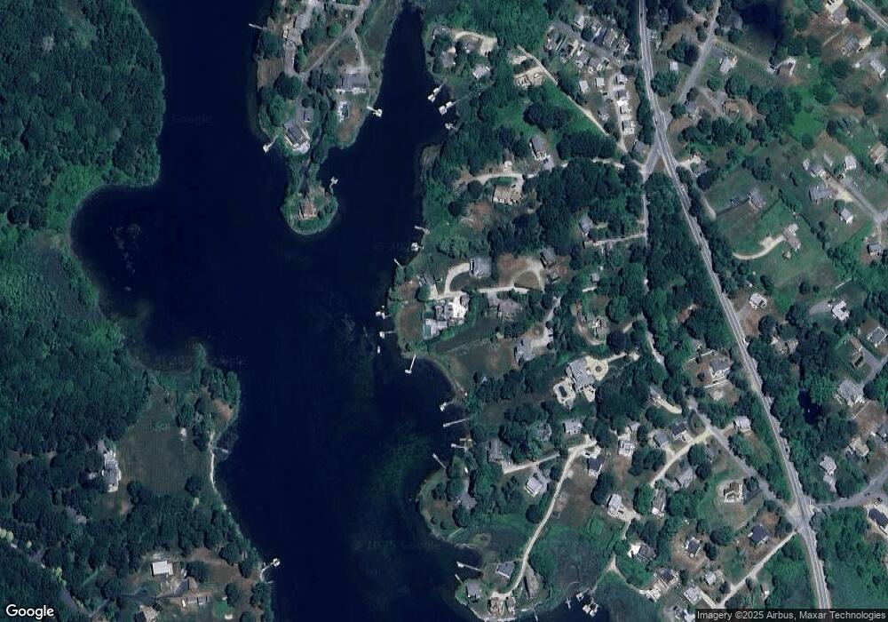
Map
Nearby Homes
- 14 E Pointe Ct Unit 14
- 210 Washington St
- 6 MacAlder St
- 1185 Succotash Rd
- 1138 Succotash Rd
- 1140 Succotash Rd
- 7 Conch Rd
- 975 Matunuck Beach Rd
- 17 Goose Island Rd
- 2321 Post Rd
- 62 Flintstone Rd
- 550 Cards Pond Rd
- 0 Hemlock Ave
- 0 Point Judith Rd
- 120 Chestnut Ave
- 62 Daytona Ave
- 60 Daytona Ave
- 262 Wood Hill Rd
- 47 Saint James Rd
- 480 Sand Plains Trail Unit D68
- 73 Potter Rd
- 55 Potter Rd
- 46 Potter Rd
- 34 Potter Rd
- 33 Potter Rd
- 93 Old Succotash Rd
- 95 Old Succotash Rd
- 153 Old Succotash Rd
- 69 Briggs Rd
- 61 Briggs Rd
- 141 Old Succotash Rd
- 19 Potter Rd
- 107 Old Succotash Rd
- 115 Old Succotash Rd
- 41 Briggs Rd
- 214 Westcote Dr
- 76 Briggs Rd
- 91 Old Succotash Rd
- 0 Potter Rd
- 56 Briggs Rd
Your Personal Tour Guide
Ask me questions while you tour the home.