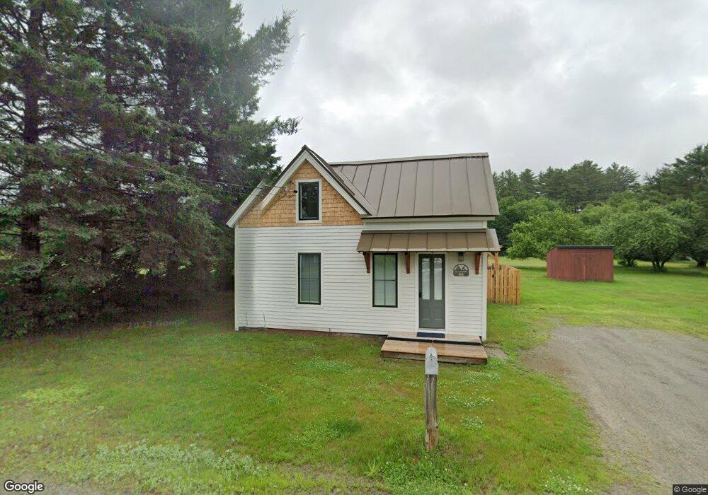
68 Riverside St Kingfield, ME 04947
Estimated Value: $151,306 - $250,000
2
Beds
2
Baths
724
Sq Ft
$251/Sq Ft
Est. Value
About This Home
This home is located at 68 Riverside St, Kingfield, ME 04947 and is currently estimated at $181,827, approximately $251 per square foot. 68 Riverside St is a home with nearby schools including Mt. Abram Regional High School.
Ownership History
Date
Name
Owned For
Owner Type
Purchase Details
Closed on
Feb 25, 2022
Sold by
Howard Maureen C
Bought by
Lane Christopher M
Current Estimated Value
Home Financials for this Owner
Home Financials are based on the most recent Mortgage that was taken out on this home.
Original Mortgage
$91,575
Outstanding Balance
$84,218
Interest Rate
3.55%
Mortgage Type
FHA
Estimated Equity
$97,609
Purchase Details
Closed on
Feb 24, 2022
Sold by
Lane Christopher M
Bought by
Hitchcock & Co Llc
Home Financials for this Owner
Home Financials are based on the most recent Mortgage that was taken out on this home.
Original Mortgage
$91,575
Outstanding Balance
$84,218
Interest Rate
3.55%
Mortgage Type
FHA
Estimated Equity
$97,609
Create a Home Valuation Report for This Property
The Home Valuation Report is an in-depth analysis detailing your home's value as well as a comparison with similar homes in the area
Purchase History
| Date | Buyer | Sale Price | Title Company |
|---|---|---|---|
| Lane Christopher M | $120,000 | None Available | |
| Hitchcock & Co Llc | $45,000 | None Available |
Source: Public Records
Mortgage History
| Date | Status | Borrower | Loan Amount |
|---|---|---|---|
| Open | Lane Christopher M | $91,575 |
Source: Public Records
Tax History
| Year | Tax Paid | Tax Assessment Tax Assessment Total Assessment is a certain percentage of the fair market value that is determined by local assessors to be the total taxable value of land and additions on the property. | Land | Improvement |
|---|---|---|---|---|
| 2024 | $1,805 | $93,755 | $11,485 | $82,270 |
| 2023 | $852 | $47,358 | $11,486 | $35,872 |
| 2022 | $729 | $36,429 | $8,835 | $27,594 |
| 2021 | $710 | $36,429 | $8,835 | $27,594 |
| 2020 | $674 | $36,429 | $8,835 | $27,594 |
| 2019 | $674 | $36,439 | $8,835 | $27,604 |
| 2018 | $876 | $36,439 | $8,835 | $27,604 |
| 2017 | $619 | $36,439 | $8,835 | $27,604 |
| 2016 | $622 | $36,616 | $9,012 | $27,604 |
| 2015 | $638 | $36,449 | $8,835 | $27,614 |
| 2014 | $638 | $36,449 | $8,835 | $27,614 |
Source: Public Records
Map
Nearby Homes
- 12 Depot St
- 7 W Branch St
- 73 Middlegate Ln
- 377 Main St
- 23 Olde Parkway Rd
- 174 W Kingfield Rd
- 5,10,11 Country Ln
- 5-01-06 Sunset (Eagle Ridge) Ln
- 1 Tellis Rd
- Lot 9 Final Dr
- 25-2 Sunset (Eagle Ridge) Ln
- 54 Wahl Rd
- 26 Christen Rd
- Lot 2-1 Lower Vose Rd
- Lot #20 Hollis Drive (Eagle Ridge) Rd
- Lot 7 Hollis Dr
- 1124 Middle Rd
- 28 Adrian's Way
- 6 High Ground Rd
- 5 High Ground Rd
- 75 Riverside St
- 53 Riverside St
- 76 Riverside St
- 54 Riverside St
- 45 Riverside St
- 24 Riverside St
- 118 Riverside St
- 37 Riverside St
- 19 Riverside St
- 16 Riverside St
- 111 Lexington Rd
- 103 Lexington Rd
- 185 Main St
- 6 Riverside St
- TBD Lexington Rd
- 128 Riverside St
- 9 Riverside St
- 31 Carrabassett Rd
- 27 Main St
- 123 Main St
Your Personal Tour Guide
Ask me questions while you tour the home.