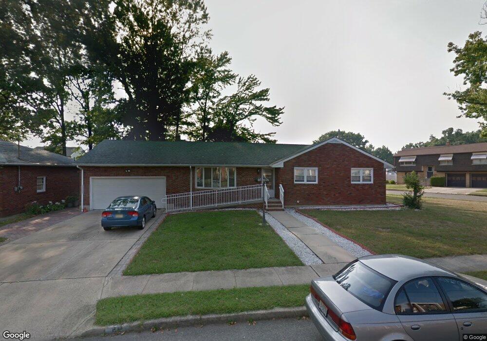
68 Rubin St South River, NJ 08882
Estimated Value: $529,000 - $658,592
4
Beds
4
Baths
1,868
Sq Ft
$322/Sq Ft
Est. Value
About This Home
This home is located at 68 Rubin St, South River, NJ 08882 and is currently estimated at $602,398, approximately $322 per square foot. 68 Rubin St is a home located in Middlesex County with nearby schools including South River Primary School, South River Elementary School, and South River Middle School.
Ownership History
Date
Name
Owned For
Owner Type
Purchase Details
Closed on
Jul 15, 2009
Sold by
Neely Peter and Neely Doreen S
Bought by
68 Rubin Llc
Current Estimated Value
Purchase Details
Closed on
Oct 14, 2005
Sold by
Tonnini Crisnilda
Bought by
Nelley Peter
Home Financials for this Owner
Home Financials are based on the most recent Mortgage that was taken out on this home.
Original Mortgage
$378,000
Interest Rate
8.99%
Mortgage Type
Adjustable Rate Mortgage/ARM
Purchase Details
Closed on
Mar 4, 2004
Sold by
Tonnini Claudio
Bought by
Tonnini Crisnilda
Create a Home Valuation Report for This Property
The Home Valuation Report is an in-depth analysis detailing your home's value as well as a comparison with similar homes in the area
Home Values in the Area
Average Home Value in this Area
Purchase History
| Date | Buyer | Sale Price | Title Company |
|---|---|---|---|
| 68 Rubin Llc | $224,049 | None Available | |
| Nelley Peter | $420,000 | -- | |
| Tonnini Crisnilda | -- | -- |
Source: Public Records
Mortgage History
| Date | Status | Borrower | Loan Amount |
|---|---|---|---|
| Previous Owner | Nelley Peter | $378,000 |
Source: Public Records
Tax History Compared to Growth
Tax History
| Year | Tax Paid | Tax Assessment Tax Assessment Total Assessment is a certain percentage of the fair market value that is determined by local assessors to be the total taxable value of land and additions on the property. | Land | Improvement |
|---|---|---|---|---|
| 2025 | $9,645 | $378,700 | $157,900 | $220,800 |
| 2024 | $9,358 | $378,700 | $157,900 | $220,800 |
| 2023 | $9,358 | $378,700 | $157,900 | $220,800 |
| 2022 | $9,195 | $378,700 | $157,900 | $220,800 |
| 2021 | $6,239 | $378,700 | $157,900 | $220,800 |
| 2020 | $8,661 | $378,700 | $157,900 | $220,800 |
| 2019 | $8,987 | $109,100 | $28,900 | $80,200 |
| 2018 | $8,771 | $109,100 | $28,900 | $80,200 |
| 2017 | $8,450 | $109,100 | $28,900 | $80,200 |
| 2016 | $8,130 | $109,100 | $28,900 | $80,200 |
| 2015 | $7,948 | $109,100 | $28,900 | $80,200 |
| 2014 | $7,766 | $109,100 | $28,900 | $80,200 |
Source: Public Records
Map
Nearby Homes
- 223 Prospect St
- 29 Phillip St
- 15 Parker St
- 393 Carhart Ct Unit 393
- 393 Carhart Ct
- 19 Cleveland Ave
- 353 Crosspointe Dr
- 331 Cozzens Ct
- 20 Cleveland Ave
- 20 Watts St
- 151 Longfield Ct
- 12 Clinton St
- 96 Longfield Ct
- 104 George St
- 13 Garwood St
- 17 Lake Ave Unit 2B
- 77 Wilcox Ave
- 23 Serviss Ave
- 19 Wilcox Ave
- 150 Main St