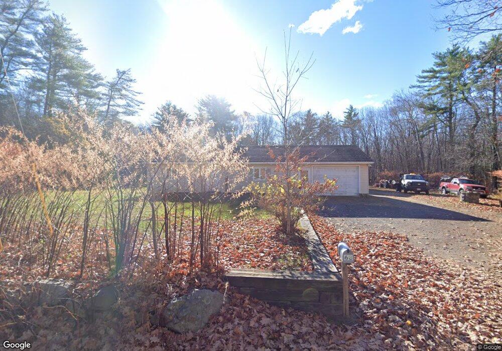
68 Seabrook Rd Salisbury, MA 01952
Estimated Value: $513,000 - $588,198
1
Bed
1
Bath
1,040
Sq Ft
$513/Sq Ft
Est. Value
About This Home
This home is located at 68 Seabrook Rd, Salisbury, MA 01952 and is currently estimated at $533,300, approximately $512 per square foot. 68 Seabrook Rd is a home located in Essex County with nearby schools including Triton Regional High School and River Valley Charter School.
Ownership History
Date
Name
Owned For
Owner Type
Purchase Details
Closed on
Sep 24, 2010
Sold by
322 Seabrook Road Rt and Dougherty Robin L
Bought by
Washburn Greg R and Bill Karen
Current Estimated Value
Home Financials for this Owner
Home Financials are based on the most recent Mortgage that was taken out on this home.
Original Mortgage
$182,541
Outstanding Balance
$120,904
Interest Rate
4.5%
Mortgage Type
FHA
Estimated Equity
$412,396
Purchase Details
Closed on
Jul 16, 2010
Sold by
Greaney Barbara E
Bought by
Dougherty Tr Robin L and Sargent Brian D
Create a Home Valuation Report for This Property
The Home Valuation Report is an in-depth analysis detailing your home's value as well as a comparison with similar homes in the area
Home Values in the Area
Average Home Value in this Area
Purchase History
| Date | Buyer | Sale Price | Title Company |
|---|---|---|---|
| Washburn Greg R | $185,000 | -- | |
| Dougherty Tr Robin L | -- | -- |
Source: Public Records
Mortgage History
| Date | Status | Borrower | Loan Amount |
|---|---|---|---|
| Open | Dougherty Tr Robin L | $182,541 |
Source: Public Records
Tax History
| Year | Tax Paid | Tax Assessment Tax Assessment Total Assessment is a certain percentage of the fair market value that is determined by local assessors to be the total taxable value of land and additions on the property. | Land | Improvement |
|---|---|---|---|---|
| 2025 | $4,322 | $428,800 | $161,900 | $266,900 |
| 2024 | $4,339 | $415,200 | $161,900 | $253,300 |
| 2023 | $4,231 | $391,800 | $161,900 | $229,900 |
| 2022 | $4,201 | $377,100 | $147,200 | $229,900 |
| 2021 | $4,137 | $367,400 | $147,200 | $220,200 |
| 2020 | $3,837 | $334,800 | $148,900 | $185,900 |
| 2019 | $3,812 | $321,400 | $148,900 | $172,500 |
| 2018 | $3,728 | $316,500 | $148,900 | $167,600 |
| 2017 | $3,446 | $289,100 | $127,700 | $161,400 |
| 2016 | $3,359 | $287,800 | $121,300 | $166,500 |
| 2015 | $3,178 | $270,500 | $121,300 | $149,200 |
Source: Public Records
Map
Nearby Homes
- 64 Seabrook Rd
- 44 Seabrook Rd
- 10 Caitlin Cir Unit B
- 6 Mason Ln
- 100 Forest Rd
- 84 Forest Rd
- 14 Seabrook Rd
- 42 Kendell Ln
- 176 Lower Collins St
- 308 Route 286 Unit Lot 58
- 154 Lafayette Rd
- 35 Brooks Rd Unit 1
- 69 Nashville St
- 188 Lafayette Rd
- 241 & 245 Lafayette Rd
- 135 Beach Rd Unit B114
- 127 Beach Rd
- 25 Bayberry Ln
- 7 Toll Rd
- 2 Old County Rd Unit 13
- 70 Seabrook Rd
- 62 Seabrook Rd
- 74 Seabrook Rd
- 72 Seabrook Rd
- 60 Seabrook Rd
- 59 Seabrook Rd
- Lot 87 308 State Rd
- Lot 91 308 State Rd
- 57 Seabrook Rd
- 56 Seabrook Rd
- 71 Seabrook Rd
- 78 Seabrook Rd
- 55 Seabrook Rd
- 54 Seabrook Rd
- 12 Patridge Ln Unit A
- 77 Seabrook Rd
- 66 Worthley Ave
- 2 Patriot Way
- 1 & 1A Phoenix Way
- 1 Phoenix Way