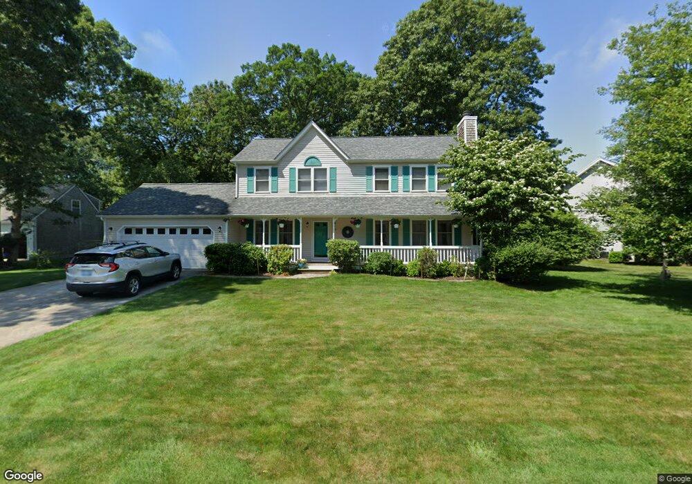
68 Secluded Dr Narragansett, RI 02882
Estimated Value: $877,508 - $981,000
3
Beds
3
Baths
1,920
Sq Ft
$474/Sq Ft
Est. Value
About This Home
This home is located at 68 Secluded Dr, Narragansett, RI 02882 and is currently estimated at $909,127, approximately $473 per square foot. 68 Secluded Dr is a home located in Washington County with nearby schools including Narragansett Elementary School, Narragansett Pier Middle School, and Narragansett High School.
Ownership History
Date
Name
Owned For
Owner Type
Purchase Details
Closed on
Aug 28, 2024
Sold by
Pistacchio David J and Pistacchio Doreen M
Bought by
Pistacchio Family Lt and Pistacchio
Current Estimated Value
Create a Home Valuation Report for This Property
The Home Valuation Report is an in-depth analysis detailing your home's value as well as a comparison with similar homes in the area
Home Values in the Area
Average Home Value in this Area
Purchase History
| Date | Buyer | Sale Price | Title Company |
|---|---|---|---|
| Pistacchio Family Lt | -- | None Available | |
| Pistacchio Family Lt | -- | None Available |
Source: Public Records
Mortgage History
| Date | Status | Borrower | Loan Amount |
|---|---|---|---|
| Previous Owner | Pistacchio David | $30,000 | |
| Previous Owner | Hilliard Dennis C | $105,000 | |
| Previous Owner | Hilliard Dennis C | $159,500 | |
| Previous Owner | Hilliard Dennis C | $125,000 |
Source: Public Records
Tax History Compared to Growth
Tax History
| Year | Tax Paid | Tax Assessment Tax Assessment Total Assessment is a certain percentage of the fair market value that is determined by local assessors to be the total taxable value of land and additions on the property. | Land | Improvement |
|---|---|---|---|---|
| 2025 | $5,068 | $746,400 | $262,400 | $484,000 |
| 2024 | $4,889 | $746,400 | $262,400 | $484,000 |
| 2023 | $4,454 | $478,400 | $165,000 | $313,400 |
| 2022 | $4,306 | $478,400 | $165,000 | $313,400 |
| 2021 | $4,239 | $478,400 | $165,000 | $313,400 |
| 2020 | $4,113 | $392,500 | $139,000 | $253,500 |
| 2019 | $4,015 | $392,500 | $139,000 | $253,500 |
| 2018 | $3,905 | $392,500 | $139,000 | $253,500 |
| 2017 | $3,834 | $363,100 | $142,800 | $220,300 |
| 2016 | $3,660 | $363,100 | $142,800 | $220,300 |
| 2015 | $3,609 | $363,100 | $142,800 | $220,300 |
| 2014 | $3,258 | $324,500 | $119,000 | $205,500 |
Source: Public Records
Map
Nearby Homes
- 19 Leeann Dr
- 727 Boston Neck Rd
- 135 Cliff Dr
- 11 Tupelo Trail
- 0 S River Dr
- 46 S River Dr
- 7 Leatherleaf Rd
- 275 Boston Neck Rd
- 175 Bonnet Point Rd Unit K13
- 121 Spice Bush Trail
- 0 Betty Dr
- 80 Old Pine Rd
- 19 Castle Rd
- 74 Bayberry Rd
- 991 Middlebridge Rd
- 264 Colonel John Gardner Rd
- 51 Bonnet Shores Rd
- 53 Bonnet Shores Rd
- 0 Johnny Cake Trail Trail S Unit 1391340
- 0 Indian Trail Trail S Unit 1389828
- 56 Secluded Dr
- 76 Secluded Dr
- 65 Secluded Dr
- 59 Secluded Dr
- 73 Secluded Dr
- 75 Secluded Dr
- 24 Eagles Nest Terrace
- 55 Secluded Dr
- 80 Secluded Dr
- 52 Secluded Dr
- 26 Eagles Nest Terrace
- 77 Secluded Dr
- 28 Eagles Nest Terrace
- 53 Secluded Dr
- 48 Secluded Dr
- 79 Secluded Dr
- 49 Secluded Dr
- 3 Eagles Nest Terrace
- 9 Eagles Nest Terrace
- 46 Secluded Dr