68 Turkey Point Dr Lagrange, GA 30240
Estimated Value: $303,495 - $603,000
3
Beds
3
Baths
2,316
Sq Ft
$175/Sq Ft
Est. Value
About This Home
This home is located at 68 Turkey Point Dr, Lagrange, GA 30240 and is currently estimated at $405,624, approximately $175 per square foot. 68 Turkey Point Dr is a home with nearby schools including Ethel W. Kight Elementary School, Hollis Hand Elementary School, and Franklin Forest Elementary School.
Ownership History
Date
Name
Owned For
Owner Type
Purchase Details
Closed on
Jun 5, 2000
Sold by
Commercial Bank & Trust Of Tc
Bought by
Brackett Michael L
Current Estimated Value
Purchase Details
Closed on
Feb 1, 2000
Sold by
Haines Rodger G and Haines Tonia B
Bought by
Commercial Bank & Trust Of Tc
Purchase Details
Closed on
Jan 12, 1987
Bought by
Haines Rodger G and Haines Tonia B
Create a Home Valuation Report for This Property
The Home Valuation Report is an in-depth analysis detailing your home's value as well as a comparison with similar homes in the area
Home Values in the Area
Average Home Value in this Area
Purchase History
| Date | Buyer | Sale Price | Title Company |
|---|---|---|---|
| Brackett Michael L | $140,000 | -- | |
| Commercial Bank & Trust Of Tc | -- | -- | |
| Haines Rodger G | $12,000 | -- |
Source: Public Records
Tax History Compared to Growth
Tax History
| Year | Tax Paid | Tax Assessment Tax Assessment Total Assessment is a certain percentage of the fair market value that is determined by local assessors to be the total taxable value of land and additions on the property. | Land | Improvement |
|---|---|---|---|---|
| 2024 | $2,263 | $82,960 | $20,240 | $62,720 |
| 2023 | $2,245 | $82,320 | $20,240 | $62,080 |
| 2022 | $2,203 | $78,920 | $20,240 | $58,680 |
| 2021 | $1,915 | $63,480 | $8,000 | $55,480 |
| 2020 | $1,915 | $63,480 | $8,000 | $55,480 |
| 2019 | $1,847 | $61,240 | $8,000 | $53,240 |
| 2018 | $1,847 | $61,240 | $8,000 | $53,240 |
| 2017 | $1,847 | $61,240 | $8,000 | $53,240 |
| 2016 | $1,844 | $61,145 | $8,000 | $53,145 |
| 2015 | $1,726 | $57,145 | $4,000 | $53,145 |
| 2014 | $1,645 | $54,348 | $4,000 | $50,348 |
| 2013 | -- | $57,420 | $4,000 | $53,420 |
Source: Public Records
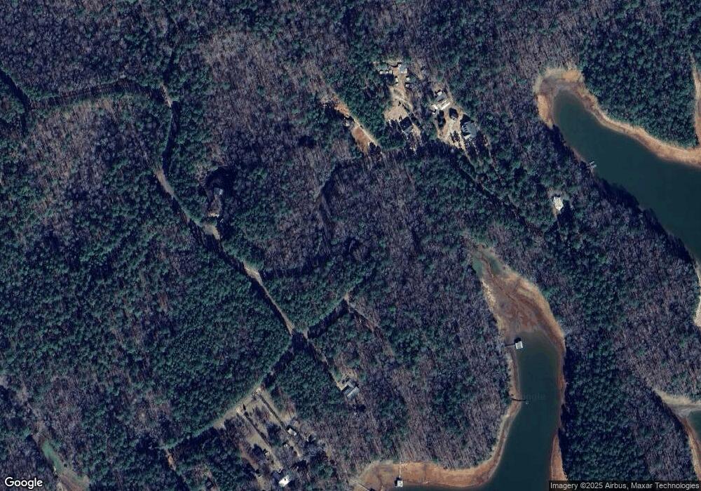
Map
Nearby Homes
- 265 Neely Rd
- 163 Terri Rd
- 15 Williams Ct
- 511 Williams Rd
- 177 Abbottsford Rd
- 0 Leisure Cove Dr Unit 10619411
- 226 Linda Ln
- 104 Dogwood Point
- 4004 White Oak Ln
- 0 Antioch Rd Unit 10656005
- 103 Dogwood Ct
- 205 Long Cove Dr
- 709 Vernon Ferry Rd
- 1904 S State Line Rd
- 0 Deming St Unit 10550189
- LOT 4 Angela Dr
- E Angela Dr
- 40 River Point Dr
- 135 Planters Ridge Dr
- 474 Newton Rd
- 0 Turkey Point Ct Unit 8044029
- 0 Turkey Point Ct Unit 8044027
- 0 Turkey Point Ct Unit 8044023
- 0 Turkey Point Ct Unit 8044021
- 791 Turkey Point Dr
- 813 Turkey Point Dr
- 695 Turkey Point Dr
- 19 Turkey Point Ct
- 835 Turkey Point Dr
- 31 Turkey Point Ct
- 839 Turkey Point Dr
- Lot 24 Turkey Point Ct
- 59 Turkey Point Ct
- 895 Turkey Point Dr
- 85 Turkey Creek Point
- 0 Turkey Creek Point Unit 7569077
- 85 Turkey Point Ct
- 71 Turkey Point Ct
- 89 Turkey Point Ct
- 107 Turkey Point Ct