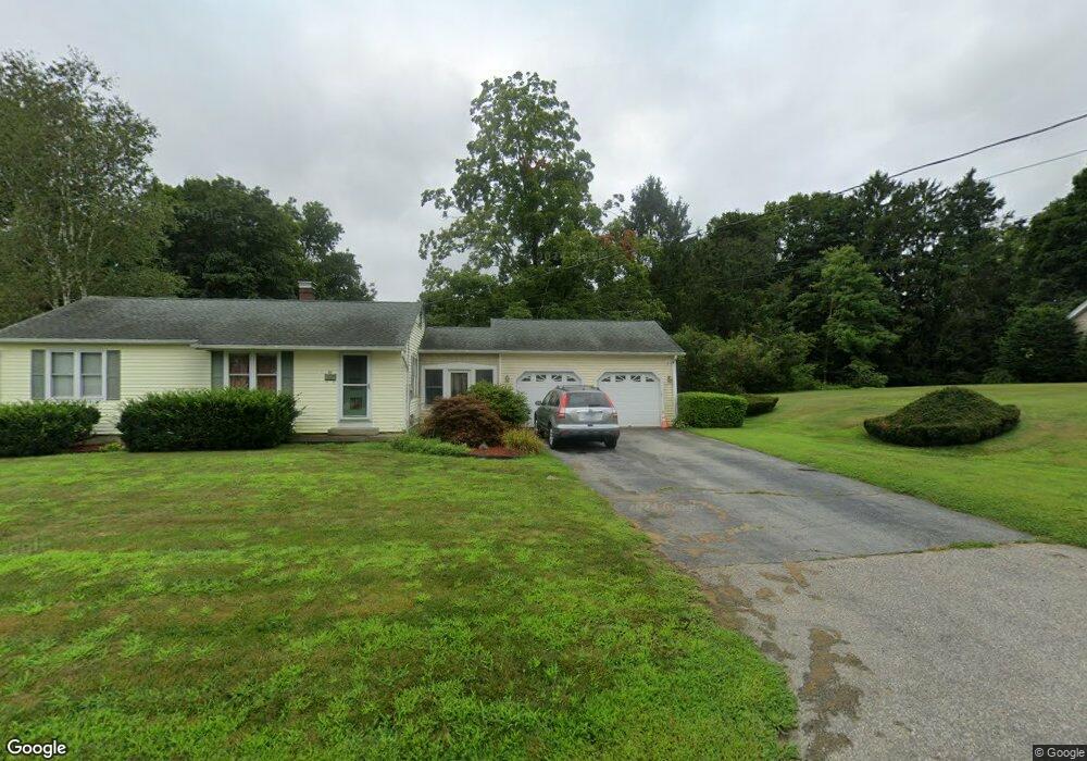
68 Westfield Ave Danielson, CT 06239
Estimated Value: $291,000 - $395,000
3
Beds
3
Baths
1,824
Sq Ft
$189/Sq Ft
Est. Value
About This Home
This home is located at 68 Westfield Ave, Danielson, CT 06239 and is currently estimated at $344,118, approximately $188 per square foot. 68 Westfield Ave is a home located in Windham County with nearby schools including Killingly Central School, Killingly Memorial School, and Killingly Intermediate School.
Ownership History
Date
Name
Owned For
Owner Type
Purchase Details
Closed on
Sep 24, 2019
Sold by
Wilmington Svgs Fund Soc
Bought by
Briggs Matthew
Current Estimated Value
Home Financials for this Owner
Home Financials are based on the most recent Mortgage that was taken out on this home.
Original Mortgage
$128,213
Outstanding Balance
$114,805
Interest Rate
4.75%
Mortgage Type
FHA
Estimated Equity
$229,313
Purchase Details
Closed on
May 20, 2019
Sold by
Pierce Kenneth R and Wilmington Svgs Fund Soc
Bought by
Wilmington Svgs Fund Soc
Create a Home Valuation Report for This Property
The Home Valuation Report is an in-depth analysis detailing your home's value as well as a comparison with similar homes in the area
Home Values in the Area
Average Home Value in this Area
Purchase History
| Date | Buyer | Sale Price | Title Company |
|---|---|---|---|
| Briggs Matthew | $96,000 | -- | |
| Briggs Matthew | $96,000 | -- | |
| Wilmington Svgs Fund Soc | -- | -- | |
| Wilmington Svgs Fund Soc | -- | -- |
Source: Public Records
Mortgage History
| Date | Status | Borrower | Loan Amount |
|---|---|---|---|
| Open | Briggs Matthew | $128,213 | |
| Closed | Briggs Matthew | $128,213 |
Source: Public Records
Tax History Compared to Growth
Tax History
| Year | Tax Paid | Tax Assessment Tax Assessment Total Assessment is a certain percentage of the fair market value that is determined by local assessors to be the total taxable value of land and additions on the property. | Land | Improvement |
|---|---|---|---|---|
| 2025 | $5,061 | $202,030 | $28,820 | $173,210 |
| 2024 | $4,831 | $202,030 | $28,820 | $173,210 |
| 2023 | $4,025 | $125,440 | $27,160 | $98,280 |
| 2022 | $3,787 | $125,440 | $27,160 | $98,280 |
| 2021 | $3,787 | $125,440 | $27,160 | $98,280 |
| 2020 | $3,724 | $125,440 | $27,160 | $98,280 |
| 2019 | $3,764 | $125,440 | $27,160 | $98,280 |
| 2017 | $3,159 | $97,930 | $17,570 | $80,360 |
| 2016 | $3,159 | $97,930 | $17,570 | $80,360 |
| 2015 | $3,096 | $97,930 | $17,570 | $80,360 |
| 2014 | $3,022 | $97,930 | $17,570 | $80,360 |
Source: Public Records
Map
Nearby Homes
- 16 James St
- 409 Main St
- 65 Stone St
- 58 Athol St Unit 58
- 78 Athol St
- 69 Peckham Ln
- 48 Athol St Unit 48
- 94 Mechanic St
- 17 Hillside Terrace
- 144 Prospect Ave
- 140 Woodward St
- 24 Center St
- 415 Maple St
- 860 N Main St
- 133 Maple St
- 102 Cottage St
- 72 Main St
- 51 Maple St
- 37 Katherine Ave
- 513 Lhomme Street Extension