Estimated Value: $38,000 - $176,000
2
Beds
1
Bath
640
Sq Ft
$155/Sq Ft
Est. Value
About This Home
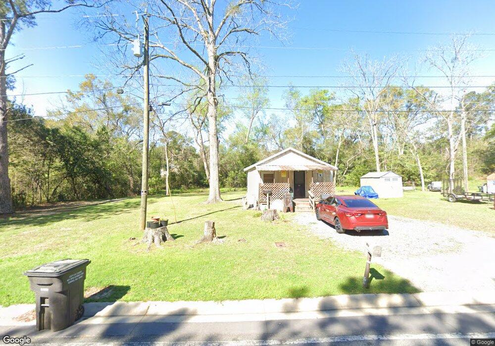
This home is located at 680 15th St SW, Cairo, GA 39828 and is currently estimated at $99,046, approximately $154 per square foot. 680 15th St SW is a home located in Grady County with nearby schools including Cairo High School.
Ownership History
Date
Name
Owned For
Owner Type
Purchase Details
Closed on
Jun 13, 2025
Sold by
Mcnair Jacqueline L
Bought by
Mcnair Karenza T
Current Estimated Value
Purchase Details
Closed on
Jul 12, 2006
Sold by
Lowe Mussette G
Bought by
Mcnair Jacqueline L and Mcnair Karenza T
Home Financials for this Owner
Home Financials are based on the most recent Mortgage that was taken out on this home.
Original Mortgage
$9,000
Interest Rate
6.6%
Mortgage Type
New Conventional
Purchase Details
Closed on
Jul 27, 1999
Sold by
Strickland Frankie H
Bought by
Lowe Fred A
Purchase Details
Closed on
Mar 5, 1963
Sold by
Strickland H E
Bought by
Strickland Frankie H
Create a Home Valuation Report for This Property
The Home Valuation Report is an in-depth analysis detailing your home's value as well as a comparison with similar homes in the area
Purchase History
| Date | Buyer | Sale Price | Title Company |
|---|---|---|---|
| Mcnair Karenza T | -- | -- | |
| Mcnair Jacqueline L | $10,000 | -- | |
| Lowe Fred A | $4,500 | -- | |
| Strickland Frankie H | -- | -- |
Source: Public Records
Mortgage History
| Date | Status | Borrower | Loan Amount |
|---|---|---|---|
| Previous Owner | Mcnair Jacqueline L | $9,000 |
Source: Public Records
Tax History
| Year | Tax Paid | Tax Assessment Tax Assessment Total Assessment is a certain percentage of the fair market value that is determined by local assessors to be the total taxable value of land and additions on the property. | Land | Improvement |
|---|---|---|---|---|
| 2025 | $270 | $11,500 | $2,580 | $8,920 |
| 2024 | $270 | $10,588 | $2,580 | $8,008 |
| 2023 | $351 | $11,134 | $2,120 | $9,014 |
| 2022 | $367 | $11,134 | $2,120 | $9,014 |
| 2021 | $368 | $11,134 | $2,120 | $9,014 |
| 2020 | $369 | $11,134 | $2,120 | $9,014 |
| 2019 | $369 | $11,134 | $2,120 | $9,014 |
| 2018 | $351 | $11,134 | $2,120 | $9,014 |
| 2017 | $339 | $11,134 | $2,120 | $9,014 |
| 2016 | $285 | $9,406 | $2,120 | $7,286 |
| 2015 | $282 | $9,406 | $2,120 | $7,286 |
| 2014 | $282 | $9,406 | $2,120 | $7,286 |
| 2013 | -- | $9,248 | $2,120 | $7,128 |
Source: Public Records
Map
Nearby Homes
- 0 Georgia 111
- 000 1st Ave SW
- 320 8th St SW
- 460 2nd St SW
- 1327 Rest St SW
- 112 Pine Cir SW
- 117 SW Pine Cirlce
- 00 10th Avenue N W
- 000 S Broad St
- X 1st St
- 0 1st St
- 125 6th Ave NW
- 1193 S Broad St
- 00 Lake Douglas
- Lot 27 W Lake Dr
- 220 8th Ave NW
- 303 4th Ave SE
- 309 3rd St SE
- 1293 McQuaig St NW
- 1296 McQuaig St NW
- 634 15th St SW
- 694 15th St SW
- 630 15th St SW
- 675 15th St SW
- 675 16th St SW
- 655 16th St SW
- 701 Legion Blvd SW
- 645 16th St SW
- 680 Westbrooks St SW
- 790 Legion Blvd SW
- 620 15th St SW
- 660 16th St SW
- 494 Westbrooks St SW
- 652 Westbrooks St SW
- 639 Legion Blvd SW
- 650 16th St SW
- 615 15th St SW
- 502 Westbrooks St SW
- 600 16th St SW
- 647 Westbrooks St SW
Your Personal Tour Guide
Ask me questions while you tour the home.