680 Benge Rd Hockessin, DE 19707
Estimated Value: $553,000 - $711,000
3
Beds
1
Bath
3,540
Sq Ft
$172/Sq Ft
Est. Value
About This Home
This home is located at 680 Benge Rd, Hockessin, DE 19707 and is currently estimated at $607,365, approximately $171 per square foot. 680 Benge Rd is a home with nearby schools including Dupont (H.B.) Middle School, Alexis I. du Pont High School, and Sanford School.
Ownership History
Date
Name
Owned For
Owner Type
Purchase Details
Closed on
Jun 13, 2003
Sold by
Mellinger Donald Marty
Bought by
Mellinger Donald M and Mellinger Dawn R
Current Estimated Value
Home Financials for this Owner
Home Financials are based on the most recent Mortgage that was taken out on this home.
Original Mortgage
$295,416
Interest Rate
5.71%
Mortgage Type
Purchase Money Mortgage
Create a Home Valuation Report for This Property
The Home Valuation Report is an in-depth analysis detailing your home's value as well as a comparison with similar homes in the area
Home Values in the Area
Average Home Value in this Area
Purchase History
| Date | Buyer | Sale Price | Title Company |
|---|---|---|---|
| Mellinger Donald M | -- | -- |
Source: Public Records
Mortgage History
| Date | Status | Borrower | Loan Amount |
|---|---|---|---|
| Closed | Mellinger Donald M | $295,416 |
Source: Public Records
Tax History
| Year | Tax Paid | Tax Assessment Tax Assessment Total Assessment is a certain percentage of the fair market value that is determined by local assessors to be the total taxable value of land and additions on the property. | Land | Improvement |
|---|---|---|---|---|
| 2024 | $3,680 | $99,600 | $33,900 | $65,700 |
| 2023 | $3,247 | $99,600 | $33,900 | $65,700 |
| 2022 | $3,285 | $99,600 | $33,900 | $65,700 |
| 2021 | $3,285 | $99,600 | $33,900 | $65,700 |
| 2020 | $3,296 | $99,600 | $33,900 | $65,700 |
| 2019 | $3,291 | $99,600 | $33,900 | $65,700 |
| 2018 | $3,225 | $99,600 | $33,900 | $65,700 |
| 2017 | $3,186 | $99,600 | $33,900 | $65,700 |
| 2016 | $3,042 | $99,600 | $33,900 | $65,700 |
| 2015 | $2,851 | $99,600 | $33,900 | $65,700 |
| 2014 | $2,638 | $99,600 | $33,900 | $65,700 |
Source: Public Records
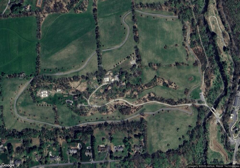
Map
Nearby Homes
- 747 Morris Rd
- 10 Yorkridge Trail
- 11 Yorkridge Trail
- 1075 Yorklyn Rd
- 12 Larchmont Ct
- 42 Clouds Way
- 47 Clifton Dr
- 707 Pine Ridge Ln
- 304 Bartram Ln E
- 988 Sharpless Rd
- 102 Knoxlyn Farm Dr
- 1439 Old Wilmington Rd
- 1626 Snuff Mill Rd
- 112 Cameron Dr
- 408 Willowbend Ct
- 105 Bellfield Ct
- 100 Pennfield Dr
- 820 Sharpless Rd
- 1127 Kaolin Rd
- 531 Chandler Mill Rd
Your Personal Tour Guide
Ask me questions while you tour the home.