Estimated Value: $690,000 - $828,988
3
Beds
3
Baths
1,976
Sq Ft
$389/Sq Ft
Est. Value
About This Home
This home is located at 680 Branch Rd, Wells, ME 04090 and is currently estimated at $767,747, approximately $388 per square foot. 680 Branch Rd is a home with nearby schools including Wells Elementary School, Wells Junior High School, and Wells High School.
Ownership History
Date
Name
Owned For
Owner Type
Purchase Details
Closed on
Jul 19, 2024
Sold by
Ouellette Joseph and Ouellette Skye
Bought by
Ouellette Props
Current Estimated Value
Purchase Details
Closed on
Mar 5, 2021
Sold by
Ouellette Joseph
Bought by
Ouellette Joseph and Ouellette Skye
Home Financials for this Owner
Home Financials are based on the most recent Mortgage that was taken out on this home.
Original Mortgage
$500,000
Interest Rate
2.7%
Mortgage Type
Purchase Money Mortgage
Purchase Details
Closed on
Jul 5, 2013
Sold by
Ocean View Cemetery Inc
Bought by
Wells Town Of
Create a Home Valuation Report for This Property
The Home Valuation Report is an in-depth analysis detailing your home's value as well as a comparison with similar homes in the area
Home Values in the Area
Average Home Value in this Area
Purchase History
| Date | Buyer | Sale Price | Title Company |
|---|---|---|---|
| Ouellette Props | -- | None Available | |
| Ouellette Props | -- | None Available | |
| Ouellette Joseph | -- | Stewart Title | |
| Ouellette Joseph | -- | Stewart Title | |
| Ouellette Joseph | -- | Stewart Title | |
| Wells Town Of | -- | -- |
Source: Public Records
Mortgage History
| Date | Status | Borrower | Loan Amount |
|---|---|---|---|
| Previous Owner | Ouellette Joseph | $500,000 |
Source: Public Records
Tax History Compared to Growth
Tax History
| Year | Tax Paid | Tax Assessment Tax Assessment Total Assessment is a certain percentage of the fair market value that is determined by local assessors to be the total taxable value of land and additions on the property. | Land | Improvement |
|---|---|---|---|---|
| 2024 | $4,355 | $716,220 | $280,890 | $435,330 |
| 2023 | $4,269 | $716,220 | $280,890 | $435,330 |
| 2022 | $4,021 | $384,400 | $128,000 | $256,400 |
| 2021 | $4,044 | $384,400 | $56,190 | $328,210 |
| 2020 | $269 | $384,400 | $120,000 | $264,400 |
| 2019 | $263 | $384,400 | $120,000 | $264,400 |
| 2018 | $3,481 | $384,400 | $128,000 | $256,400 |
| 2017 | $160 | $384,400 | $128,000 | $256,400 |
| 2016 | $3,827 | $380,400 | $128,000 | $252,400 |
| 2015 | $3,201 | $321,720 | $128,000 | $193,720 |
| 2013 | $1,265 | $138,660 | $138,660 | $0 |
Source: Public Records
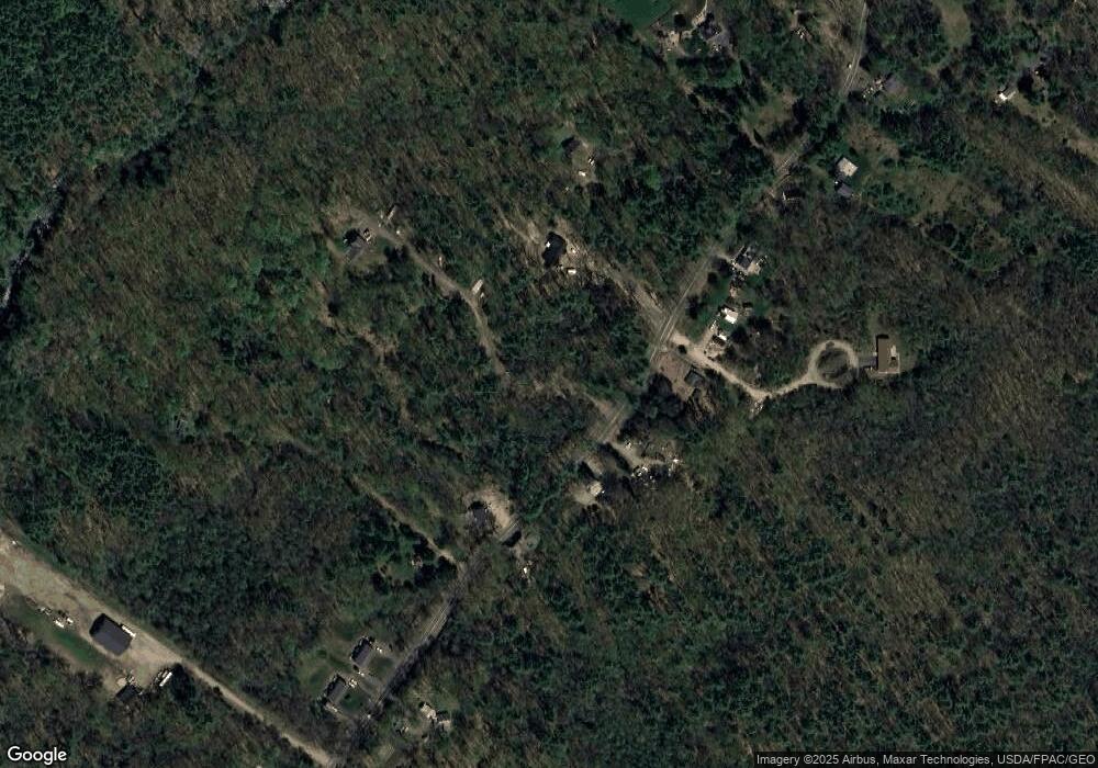
Map
Nearby Homes
- 00 Farm View Ln
- 222 Hobbs Farm Rd Unit Lot 10
- 1007 Branch Rd
- Lot #6 Meetinghouse Rd
- 63 Baker Rd
- 46 Baker Rd
- 40 Baker Rd
- 42 Baker Rd Unit 42
- 42 Baker Rd
- 38 Four Seasons Farm Rd Unit 2
- 46 Berube Cir
- Lot #11B Sanford Rd
- 557 Coles Hill Rd
- 0 Sanford Rd
- 1852 Sanford Rd
- 22 N Berwick Rd
- 170 Buttonbush Ln Unit 21
- lot 3 Lydias Cir
- 57 Juniper Ln Unit Lot 27
- lot 5 Lydia's Cir
- 632 Branch Rd
- 644 Branch Rd
- 630 Branch Rd
- 630 Branch Rd
- 630 - 632 Branch Rd
- 604 Branch Rd
- 710 Branch Rd
- 665 Branch Rd
- 663 Branch Rd
- 645 Branch Rd
- 701 Branch Rd
- 677 Branch Rd
- 691 Branch Rd
- 598 Branch Rd
- 202 Waters Edge Dr
- 92 Birch Farm Way
- 33 Birch Farm Way
- 104 Birch Farm Way
- 95 Birch Farm Way
- 39 Birch Farm Way