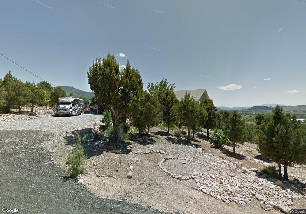
680 E Cottontail Rd Central, UT 84722
Estimated Value: $559,000 - $623,812
5
Beds
4
Baths
3,380
Sq Ft
$172/Sq Ft
Est. Value
About This Home
This home is located at 680 E Cottontail Rd, Central, UT 84722 and is currently estimated at $581,453, approximately $172 per square foot. 680 E Cottontail Rd is a home located in Washington County with nearby schools including Enterprise School and Enterprise High School.
Ownership History
Date
Name
Owned For
Owner Type
Purchase Details
Closed on
Jan 4, 2021
Sold by
Cook Edward E and Cook Glenda L
Bought by
Cook Edward E and Cook Glenda L
Current Estimated Value
Home Financials for this Owner
Home Financials are based on the most recent Mortgage that was taken out on this home.
Original Mortgage
$206,000
Interest Rate
2.7%
Mortgage Type
New Conventional
Create a Home Valuation Report for This Property
The Home Valuation Report is an in-depth analysis detailing your home's value as well as a comparison with similar homes in the area
Home Values in the Area
Average Home Value in this Area
Purchase History
| Date | Buyer | Sale Price | Title Company |
|---|---|---|---|
| Cook Edward E | -- | Accommodation | |
| Cook Edward E | -- | Inwest Title Services |
Source: Public Records
Mortgage History
| Date | Status | Borrower | Loan Amount |
|---|---|---|---|
| Closed | Cook Edward E | $206,000 |
Source: Public Records
Tax History
| Year | Tax Paid | Tax Assessment Tax Assessment Total Assessment is a certain percentage of the fair market value that is determined by local assessors to be the total taxable value of land and additions on the property. | Land | Improvement |
|---|---|---|---|---|
| 2025 | $1,749 | $308,715 | $73,260 | $235,455 |
| 2023 | $1,909 | $320,870 | $73,260 | $247,610 |
| 2022 | $1,937 | $304,590 | $59,510 | $245,080 |
| 2021 | $1,834 | $432,900 | $76,200 | $356,700 |
| 2020 | $1,681 | $377,100 | $58,200 | $318,900 |
| 2019 | $1,596 | $350,300 | $58,200 | $292,100 |
| 2018 | $1,429 | $160,335 | $0 | $0 |
| 2017 | $1,254 | $140,645 | $0 | $0 |
| 2016 | $1,297 | $134,045 | $0 | $0 |
| 2015 | $1,296 | $128,820 | $0 | $0 |
| 2014 | $993 | $100,055 | $0 | $0 |
Source: Public Records
Map
Nearby Homes
- 706 E Cottontail Rd
- 425 E Mule Deer Rd
- 375 Hillcrest Cir
- 324 Hillside Cir
- 0 Hillcrest Cir
- 328 E Hillcrest
- 342 E Foothill Cir
- 207 E Red Hill Rd
- 115 E Hunter Ln
- 348 N Lodge Rd
- 202 E Rye Dr
- 165 E Forest Dr Unit 4
- 0 E Forest Dr
- 177 E Forest Dr
- 128 E Forest Dr
- 4 E Forest Dr
- 0 Utah 18
- 183 N Matt Dillon Trail
- 380 W Butch Cassidy Cir
- 65 N Butch Cassidy Trail
- 352 E Cottontail Rd Unit 2
- 648 E Cottontail Rd
- 647 E Cottontail Rd
- 734 E Cottontail Rd
- 612 E Cottontail Rd
- 733 E Cottontail Rd
- 613 E Cottontail Rd
- 762 E Cottontail Rd Unit 58
- 762 E Cottontail Rd
- 708 E Mule Deer Rd
- 586 E Cottontail Rd
- 682 E Mule Deer Rd
- 682 E Mule Deer Rd
- 585 E Cottontail Rd
- 736 E Mule Deer Rd
- 790 E Cottontail Rd
- 614 E Mule Deer Rd
- 791 E Cottontail Rd
- 560 E Cottontail Rd
- 0 E Mule Deer Rd
Your Personal Tour Guide
Ask me questions while you tour the home.