680 Hampstead Ln Ann Arbor, MI 48103
Barton Plateau and Huron River Heights NeighborhoodEstimated Value: $773,000 - $1,168,000
--
Bed
1
Bath
2,460
Sq Ft
$391/Sq Ft
Est. Value
About This Home
This home is located at 680 Hampstead Ln, Ann Arbor, MI 48103 and is currently estimated at $962,255, approximately $391 per square foot. 680 Hampstead Ln is a home located in Washtenaw County with nearby schools including Wines Elementary School, Forsythe Middle School, and Skyline High School.
Ownership History
Date
Name
Owned For
Owner Type
Purchase Details
Closed on
Feb 16, 2011
Sold by
Rosewarne Tracy A
Bought by
Rosewarne Brian P
Current Estimated Value
Home Financials for this Owner
Home Financials are based on the most recent Mortgage that was taken out on this home.
Original Mortgage
$417,000
Outstanding Balance
$285,072
Interest Rate
4.76%
Mortgage Type
New Conventional
Estimated Equity
$677,183
Purchase Details
Closed on
Jul 8, 2005
Sold by
Ash Janet E
Bought by
Rosewarne Brian P and Rosewarne Tracy A
Home Financials for this Owner
Home Financials are based on the most recent Mortgage that was taken out on this home.
Original Mortgage
$481,600
Interest Rate
5.68%
Mortgage Type
Fannie Mae Freddie Mac
Create a Home Valuation Report for This Property
The Home Valuation Report is an in-depth analysis detailing your home's value as well as a comparison with similar homes in the area
Home Values in the Area
Average Home Value in this Area
Purchase History
| Date | Buyer | Sale Price | Title Company |
|---|---|---|---|
| Rosewarne Brian P | -- | None Available | |
| Rosewarne Brian P | $602,001 | -- |
Source: Public Records
Mortgage History
| Date | Status | Borrower | Loan Amount |
|---|---|---|---|
| Open | Rosewarne Brian P | $417,000 | |
| Closed | Rosewarne Brian P | $481,600 |
Source: Public Records
Tax History Compared to Growth
Tax History
| Year | Tax Paid | Tax Assessment Tax Assessment Total Assessment is a certain percentage of the fair market value that is determined by local assessors to be the total taxable value of land and additions on the property. | Land | Improvement |
|---|---|---|---|---|
| 2025 | $2,990 | $488,800 | $0 | $0 |
| 2024 | $6,640 | $456,600 | $0 | $0 |
| 2023 | $6,380 | $432,300 | $0 | $0 |
| 2022 | $8,983 | $421,800 | $0 | $0 |
| 2021 | $8,768 | $421,300 | $0 | $0 |
| 2020 | $8,983 | $421,290 | $0 | $0 |
| 2019 | $8,455 | $387,140 | $387,140 | $0 |
| 2018 | $8,357 | $330,860 | $169,090 | $161,770 |
| 2017 | $8,068 | $260,420 | $0 | $0 |
| 2016 | $5,346 | $210,599 | $0 | $0 |
| 2015 | -- | $209,970 | $0 | $0 |
| 2014 | -- | $203,410 | $0 | $0 |
| 2013 | -- | $203,410 | $0 | $0 |
Source: Public Records
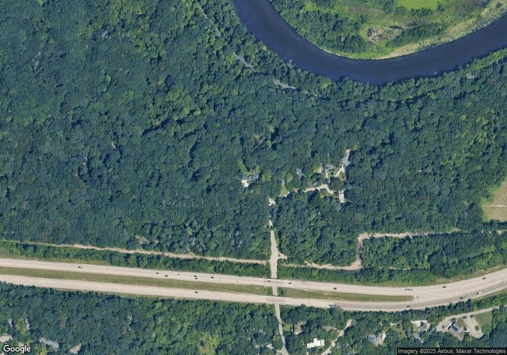
Map
Nearby Homes
- 1320 Orkney Dr
- 1132 Longshore Dr Unit 2
- 2174 Overlook Ct Unit 326
- 2208 Applewood Ct
- 601 Cressfield Ln
- 2108 Newport Rd
- 2136 Newport Rd
- 144 Barton Dr
- 2354 Newport Rd
- 1122 Mixtwood St
- 916 Brooks St
- 818 Gott St
- 508 W Summit St
- 209 Sunset Rd
- 207 Sunset Rd
- 1610 Saunders Crescent
- 118 W Summit St
- 352 Manor Dr
- 359 Brookside Dr
- 445 Hiscock St
- 670 Hampstead Ln
- 662 Hampstead Ln
- 654 Hampstead Ln
- 648 Hampstead Ln
- 630 Hampstead Ln
- 642 Hampstead Ln
- 0 Hampstead Ln
- 1500 Beechwood Dr
- 1531 Beechwood Dr
- 550 Huronview Blvd
- 610 Huronview Blvd
- 1501 Beechwood Dr
- 0 Beechwood Dr
- 1415 Beechwood Dr
- 515 Huronview Blvd
- 601 Huronview Blvd
- 1408 Beechwood Dr
- 1409 Beechwood Dr
- 605 Huronview Blvd
- 501 Huronview Blvd