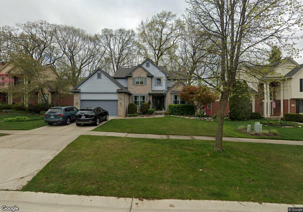
680 Lake Ridge Rd Rochester Hills, MI 48307
Estimated Value: $512,471 - $684,000
3
Beds
4
Baths
2,359
Sq Ft
$247/Sq Ft
Est. Value
About This Home
This home is located at 680 Lake Ridge Rd, Rochester Hills, MI 48307 and is currently estimated at $583,118, approximately $247 per square foot. 680 Lake Ridge Rd is a home located in Oakland County with nearby schools including Woodland Elementary School, Avondale Middle School, and Avondale High School.
Ownership History
Date
Name
Owned For
Owner Type
Purchase Details
Closed on
Jan 21, 2009
Sold by
Simpson Frederick A and Simpson Susan L
Bought by
Bailey Nella
Current Estimated Value
Purchase Details
Closed on
Oct 11, 1995
Sold by
Joseph Michael Const Co
Bought by
Simpson Frederick A
Home Financials for this Owner
Home Financials are based on the most recent Mortgage that was taken out on this home.
Original Mortgage
$175,000
Interest Rate
7.68%
Create a Home Valuation Report for This Property
The Home Valuation Report is an in-depth analysis detailing your home's value as well as a comparison with similar homes in the area
Home Values in the Area
Average Home Value in this Area
Purchase History
| Date | Buyer | Sale Price | Title Company |
|---|---|---|---|
| Bailey Nella | $240,000 | Metropolitan Title Company | |
| Simpson Frederick A | $225,400 | -- |
Source: Public Records
Mortgage History
| Date | Status | Borrower | Loan Amount |
|---|---|---|---|
| Previous Owner | Simpson Frederick A | $175,000 |
Source: Public Records
Tax History Compared to Growth
Tax History
| Year | Tax Paid | Tax Assessment Tax Assessment Total Assessment is a certain percentage of the fair market value that is determined by local assessors to be the total taxable value of land and additions on the property. | Land | Improvement |
|---|---|---|---|---|
| 2022 | $2,729 | $175,640 | $0 | $0 |
| 2018 | $4,152 | $149,740 | $0 | $0 |
| 2017 | $4,072 | $147,160 | $0 | $0 |
| 2015 | -- | $133,680 | $0 | $0 |
| 2014 | -- | $126,140 | $0 | $0 |
| 2011 | -- | $112,900 | $0 | $0 |
Source: Public Records
Map
Nearby Homes
- 2352 Cumberland Rd
- 700 Woodfield Way
- 309 Coldiron Dr
- 2132 Winchester Rd
- 156 W Auburn Rd
- 2658 Simpson Dr
- 2533 Hartline Dr
- 2196 Willow Leaf Dr
- 0000 Auburn
- 2020 Breckenridge Ct
- 2043 Breckenridge Ct
- 2044 Breckenridge Ct
- 3093 Raffler Dr
- 2019 Breckenridge Ct
- 2028 Breckenridge Ct Unit 10
- 2032 Breckenridge Ct Unit 9
- 2770 Hickory Lawn Rd
- 2579 Dearborn Ave
- 3110 Raffler Dr
- 2289 Rochelle Park Dr Unit AA123
- 686 Lake Ridge Rd
- 674 Lake Ridge Rd
- 692 Lake Ridge Rd
- 681 Kentucky Dr
- 687 Kentucky Dr
- 675 Kentucky Dr
- 693 Kentucky Dr
- 698 Lake Ridge Rd
- 679 Lake Ridge Rd
- 685 Lake Ridge Rd
- 673 Lake Ridge Rd
- 662 Lake Ridge Rd
- 699 Kentucky Dr
- 667 Lake Ridge Rd
- 704 Lake Ridge Rd
- 697 Lake Ridge Rd
- 663 Kentucky Dr
- 705 Kentucky Dr
- 661 Lake Ridge Rd
- 2388 Cumberland Rd