680 Lone Pine Rd Bloomfield Hills, MI 48304
Estimated Value: $3,561,511 - $6,944,000
6
Beds
9
Baths
9,500
Sq Ft
$505/Sq Ft
Est. Value
About This Home
This home is located at 680 Lone Pine Rd, Bloomfield Hills, MI 48304 and is currently estimated at $4,800,628, approximately $505 per square foot. 680 Lone Pine Rd is a home located in Oakland County with nearby schools including Way Elementary School, South Hills Middle School, and Bloomfield Hills High School.
Ownership History
Date
Name
Owned For
Owner Type
Purchase Details
Closed on
Mar 23, 2010
Sold by
Cutsinger David
Bought by
Aurora Loan Services Llc
Current Estimated Value
Purchase Details
Closed on
Nov 14, 2003
Sold by
Jacob Ellen M and Ellen M Jacob Trust
Bought by
Cutsinger David
Create a Home Valuation Report for This Property
The Home Valuation Report is an in-depth analysis detailing your home's value as well as a comparison with similar homes in the area
Home Values in the Area
Average Home Value in this Area
Purchase History
| Date | Buyer | Sale Price | Title Company |
|---|---|---|---|
| Aurora Loan Services Llc | $2,750,000 | None Available | |
| Cutsinger David | -- | Heritage Title |
Source: Public Records
Tax History Compared to Growth
Tax History
| Year | Tax Paid | Tax Assessment Tax Assessment Total Assessment is a certain percentage of the fair market value that is determined by local assessors to be the total taxable value of land and additions on the property. | Land | Improvement |
|---|---|---|---|---|
| 2024 | $56,404 | $2,501,580 | $0 | $0 |
| 2023 | $54,263 | $2,415,140 | $0 | $0 |
| 2022 | $62,736 | $2,293,230 | $0 | $0 |
| 2021 | $60,429 | $2,290,170 | $0 | $0 |
| 2020 | $49,546 | $2,390,090 | $0 | $0 |
| 2019 | $56,252 | $2,318,020 | $0 | $0 |
| 2018 | $56,406 | $2,362,550 | $0 | $0 |
| 2017 | $55,820 | $2,328,470 | $0 | $0 |
| 2016 | $55,631 | $2,249,470 | $0 | $0 |
| 2015 | -- | $2,178,340 | $0 | $0 |
| 2014 | -- | $1,879,840 | $0 | $0 |
| 2011 | -- | $1,287,390 | $0 | $0 |
Source: Public Records
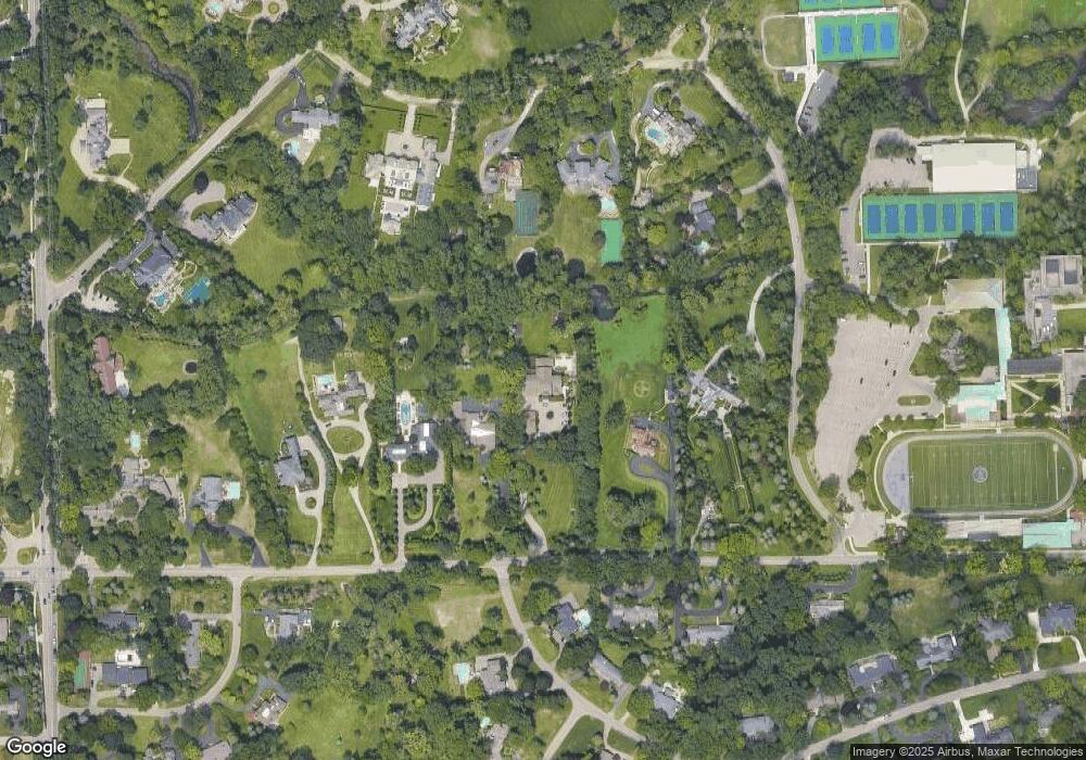
Map
Nearby Homes
- 692 Bennington Dr
- 596 Rudgate Rd
- 4650 Lahser Rd
- 931 Vaughan Rd
- 341 Keswick Rd
- 270 Martell Dr
- 362 Keswick Rd
- 1348 Charrington Rd
- 1287 Charrington Rd
- 275 Barden Rd
- 1027 Joanne Ct
- 5825 Lahser Rd
- 130 Denbar Rd
- 229 Barden Rd
- 110 Denbar Rd
- 3546 Bloomfield Club Dr
- 5080 Tootmoor Rd
- 3797 Burning Tree Dr
- 801 W Long Lake Rd
- 5129 Woodlands Ln
- 700 Lone Pine Rd
- 650 Lone Pine Rd
- 710 Lone Pine Rd
- 601 Orchard Ridge Rd
- 625 Hillcrest Dr
- 720 Lone Pine Rd
- 635 Hillcrest Dr
- 651 Orchard Ridge Rd
- 699 Bennington Dr
- 675 Hillcrest Dr
- 730 Lone Pine Rd
- 671 Orchard Ridge Rd
- 676 Bennington Dr
- 621 Lone Pine Rd
- 681 Bennington Dr
- 740 Lone Pine Rd
- 662 Bennington Dr
- 685 Hillcrest Dr
- 605 Lone Pine Rd
- 666 Vaughan Rd