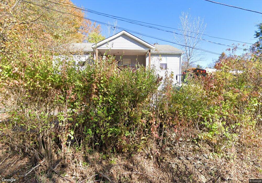
680 Maple Rd Covington, KY 41015
South Covington NeighborhoodEstimated Value: $156,000 - $216,519
4
Beds
3
Baths
1,376
Sq Ft
$137/Sq Ft
Est. Value
About This Home
This home is located at 680 Maple Rd, Covington, KY 41015 and is currently estimated at $187,880, approximately $136 per square foot. 680 Maple Rd is a home located in Kenton County with nearby schools including Taylor Mill Elementary School, Woodland Middle School, and Scott High School.
Ownership History
Date
Name
Owned For
Owner Type
Purchase Details
Closed on
Jun 29, 2009
Sold by
Castle Tyra L and Castle James K
Bought by
Habitat For Humanity Tristate Ohio Kentu
Current Estimated Value
Purchase Details
Closed on
Sep 21, 2004
Sold by
Habitat For Humanity Tristate Ohio Kentu
Bought by
Castle James and Castle Tyra
Home Financials for this Owner
Home Financials are based on the most recent Mortgage that was taken out on this home.
Original Mortgage
$70,965
Interest Rate
5.92%
Mortgage Type
Seller Take Back
Create a Home Valuation Report for This Property
The Home Valuation Report is an in-depth analysis detailing your home's value as well as a comparison with similar homes in the area
Home Values in the Area
Average Home Value in this Area
Purchase History
| Date | Buyer | Sale Price | Title Company |
|---|---|---|---|
| Habitat For Humanity Tristate Ohio Kentu | -- | None Available | |
| Castle James | $73,500 | -- |
Source: Public Records
Mortgage History
| Date | Status | Borrower | Loan Amount |
|---|---|---|---|
| Previous Owner | Castle James | $70,965 | |
| Closed | Castle James | $14,500 |
Source: Public Records
Tax History
| Year | Tax Paid | Tax Assessment Tax Assessment Total Assessment is a certain percentage of the fair market value that is determined by local assessors to be the total taxable value of land and additions on the property. | Land | Improvement |
|---|---|---|---|---|
| 2025 | $758 | $104,200 | $15,000 | $89,200 |
| 2024 | $688 | $92,000 | $5,000 | $87,000 |
| 2023 | $711 | $92,000 | $5,000 | $87,000 |
| 2022 | $1,520 | $92,000 | $5,000 | $87,000 |
| 2021 | $1,504 | $92,000 | $5,000 | $87,000 |
| 2020 | $1,376 | $80,000 | $5,000 | $75,000 |
| 2019 | $1,397 | $80,000 | $5,000 | $75,000 |
| 2018 | $1,384 | $80,000 | $5,000 | $75,000 |
| 2017 | $1,095 | $80,000 | $5,000 | $75,000 |
| 2015 | $1,056 | $80,000 | $10,000 | $70,000 |
| 2014 | $1,042 | $80,000 | $10,000 | $70,000 |
Source: Public Records
Map
Nearby Homes
- 1479 Hands Pike
- 3199 Summitrun Dr
- 5809 Taylor Mill Rd
- 83 Pitman Ct
- 121 Indian Creek Dr
- 1305 Hands Pike
- 3042 Sugar Camp Rd
- 170 Beaver Ct
- 9163 Blueridge Dr
- 139 Tando Way
- 838 Stablewatch Dr
- 907 Stablewatch Dr
- 8 Tripoli Ln
- 3576 Gilford Ct
- 581 Valley View Dr
- 951 Stablewatch Dr
- 3253 Highridge Dr
- 968 Stablewatch Dr
- 1 Ridgeport Dr
- 6409 Stonemill Dr
- 669-673 Maple Rd
- 6008 Laurel Rd
- 673 Maple Rd
- 6009 Laurel Rd
- 6011 Laurel Rd
- 6016 Taylor Mill Rd
- 669 Maple Rd
- 484 Walnut Rd
- 6008 Taylor Mill Rd
- 484 Walnut Rd
- 3523 Lipscomb Rd
- 6030 Clubhouse Dr
- 3527 Lipscomb Rd
- 470 Walnut Rd
- 488 Walnut Rd
- 3519 Lipscomb Rd
- 3513 Lipscomb Rd
- 6028 Taylor Mill Rd
- 3531 Lipscomb Rd
- 6026 Clubhouse Dr
Your Personal Tour Guide
Ask me questions while you tour the home.