680 Maple Rd Covington, KY 41015
South Covington NeighborhoodEstimated Value: $156,000 - $248,154
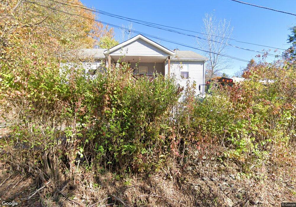
About This Home
This home is located at 680 Maple Rd, Covington, KY 41015 and is currently estimated at $184,789, approximately $134 per square foot. 680 Maple Rd is a home located in Kenton County with nearby schools including Taylor Mill Elementary School, Woodland Middle School, and Scott High School.
Ownership History
We collect this data history from publicly available records. To have your information removed, we recommend requesting removal directly through your county’s website.
Purchase Details
Purchase Details
Home Financials for this Owner
Home Financials are based on the most recent Mortgage that was taken out on this home.Home Values in the Area
Average Home Value in this Area
Purchase History
We collect this data history from publicly available records. To have your information removed, we recommend requesting removal directly through your county’s website.
| Date | Buyer | Sale Price | Title Company |
|---|---|---|---|
| -- | None Available | ||
| $73,500 | -- |
Mortgage History
We collect this data history from publicly available records. To have your information removed, we recommend requesting removal directly through your county’s website.
| Date | Status | Borrower | Loan Amount |
|---|---|---|---|
| Previous Owner | $70,965 | ||
| Closed | $14,500 |
Tax History
We collect this data history from publicly available records. To have your information removed, we recommend requesting removal directly through your county’s website.
| Year | Tax Paid | Tax Assessment Tax Assessment Total Assessment is a certain percentage of the fair market value that is determined by local assessors to be the total taxable value of land and additions on the property. | Land | Improvement |
|---|---|---|---|---|
| 2025 | $758 | $104,200 | $15,000 | $89,200 |
| 2024 | $688 | $92,000 | $5,000 | $87,000 |
| 2023 | $711 | $92,000 | $5,000 | $87,000 |
| 2022 | $1,520 | $92,000 | $5,000 | $87,000 |
| 2021 | $1,504 | $92,000 | $5,000 | $87,000 |
| 2020 | $1,376 | $80,000 | $5,000 | $75,000 |
| 2019 | $1,397 | $80,000 | $5,000 | $75,000 |
| 2018 | $1,384 | $80,000 | $5,000 | $75,000 |
| 2017 | $1,095 | $80,000 | $5,000 | $75,000 |
| 2015 | $1,056 | $80,000 | $10,000 | $70,000 |
| 2014 | $1,042 | $80,000 | $10,000 | $70,000 |
Map
- 472 Hemlock Rd
- 3265 Summitrun Dr
- 3348 Summitrun Dr
- 3171 Summitrun Dr
- 9688 Cloveridge Dr
- 9618 Cloveridge Dr
- 3092 Bruces Trail
- 3474 Sunbrite Dr
- 45 Otter Dr
- 3042 Sugar Camp Rd
- 2976 Senour Rd
- 9163 Blueridge Dr
- 2990 Sugar Camp Rd
- 2819 Bentwood Dr
- 133 Green Hill Dr
- 19 Valeside Dr
- 907 Stablewatch Dr
- 2656 Ridgecrest Ln
- 3555 Capel Ct
- 931 Ally Way
- 669-673 Maple Rd
- 673 Maple Rd
- 6008 Laurel Rd
- 669 Maple Rd
- 484 Walnut Rd
- 6011 Laurel Rd
- 6009 Laurel Rd
- 6016 Taylor Mill Rd
- 484 Walnut Rd
- 488 Walnut Rd
- 470 Walnut Rd
- 6030 Clubhouse Dr
- 485 Walnut Rd
- 490 Walnut Rd
- 6008 Taylor Mill Rd
- 6026 Clubhouse Dr
- 486 Pine Rd
- 471 Walnut Rd
- 6028 Taylor Mill Rd
- 6032 Clubhouse Dr
Ask me questions while you tour the home.