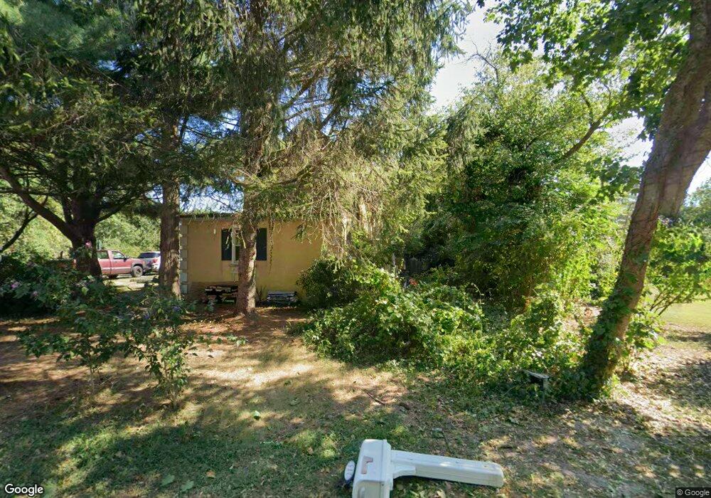
680 New England Rd Cape May, NJ 08204
Estimated Value: $846,000 - $1,073,000
--
Bed
--
Bath
2,290
Sq Ft
$415/Sq Ft
Est. Value
About This Home
This home is located at 680 New England Rd, Cape May, NJ 08204 and is currently estimated at $950,212, approximately $414 per square foot. 680 New England Rd is a home located in Cape May County with nearby schools including Carl T. Mitnick School, David C. Douglass Veterans Memorial School, and Maud Abrams School.
Ownership History
Date
Name
Owned For
Owner Type
Purchase Details
Closed on
Jul 8, 2021
Sold by
Palmer Edward A
Bought by
Lukens Donald M and Lukens Gail
Current Estimated Value
Purchase Details
Closed on
May 26, 2021
Sold by
Palmer Diane B
Bought by
Palmer Edward A
Purchase Details
Closed on
Dec 28, 2009
Sold by
Palmer Diane B
Bought by
Palmer Edward A
Create a Home Valuation Report for This Property
The Home Valuation Report is an in-depth analysis detailing your home's value as well as a comparison with similar homes in the area
Home Values in the Area
Average Home Value in this Area
Purchase History
| Date | Buyer | Sale Price | Title Company |
|---|---|---|---|
| Lukens Donald M | $60,000 | Misc Company | |
| Palmer Edward A | -- | Misc Company | |
| Palmer Edward A | -- | None Available |
Source: Public Records
Tax History Compared to Growth
Tax History
| Year | Tax Paid | Tax Assessment Tax Assessment Total Assessment is a certain percentage of the fair market value that is determined by local assessors to be the total taxable value of land and additions on the property. | Land | Improvement |
|---|---|---|---|---|
| 2025 | $6,490 | $320,000 | $230,000 | $90,000 |
| 2024 | $6,490 | $320,000 | $230,000 | $90,000 |
| 2023 | $6,397 | $320,000 | $230,000 | $90,000 |
| 2022 | $6,202 | $320,000 | $230,000 | $90,000 |
| 2021 | $6,495 | $345,500 | $255,500 | $90,000 |
| 2020 | $6,392 | $345,500 | $255,500 | $90,000 |
| 2019 | $6,233 | $345,500 | $255,500 | $90,000 |
| 2018 | $6,084 | $345,500 | $255,500 | $90,000 |
| 2017 | $6,091 | $345,500 | $255,500 | $90,000 |
| 2016 | $5,998 | $345,500 | $255,500 | $90,000 |
| 2015 | $5,804 | $345,500 | $255,500 | $90,000 |
| 2014 | $5,614 | $345,500 | $255,500 | $90,000 |
Source: Public Records
Map
Nearby Homes
- 3941 Bayshore Rd
- 1023 Shunpike Rd
- 3 Hannah Dr
- 3911 Bayshore Rd
- 1036 Seashore Rd
- 1031 Seashore Rd
- 1062 Seashore Rd
- 712 Gorham Ave
- 59 Westwood Dr
- 1083 Seashore Rd
- 602 Gorham Ave
- 818 Shunpike Rd
- 123 Stimpson Ln
- 313 Nantucket Dr
- 808 Westfield Ave
- 402 Whildam Ave
- 753 Route 9 Unit U
- 424 Portsmouth Rd
- 306 Sixth Ave
- 668 Crawford Rd
- 678 New England Rd
- 685 New England Rd
- 670 New England Rd
- 681 New England Rd
- 686 New England Rd
- 677 New England Rd
- 688 New England Rd
- 4005 Bayshore Rd
- 673 New England Rd
- 682 New England Rd
- 682 New England Rd Unit 549
- 690 New England Rd
- 3957 Bayshore Rd
- 695 New England Rd
- 695 New England Rd
- 3960 Bayshore Rd
- 4002 Bayshore Rd
- 3955 Bayshore Rd
- 684 New England Rd
- 3958 Bayshore Rd