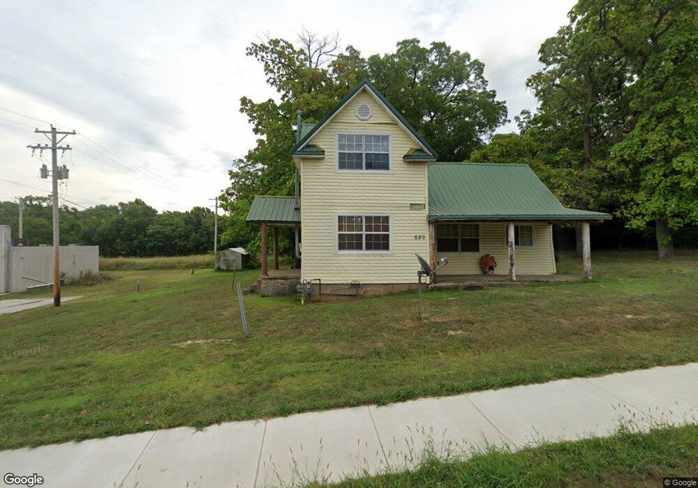
680 S Highway 59 Decatur, AR 72722
Estimated Value: $163,015 - $240,000
--
Bed
1
Bath
1,328
Sq Ft
$153/Sq Ft
Est. Value
About This Home
This home is located at 680 S Highway 59, Decatur, AR 72722 and is currently estimated at $203,004, approximately $152 per square foot. 680 S Highway 59 is a home located in Benton County with nearby schools including Decatur Northside Elementary School, Decatur Middle School, and Decatur High School.
Ownership History
Date
Name
Owned For
Owner Type
Purchase Details
Closed on
Jul 1, 2008
Sold by
Evans Linda Sue
Bought by
Evans David
Current Estimated Value
Purchase Details
Closed on
Aug 15, 1994
Bought by
Evans
Purchase Details
Closed on
Jul 15, 1994
Bought by
Gorsline
Purchase Details
Closed on
Jun 23, 1994
Bought by
Gorsline Linda Flo
Purchase Details
Closed on
Feb 16, 1994
Bought by
Gorsline Linda
Purchase Details
Closed on
Nov 20, 1991
Bought by
Gorsline
Create a Home Valuation Report for This Property
The Home Valuation Report is an in-depth analysis detailing your home's value as well as a comparison with similar homes in the area
Home Values in the Area
Average Home Value in this Area
Purchase History
| Date | Buyer | Sale Price | Title Company |
|---|---|---|---|
| Evans David | -- | None Available | |
| Evans | $19,000 | -- | |
| Gorsline | -- | -- | |
| Gorsline Linda Flo | -- | -- | |
| Gorsline Linda | -- | -- | |
| N | -- | -- | |
| Gorsline | -- | -- |
Source: Public Records
Tax History Compared to Growth
Tax History
| Year | Tax Paid | Tax Assessment Tax Assessment Total Assessment is a certain percentage of the fair market value that is determined by local assessors to be the total taxable value of land and additions on the property. | Land | Improvement |
|---|---|---|---|---|
| 2025 | $975 | $27,699 | $5,600 | $22,099 |
| 2024 | $868 | $27,699 | $5,600 | $22,099 |
| 2023 | $789 | $19,040 | $3,400 | $15,640 |
| 2022 | $766 | $19,040 | $3,400 | $15,640 |
| 2021 | $701 | $19,040 | $3,400 | $15,640 |
| 2020 | $637 | $11,670 | $860 | $10,810 |
| 2019 | $637 | $11,670 | $860 | $10,810 |
| 2018 | $607 | $11,670 | $860 | $10,810 |
| 2017 | $524 | $11,670 | $860 | $10,810 |
| 2016 | $524 | $11,670 | $860 | $10,810 |
| 2015 | $472 | $9,070 | $600 | $8,470 |
| 2014 | $472 | $9,070 | $600 | $8,470 |
Source: Public Records
Map
Nearby Homes
- 366 Spring Ave
- 776 Midway Ave
- 311 Charley St
- 1051 Peterson Ave
- 1462 Crestview Ave
- 612 Meadow Brook Ct
- 0 Grant Ave
- 675 Austin Ave
- 1098 Massey St
- HWY Arkansas 102
- 0 Arkansas 102
- 18239 Arkansas 102
- 1188 & 1202 Ar-102 Hwy
- 8707-8975 County Road 349
- 1213 Nedra Dr Unit B
- 9620 Eldson Dr
- 0 Y City Rd Unit 1301343
- 18630 Y City Rd
- 800 Buffalo Ave
- 9220 County Road 349