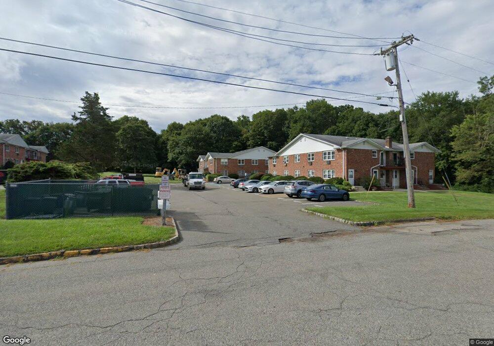
680 State Route 15 S Unit 41 Lake Hopatcong, NJ 07849
Estimated Value: $181,492 - $223,000
--
Bed
--
Bath
735
Sq Ft
$266/Sq Ft
Est. Value
About This Home
This home is located at 680 State Route 15 S Unit 41, Lake Hopatcong, NJ 07849 and is currently estimated at $195,623, approximately $266 per square foot. 680 State Route 15 S Unit 41 is a home located in Morris County with nearby schools including Jefferson Township Middle School and Jefferson Township High School.
Ownership History
Date
Name
Owned For
Owner Type
Purchase Details
Closed on
Feb 9, 2021
Sold by
Cote Matthew C and Plewa Kathryn
Bought by
680 Route 15 1 Llc
Current Estimated Value
Home Financials for this Owner
Home Financials are based on the most recent Mortgage that was taken out on this home.
Original Mortgage
$74,750
Outstanding Balance
$66,856
Interest Rate
2.7%
Mortgage Type
Construction
Estimated Equity
$128,767
Purchase Details
Closed on
Aug 3, 2005
Sold by
Wilshire Enterprises
Bought by
Cote Matthew and Plewa Kathryn
Home Financials for this Owner
Home Financials are based on the most recent Mortgage that was taken out on this home.
Original Mortgage
$120,000
Interest Rate
5.54%
Mortgage Type
Adjustable Rate Mortgage/ARM
Create a Home Valuation Report for This Property
The Home Valuation Report is an in-depth analysis detailing your home's value as well as a comparison with similar homes in the area
Home Values in the Area
Average Home Value in this Area
Purchase History
| Date | Buyer | Sale Price | Title Company |
|---|---|---|---|
| 680 Route 15 1 Llc | $115,000 | Mega Title Llc | |
| 680 Route 15 Llc | $115,000 | Wfg National Title | |
| Cote Matthew | $150,000 | -- |
Source: Public Records
Mortgage History
| Date | Status | Borrower | Loan Amount |
|---|---|---|---|
| Open | 680 Route 15 Llc | $74,750 | |
| Closed | 680 Route 15 Llc | $74,750 | |
| Previous Owner | Cote Matthew | $120,000 |
Source: Public Records
Tax History Compared to Growth
Tax History
| Year | Tax Paid | Tax Assessment Tax Assessment Total Assessment is a certain percentage of the fair market value that is determined by local assessors to be the total taxable value of land and additions on the property. | Land | Improvement |
|---|---|---|---|---|
| 2025 | $2,591 | $86,300 | $41,000 | $45,300 |
| 2024 | $2,525 | $86,300 | $41,000 | $45,300 |
| 2023 | $2,525 | $86,300 | $41,000 | $45,300 |
| 2022 | $2,411 | $86,300 | $41,000 | $45,300 |
| 2021 | $2,411 | $86,300 | $41,000 | $45,300 |
| 2020 | $2,371 | $86,300 | $41,000 | $45,300 |
| 2019 | $2,257 | $82,100 | $40,000 | $42,100 |
| 2018 | $2,244 | $80,500 | $40,000 | $40,500 |
| 2017 | $2,228 | $78,500 | $40,000 | $38,500 |
| 2016 | $2,119 | $78,800 | $40,000 | $38,800 |
| 2015 | $2,125 | $77,200 | $40,000 | $37,200 |
| 2014 | $2,102 | $77,200 | $40,000 | $37,200 |
Source: Public Records
Map
Nearby Homes
- 680 New Jersey 15 Unit 60
- 0 Ackerman Unit 3950182
- 6 Lorac Ln
- 73 Edison Rd
- 00 Swan Ln
- 00 Swan Boa Vista Dr
- 692 Skyline Dr
- 36 S Cherry Rd
- 16 Waterside Dr
- 27 Yacht Club Dr
- 58 E Shore Rd
- 55 Taylor Rd
- 15 Benedict Dr
- 32 Mcnabb Rd
- 110 E Shawnee Trail
- 15 River Rd
- 15 River Rd (Aka Larry Rd)
- 833 Berkshire Valley Rd
- 30 Terrence Ave
- 8 Blanche Dr
- 680 State Route 15 S
- 680 State Route 15 S Unit 56
- 680 State Route 15 S Unit 24
- 680 State Route 15 S Unit 25
- 680 State Route 15 S Unit 21
- 680 State Route 15 S Unit 26
- 680 State Route 15 S Unit 3
- 680 State Route 15 S
- 680 State Route 15 S Unit 33
- 680 State Route 15 S Unit 44A
- 680 State Route 15 S Unit 54
- 680 State Route 15 S Unit 55
- 680 State Route 15 S Unit 47B
- 680 State Route 15 S Unit 67
- 680 State Route 15 S Unit 66
- 680 State Route 15 S Unit 65
- 680 State Route 15 S Unit 64
- 680 State Route 15 S Unit 63
- 680 State Route 15 S Unit 62
- 680 State Route 15 S Unit 61