680 Ware Rd Carnesville, GA 30521
Estimated Value: $989,921 - $1,119,000
1
Bed
--
Bath
3,619
Sq Ft
$291/Sq Ft
Est. Value
About This Home
This home is located at 680 Ware Rd, Carnesville, GA 30521 and is currently estimated at $1,054,461, approximately $291 per square foot. 680 Ware Rd is a home with nearby schools including Franklin County High School.
Ownership History
Date
Name
Owned For
Owner Type
Purchase Details
Closed on
Jun 20, 2002
Sold by
Westmoreland Scott L
Bought by
Mooney Harvey N and Mooney Velma L
Current Estimated Value
Purchase Details
Closed on
May 17, 1999
Sold by
Yoder Robert
Bought by
Mooney Harvey N
Purchase Details
Closed on
Feb 4, 1999
Bought by
Yoder Robert
Purchase Details
Closed on
Dec 12, 1996
Bought by
Mooney Harvey N
Purchase Details
Closed on
Sep 28, 1995
Bought by
Mooney Harvey N and Mooney Ve
Purchase Details
Closed on
Jan 3, 1995
Bought by
Mooney Velma L and Mooney Har
Purchase Details
Closed on
Dec 16, 1994
Bought by
Mooney Velma and Mooney Harve
Create a Home Valuation Report for This Property
The Home Valuation Report is an in-depth analysis detailing your home's value as well as a comparison with similar homes in the area
Home Values in the Area
Average Home Value in this Area
Purchase History
| Date | Buyer | Sale Price | Title Company |
|---|---|---|---|
| Mooney Harvey N | $45,000 | -- | |
| Mooney Harvey N | $30,000 | -- | |
| Yoder Robert | -- | -- | |
| Mooney Harvey N | $2,000 | -- | |
| Mooney Harvey N | $20,200 | -- | |
| Mooney Velma L | $10,000 | -- | |
| Mooney Velma | $25,000 | -- |
Source: Public Records
Tax History Compared to Growth
Tax History
| Year | Tax Paid | Tax Assessment Tax Assessment Total Assessment is a certain percentage of the fair market value that is determined by local assessors to be the total taxable value of land and additions on the property. | Land | Improvement |
|---|---|---|---|---|
| 2024 | $4,244 | $319,544 | $149,098 | $170,446 |
| 2023 | $4,175 | $290,521 | $135,570 | $154,951 |
| 2022 | $3,780 | $246,026 | $105,190 | $140,836 |
| 2021 | $3,389 | $223,383 | $105,190 | $118,193 |
| 2020 | $3,587 | $202,656 | $87,657 | $114,999 |
| 2019 | $3,408 | $202,656 | $87,657 | $114,999 |
| 2018 | $0 | $180,116 | $80,867 | $99,249 |
| 2017 | $3,069 | $180,116 | $80,867 | $99,249 |
| 2016 | $2,942 | $171,651 | $80,867 | $90,784 |
| 2015 | -- | $171,650 | $80,867 | $90,784 |
| 2014 | -- | $171,651 | $80,867 | $90,784 |
| 2013 | -- | $173,920 | $80,866 | $93,053 |
Source: Public Records
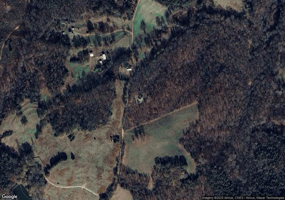
Map
Nearby Homes
- 695 Crump Mill Rd
- 451 Toms Creek Rd
- 0 Red Hill Rd Unit 10564928
- 0 Farmers Academy Rd Unit 20094392
- 1035 McFarlin Bridge Rd
- 2845 Hunters Creek Rd
- 380 Thomas Rd
- 0 Baty Rd Unit 10562917
- 740 Chapel Rd
- 380 Stephens Rd
- 95 Farmers Academy Rd
- 964 Gooseneck Rd
- 964 Gooseneck Rd
- 123 Gennings Dr
- 00 Hall Carson Rd
- 1845 Old Stagecoach Rd
- 6060 Highway 320
- 125 Lewis Crump Rd
- 83 Henry Williams Rd
- 0 Eastanollee Rd Unit 10440265
- 761 Ware Rd
- 467 Ware Rd
- 811 Ware Rd
- 0 Ware Rd
- 911 Ware Rd
- 15200 Highway 106
- 30052 Georgia 106
- 15408 Highway 106
- 15258 Highway 106
- 15140 Highway 106
- 14970 Highway 106
- 14970 Highway 106
- 16990 Highway 106 Unit 3.12 AC
- 16990 Georgia 106 Unit 3.12 AC
- 14842 Highway 106
- 137 Red Hill School Rd
- 3625 Farmers Academy Rd
- 3538 Farmers Academy Rd
- 0 Red Hill School Rd Unit 8637706
- 0 Red Hill School Rd