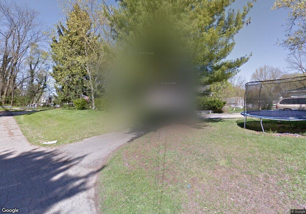
680 Wesley Ave Newark, OH 43055
Estimated Value: $201,774 - $253,000
3
Beds
1
Bath
1,706
Sq Ft
$131/Sq Ft
Est. Value
About This Home
This home is located at 680 Wesley Ave, Newark, OH 43055 and is currently estimated at $223,194, approximately $130 per square foot. 680 Wesley Ave is a home located in Licking County with nearby schools including Carson Elementary School, Heritage Middle School, and Newark High School.
Ownership History
Date
Name
Owned For
Owner Type
Purchase Details
Closed on
Aug 3, 2016
Sold by
Miller Stephanie S
Bought by
Miller Stephanie S and Jones Ursula D
Current Estimated Value
Purchase Details
Closed on
May 27, 2016
Sold by
Richards William E and Richards Brett A
Bought by
Miller Stephanie S
Home Financials for this Owner
Home Financials are based on the most recent Mortgage that was taken out on this home.
Original Mortgage
$92,297
Outstanding Balance
$73,578
Interest Rate
3.62%
Mortgage Type
FHA
Estimated Equity
$149,616
Create a Home Valuation Report for This Property
The Home Valuation Report is an in-depth analysis detailing your home's value as well as a comparison with similar homes in the area
Home Values in the Area
Average Home Value in this Area
Purchase History
| Date | Buyer | Sale Price | Title Company |
|---|---|---|---|
| Miller Stephanie S | $45,100 | None Available | |
| Miller Stephanie S | $94,000 | None Available |
Source: Public Records
Mortgage History
| Date | Status | Borrower | Loan Amount |
|---|---|---|---|
| Open | Miller Stephanie S | $92,297 |
Source: Public Records
Tax History Compared to Growth
Tax History
| Year | Tax Paid | Tax Assessment Tax Assessment Total Assessment is a certain percentage of the fair market value that is determined by local assessors to be the total taxable value of land and additions on the property. | Land | Improvement |
|---|---|---|---|---|
| 2024 | $1,824 | $51,000 | $16,100 | $34,900 |
| 2023 | $1,821 | $51,000 | $16,100 | $34,900 |
| 2022 | $1,539 | $38,290 | $8,960 | $29,330 |
| 2021 | $1,614 | $38,290 | $8,960 | $29,330 |
| 2020 | $1,650 | $38,290 | $8,960 | $29,330 |
| 2019 | $1,386 | $30,950 | $6,900 | $24,050 |
| 2018 | $1,387 | $0 | $0 | $0 |
| 2017 | $1,795 | $0 | $0 | $0 |
| 2016 | $1,053 | $0 | $0 | $0 |
| 2015 | $538 | $0 | $0 | $0 |
| 2014 | $1,897 | $0 | $0 | $0 |
| 2013 | $1,021 | $0 | $0 | $0 |
Source: Public Records
Map
Nearby Homes
- 67 S Hazelwood Ave
- 681 Wesley Ave
- 63 S Hazelwood Ave
- 59 S Hazelwood Ave
- 697 Wesley Ave
- 55 S Hazelwood Ave
- 51 S Hazelwood Ave
- 701 Wesley Ave
- 66 S Hazelwood Ave
- 705 Wesley Ave
- 47 S Hazelwood Ave
- 62 S Hazelwood Ave
- 58 S Hazelwood Ave
- 45 S Hazelwood Ave
- 54 S Hazelwood Ave
- 46 S Hazelwood Ave
- 39 S Hazelwood Ave
- 62 Bolen Ave
- 66 Bolen Ave
- 42 S Hazelwood Ave